Estimated Value: $506,000 - $554,000
3
Beds
3
Baths
2,210
Sq Ft
$239/Sq Ft
Est. Value
About This Home
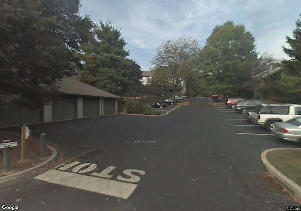
This home is located at 542 Foxwood Ln, Paoli, PA 19301 and is currently estimated at $527,831, approximately $238 per square foot. 542 Foxwood Ln is a home located in Chester County with nearby schools including Beaumont Elementary School, Tredyffrin-Easttown Middle School, and Conestoga Senior High School.
Ownership History
Date
Name
Owned For
Owner Type
Purchase Details
Closed on
Apr 2, 2014
Sold by
Johnston Charlotte F
Bought by
Harris Michael J and Harris Ching Tzu Jassamine
Current Estimated Value
Home Financials for this Owner
Home Financials are based on the most recent Mortgage that was taken out on this home.
Original Mortgage
$279,837
Outstanding Balance
$207,902
Interest Rate
3.75%
Mortgage Type
FHA
Estimated Equity
$319,929
Purchase Details
Closed on
Jul 19, 1994
Sold by
Johnston Alfred J and Johnston Charlotte F
Bought by
Johnston Charlotte F
Create a Home Valuation Report for This Property
The Home Valuation Report is an in-depth analysis detailing your home's value as well as a comparison with similar homes in the area
Home Values in the Area
Average Home Value in this Area
Purchase History
| Date | Buyer | Sale Price | Title Company |
|---|---|---|---|
| Harris Michael J | $285,000 | None Available | |
| Johnston Charlotte F | -- | -- |
Source: Public Records
Mortgage History
| Date | Status | Borrower | Loan Amount |
|---|---|---|---|
| Open | Harris Michael J | $279,837 |
Source: Public Records
Tax History Compared to Growth
Tax History
| Year | Tax Paid | Tax Assessment Tax Assessment Total Assessment is a certain percentage of the fair market value that is determined by local assessors to be the total taxable value of land and additions on the property. | Land | Improvement |
|---|---|---|---|---|
| 2025 | $5,741 | $153,910 | $46,680 | $107,230 |
| 2024 | $5,741 | $153,910 | $46,680 | $107,230 |
| 2023 | $5,368 | $153,910 | $46,680 | $107,230 |
| 2022 | $5,221 | $153,910 | $46,680 | $107,230 |
| 2021 | $5,108 | $153,910 | $46,680 | $107,230 |
| 2020 | $4,966 | $153,910 | $46,680 | $107,230 |
| 2019 | $4,827 | $153,910 | $46,680 | $107,230 |
| 2018 | $4,744 | $153,910 | $46,680 | $107,230 |
| 2017 | $4,637 | $153,910 | $46,680 | $107,230 |
| 2016 | -- | $153,910 | $46,680 | $107,230 |
| 2015 | -- | $153,910 | $46,680 | $107,230 |
| 2014 | -- | $153,910 | $46,680 | $107,230 |
Source: Public Records
Map
Nearby Homes
- 521 Foxwood Ln
- 2102 Quail Ridge Dr
- 1304 Weatherstone Dr Unit 1304
- 1201 Weatherstone Dr Unit 1201
- 1602 Weatherstone Dr Unit 1602
- 2104 Weatherstone Dr Unit 2104
- 1441 Berwyn Paoli Rd
- 5 Kent Ln
- 109 Vincent Rd
- 106 N Valley Rd
- 1242 Old Lancaster Rd
- 114 Manor Rd
- 104 Lynbrook Rd
- 29 Manor Rd
- 21 Manor Rd
- 1 Whitworth Ave
- 12 Moreland Rd
- 3 Bryan Ave
- 32 Manchester Ct
- 520 Hawthorne Place
- 543 Foxwood Ln Unit 543
- 541 Foxwood Ln Unit 541
- 544 Foxwood Ln
- 548 Foxwood Ln Unit 548
- 547 Foxwood Ln Unit 547
- 535 Foxwood Ln Unit 535
- 536 Foxwood Ln
- 546 Foxwood Ln
- 534 Foxwood Ln
- 537 Foxwood Ln Unit 537
- 533 Foxwood Ln
- 538 Foxwood Ln Unit 538
- 539 Foxwood Ln Unit 539
- 540 Foxwood Ln
- 530 Foxwood Ln Unit 530
- 529 Foxwood Ln Unit 529
- 549 Foxwood Ln Unit 549
- 551 Foxwood Ln
- 552 Foxwood Ln Unit 552
- 552 Foxwood Ln Unit 522