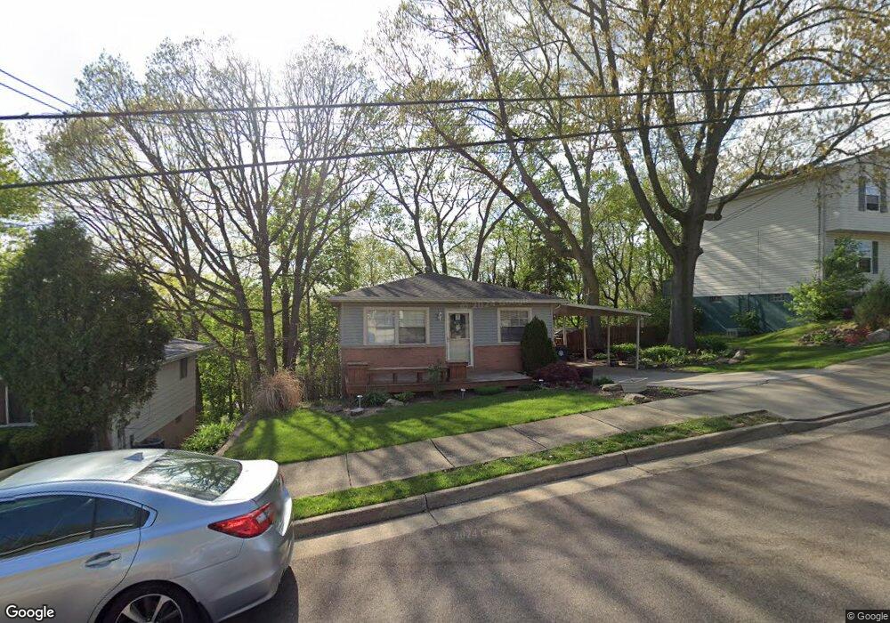
542 Gibbs Rd Akron, OH 44312
Ellet NeighborhoodEstimated Value: $144,000 - $162,809
3
Beds
2
Baths
1,050
Sq Ft
$147/Sq Ft
Est. Value
About This Home
This home is located at 542 Gibbs Rd, Akron, OH 44312 and is currently estimated at $154,452, approximately $147 per square foot. 542 Gibbs Rd is a home located in Summit County with nearby schools including Ellet High School, Summit Academy Akron Elementary School, and Akron Preparatory school.
Ownership History
Date
Name
Owned For
Owner Type
Purchase Details
Closed on
Jan 9, 2003
Sold by
Malcolm Robert C and Malcolm Candi L
Bought by
Vorse Brandy
Current Estimated Value
Home Financials for this Owner
Home Financials are based on the most recent Mortgage that was taken out on this home.
Original Mortgage
$75,000
Outstanding Balance
$32,648
Interest Rate
6.3%
Estimated Equity
$121,804
Purchase Details
Closed on
Oct 30, 2002
Sold by
Docy Gary Michael
Bought by
Malcolm Robert C
Create a Home Valuation Report for This Property
The Home Valuation Report is an in-depth analysis detailing your home's value as well as a comparison with similar homes in the area
Home Values in the Area
Average Home Value in this Area
Purchase History
| Date | Buyer | Sale Price | Title Company |
|---|---|---|---|
| Vorse Brandy | $75,000 | -- | |
| Malcolm Robert C | $47,000 | -- |
Source: Public Records
Mortgage History
| Date | Status | Borrower | Loan Amount |
|---|---|---|---|
| Open | Vorse Brandy | $75,000 |
Source: Public Records
Tax History Compared to Growth
Tax History
| Year | Tax Paid | Tax Assessment Tax Assessment Total Assessment is a certain percentage of the fair market value that is determined by local assessors to be the total taxable value of land and additions on the property. | Land | Improvement |
|---|---|---|---|---|
| 2025 | $2,226 | $41,164 | $9,923 | $31,241 |
| 2024 | $2,226 | $41,164 | $9,923 | $31,241 |
| 2023 | $2,226 | $41,164 | $9,923 | $31,241 |
| 2022 | $2,113 | $30,618 | $7,350 | $23,268 |
| 2021 | $2,060 | $30,618 | $7,350 | $23,268 |
| 2020 | $2,028 | $30,620 | $7,350 | $23,270 |
| 2019 | $1,971 | $27,000 | $6,980 | $20,020 |
| 2018 | $1,945 | $27,000 | $6,980 | $20,020 |
| 2017 | $2,141 | $27,000 | $6,980 | $20,020 |
| 2016 | $2,143 | $28,480 | $6,980 | $21,500 |
| 2015 | $2,141 | $28,480 | $6,980 | $21,500 |
| 2014 | $2,124 | $28,480 | $6,980 | $21,500 |
| 2013 | $2,093 | $28,640 | $6,980 | $21,660 |
Source: Public Records
Map
Nearby Homes
- 604 Gibbs Rd Unit 606
- 490 Stephens Rd
- 1867 Triplett Blvd
- 1629 Wildon Ave
- 395 Massillon Rd
- 309 Massillon Rd
- 452 Herbert Rd
- 1505 Wildon Ave
- 274 Fulmer Ave
- 2146 Daniels Ave
- 2239 Springfield Center Rd
- 640 Plainfield Rd
- 2155 Abbey Rd
- 111 Akers Ave
- 2077 Coleman Ave
- 1068 Hilbish Ave
- 2465 Ogden Ave
- 805 Utica Ave
- 2305 E Waterloo Rd
- 2511 Ogden Ave