542 Highway 463 Hineston, LA 71438
Estimated Value: $129,000 - $268,000
--
Bed
--
Bath
--
Sq Ft
7
Acres
About This Home
This home is located at 542 Highway 463, Hineston, LA 71438 and is currently estimated at $201,968. 542 Highway 463 is a home located in Rapides Parish with nearby schools including Oak Hill High School.
Ownership History
Date
Name
Owned For
Owner Type
Purchase Details
Closed on
Oct 1, 2018
Sold by
Townley Barton Melvin Carroll and Townley Barton Jacquelyn Diane
Bought by
Weiler Poe Joshua Evan and Weiler Poe Kellie Renee
Current Estimated Value
Home Financials for this Owner
Home Financials are based on the most recent Mortgage that was taken out on this home.
Original Mortgage
$154,950
Outstanding Balance
$135,126
Interest Rate
4.5%
Mortgage Type
Unknown
Estimated Equity
$66,842
Create a Home Valuation Report for This Property
The Home Valuation Report is an in-depth analysis detailing your home's value as well as a comparison with similar homes in the area
Home Values in the Area
Average Home Value in this Area
Purchase History
| Date | Buyer | Sale Price | Title Company |
|---|---|---|---|
| Weiler Poe Joshua Evan | $150,000 | None Available |
Source: Public Records
Mortgage History
| Date | Status | Borrower | Loan Amount |
|---|---|---|---|
| Open | Weiler Poe Joshua Evan | $154,950 |
Source: Public Records
Tax History Compared to Growth
Tax History
| Year | Tax Paid | Tax Assessment Tax Assessment Total Assessment is a certain percentage of the fair market value that is determined by local assessors to be the total taxable value of land and additions on the property. | Land | Improvement |
|---|---|---|---|---|
| 2024 | $260 | $14,135 | $335 | $13,800 |
| 2023 | $751 | $13,635 | $335 | $13,300 |
| 2022 | $1,676 | $13,635 | $335 | $13,300 |
| 2021 | $1,662 | $13,635 | $335 | $13,300 |
| 2020 | $1,662 | $13,635 | $335 | $13,300 |
| 2019 | $1,552 | $12,728 | $328 | $12,400 |
| 2018 | $40 | $7,849 | $349 | $7,500 |
| 2017 | $73 | $7,923 | $423 | $7,500 |
| 2016 | $1,359 | $7,923 | $423 | $7,500 |
| 2015 | $1,328 | $7,744 | $394 | $7,350 |
| 2014 | $1,328 | $7,744 | $394 | $7,350 |
| 2013 | $1,330 | $7,744 | $394 | $7,350 |
Source: Public Records
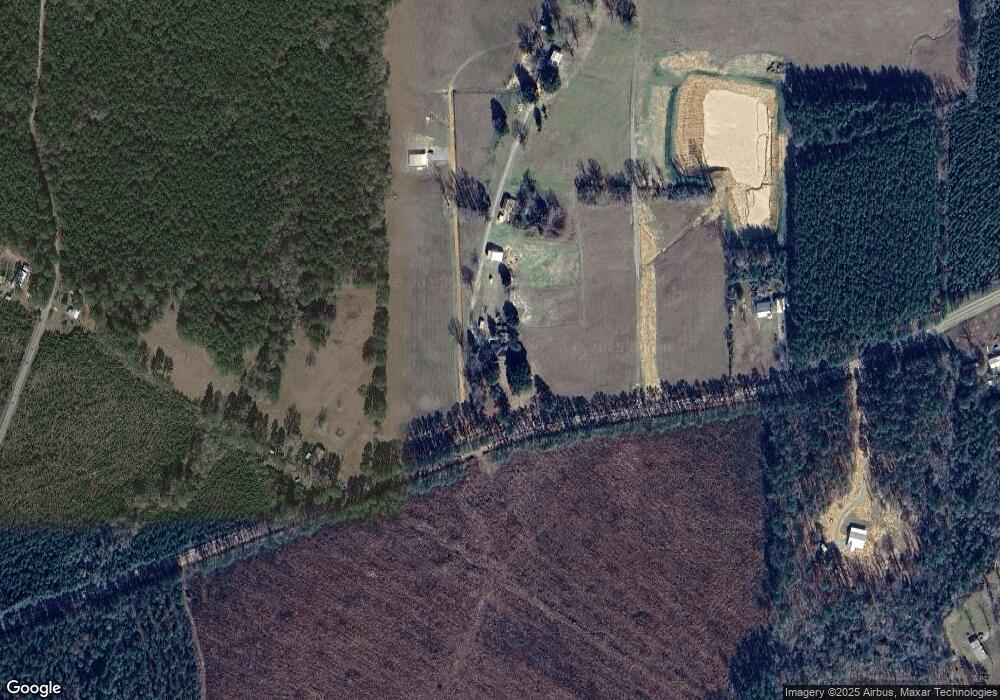
Map
Nearby Homes
- 349 Harper Rd
- 34 E River Rd
- 69 Sugartown Rd
- 0 Hwy 1199 None
- 681 Louisiana 1199
- 2740 Louisiana 121
- 49 Powell Rd
- 146 Ingalls Rd
- 124 Bennett Rd
- 425 Cutts Rd
- 290 Cutts Rd
- TBD 25 acres Tatoo Rd
- TBD-11 acres Tatoo Rd
- 36 Elzie Johnson Rd
- 0 Sunset Unit 2509045
- 11120 W Hwy 28
- 11132 Highway 28 West Hwy
- Lot 5 Avon Willis Rd
- Lot 4 Avon Willis Rd
- TBD - LOT 6 28 Hwy W
- 542 Louisiana 463
- 584 Highway 463
- 444 Highway 463
- 482 Highway 463
- 500 Chester Merchant Rd
- 18 Affaman Cutoff Rd
- 53 Affaman Cutoff Rd
- 490 Hwy 463
- 431 Highway 463
- 427 Highway 463
- 55 Affaman Cutoff Rd
- 59 Affaman Cutoff Rd
- 423 Highway 463
- 423 Highway 463
- 228 Highway 463
- 228 Highway 463
- 25 Jessie Farmer Rd
- 73 Affaman Cutoff Rd
- 110 Affaman Cutoff Rd
- 87 Affaman Cutoff Rd