Estimated Value: $518,000 - $565,000
3
Beds
2
Baths
1,508
Sq Ft
$363/Sq Ft
Est. Value
About This Home
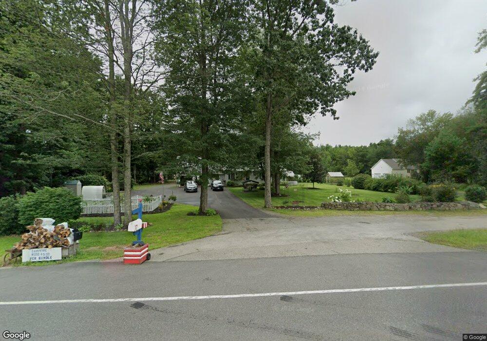
This home is located at 542 Littlefield Rd, Wells, ME 04090 and is currently estimated at $547,246, approximately $362 per square foot. 542 Littlefield Rd is a home located in York County with nearby schools including Wells Junior High School, Wells Elementary School, and Wells High School.
Ownership History
Date
Name
Owned For
Owner Type
Purchase Details
Closed on
Feb 17, 2005
Sold by
Eder Frederick F and Eder Darilyn L
Bought by
Levesque Michael
Current Estimated Value
Home Financials for this Owner
Home Financials are based on the most recent Mortgage that was taken out on this home.
Original Mortgage
$45,000
Outstanding Balance
$22,918
Interest Rate
5.78%
Mortgage Type
Purchase Money Mortgage
Estimated Equity
$524,328
Create a Home Valuation Report for This Property
The Home Valuation Report is an in-depth analysis detailing your home's value as well as a comparison with similar homes in the area
Home Values in the Area
Average Home Value in this Area
Purchase History
| Date | Buyer | Sale Price | Title Company |
|---|---|---|---|
| Levesque Michael | $225,000 | -- |
Source: Public Records
Mortgage History
| Date | Status | Borrower | Loan Amount |
|---|---|---|---|
| Open | Levesque Michael | $45,000 |
Source: Public Records
Tax History Compared to Growth
Tax History
| Year | Tax Paid | Tax Assessment Tax Assessment Total Assessment is a certain percentage of the fair market value that is determined by local assessors to be the total taxable value of land and additions on the property. | Land | Improvement |
|---|---|---|---|---|
| 2024 | $2,803 | $461,080 | $117,510 | $343,570 |
| 2023 | $2,748 | $461,080 | $117,510 | $343,570 |
| 2022 | $2,358 | $225,420 | $53,260 | $172,160 |
| 2021 | $2,371 | $225,420 | $50,530 | $174,890 |
| 2020 | $2,341 | $223,420 | $53,260 | $170,160 |
| 2019 | $2,328 | $223,420 | $53,260 | $170,160 |
| 2018 | $2,197 | $212,920 | $53,260 | $159,660 |
| 2017 | $2,163 | $212,920 | $53,260 | $159,660 |
| 2016 | $2,142 | $212,920 | $53,260 | $159,660 |
| 2015 | $2,119 | $212,920 | $53,260 | $159,660 |
| 2013 | $1,942 | $212,920 | $53,260 | $159,660 |
Source: Public Records
Map
Nearby Homes
- 94 Pine Ledge Dr
- 381 Littlefield Rd
- 231 Littlefield Rd Unit 1
- 29 Simpson St
- 620 Post Rd Unit 20
- 562 Post Rd
- 46 Buffum Hill Rd
- 454 Post Rd Unit 305
- 430 Post Rd Unit 320
- 430 Post Rd Unit 181
- 430 Post Rd Unit 98
- 430 Post Rd Unit 130
- 430 Post Rd Unit 256
- 430 Post Rd Unit 325
- 430 Post Rd Unit 177
- 430 Post Rd Unit 184
- 430 Post Rd Unit 186
- 430 Post Rd Unit 55
- 430 Post Rd Unit 277
- 430 Post Rd Unit 323
- 524 Littlefield Rd
- 35 Abenaki Trail
- 529 Littlefield Rd
- 514 Littlefield Rd
- 558 Littlefield Rd
- 82 Abenaki Trail
- 0 Littlefield Rd
- 0 Littlefield Rd Unit 1561814
- 0 Littlefield Rd Unit 858278
- 0 Littlefield Rd Unit 732323
- 0 Littlefield Rd Unit 714448
- 0 Littlefield Rd Unit 411795
- 0 Littlefield Rd Unit 343625
- 0 Littlefield Rd Unit 844598
- 0 Littlefield Rd Unit 4071341
- 0 Littlefield Rd Unit 751863
- 0 Littlefield Rd Unit 751856
- 0 Littlefield Rd Unit 533187
- 0 Littlefield Rd Unit 930402
- 0 Littlefield Rd Unit 942437