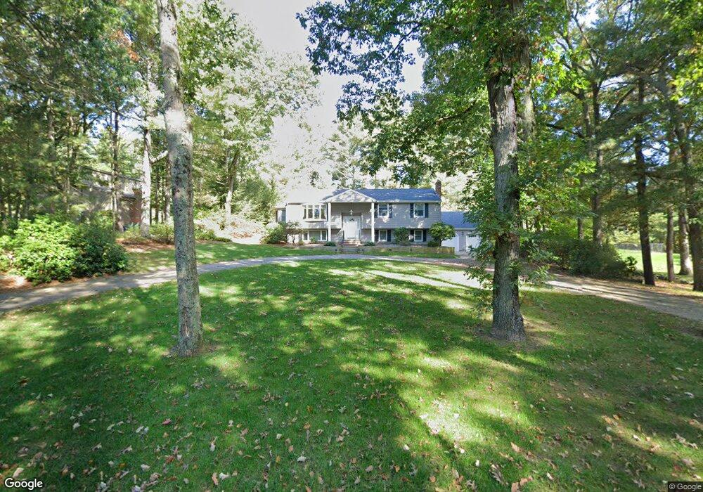
542 Maple St Mansfield, MA 02048
Estimated Value: $681,000 - $772,000
3
Beds
3
Baths
1,593
Sq Ft
$462/Sq Ft
Est. Value
About This Home
This home is located at 542 Maple St, Mansfield, MA 02048 and is currently estimated at $735,572, approximately $461 per square foot. 542 Maple St is a home located in Bristol County with nearby schools including Jordan/Jackson Elementary School, Everett W. Robinson Elementary School, and Harold L. Qualters Middle School.
Create a Home Valuation Report for This Property
The Home Valuation Report is an in-depth analysis detailing your home's value as well as a comparison with similar homes in the area
Home Values in the Area
Average Home Value in this Area
Tax History
| Year | Tax Paid | Tax Assessment Tax Assessment Total Assessment is a certain percentage of the fair market value that is determined by local assessors to be the total taxable value of land and additions on the property. | Land | Improvement |
|---|---|---|---|---|
| 2025 | $8,730 | $662,900 | $241,800 | $421,100 |
| 2024 | $8,151 | $603,800 | $241,800 | $362,000 |
| 2023 | $7,892 | $560,100 | $241,800 | $318,300 |
| 2022 | $7,638 | $503,500 | $223,800 | $279,700 |
| 2021 | $3,025 | $477,100 | $195,900 | $281,200 |
| 2020 | $7,294 | $474,900 | $186,600 | $288,300 |
| 2019 | $6,752 | $443,600 | $155,400 | $288,200 |
| 2018 | $2,709 | $415,300 | $148,200 | $267,100 |
| 2017 | $6,245 | $415,800 | $144,000 | $271,800 |
| 2016 | $6,193 | $401,900 | $137,100 | $264,800 |
| 2015 | $5,684 | $366,700 | $137,100 | $229,600 |
Source: Public Records
Map
Nearby Homes
- 261 East St
- 26 Fredric Ln
- 4 Erick Rd Unit 90
- 631 East St Unit L101
- 9 Independence Dr Unit 9
- 619 N Main St
- 132 Cannon Forge Dr
- 25 Kingman Ave
- 46 Hope St
- 122 Samoset Ave
- 81 Chilson Ave
- 22 Pleasant St Unit B
- 266 N Main St Unit 3
- 97 East St
- 28 Court St
- 150 Rumford Ave Unit 110
- 44 Fairfield Park Unit 44
- 15 Coach Rd
- 34 Kevins Way
- 166 Chauncy St
Your Personal Tour Guide
Ask me questions while you tour the home.