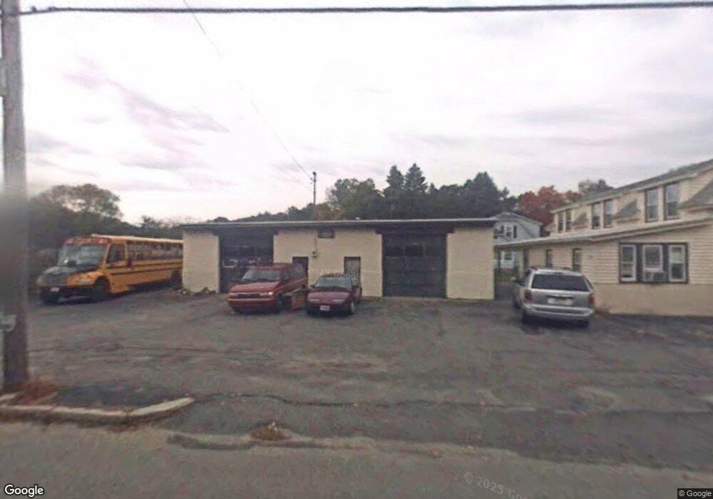
542 Merrimack St Methuen, MA 01844
The North End NeighborhoodEstimated Value: $603,000 - $706,000
5
Beds
1
Bath
2,676
Sq Ft
$246/Sq Ft
Est. Value
About This Home
This home is located at 542 Merrimack St, Methuen, MA 01844 and is currently estimated at $658,027, approximately $245 per square foot. 542 Merrimack St is a home located in Essex County with nearby schools including Methuen High School, Community Day Charter Public School - Gateway, and Silver Hill Elementary School.
Ownership History
Date
Name
Owned For
Owner Type
Purchase Details
Closed on
Mar 22, 2018
Sold by
Couture Alan A Est and Couture
Bought by
Couture Jennifer K and Couture William A
Current Estimated Value
Purchase Details
Closed on
Oct 13, 2016
Sold by
Couture Henry L and Couture Wayne D
Bought by
Couture Johnboy
Purchase Details
Closed on
Apr 28, 2016
Sold by
Couture Wayne D and Couture Linda M
Bought by
Couture Johnboy
Create a Home Valuation Report for This Property
The Home Valuation Report is an in-depth analysis detailing your home's value as well as a comparison with similar homes in the area
Home Values in the Area
Average Home Value in this Area
Purchase History
| Date | Buyer | Sale Price | Title Company |
|---|---|---|---|
| Couture Jennifer K | -- | -- | |
| Couture Johnboy | -- | -- | |
| Couture Johnboy | -- | -- | |
| Couture Jennifer K | -- | -- | |
| Couture Jennifer K | -- | -- | |
| Couture Johnboy | -- | -- | |
| Couture Johnboy | -- | -- | |
| Couture Johnboy | -- | -- | |
| Couture Johnboy | -- | -- | |
| Couture Johnboy | -- | -- | |
| Couture Johnboy | -- | -- |
Source: Public Records
Mortgage History
| Date | Status | Borrower | Loan Amount |
|---|---|---|---|
| Previous Owner | Couture Johnboy | $19,000 |
Source: Public Records
Tax History Compared to Growth
Tax History
| Year | Tax Paid | Tax Assessment Tax Assessment Total Assessment is a certain percentage of the fair market value that is determined by local assessors to be the total taxable value of land and additions on the property. | Land | Improvement |
|---|---|---|---|---|
| 2025 | $5,286 | $499,600 | $207,400 | $292,200 |
| 2024 | $5,220 | $480,700 | $188,500 | $292,200 |
| 2023 | $4,941 | $422,300 | $164,900 | $257,400 |
| 2022 | $4,821 | $369,400 | $141,400 | $228,000 |
| 2021 | $4,536 | $343,900 | $133,500 | $210,400 |
| 2020 | $4,504 | $335,100 | $133,500 | $201,600 |
| 2019 | $4,227 | $297,900 | $125,700 | $172,200 |
| 2018 | $4,021 | $281,800 | $117,800 | $164,000 |
| 2017 | $3,768 | $257,200 | $110,000 | $147,200 |
| 2016 | $3,692 | $249,300 | $102,100 | $147,200 |
| 2015 | $3,244 | $222,200 | $84,800 | $137,400 |
Source: Public Records
Map
Nearby Homes
- 3 Webster Ave
- 15 Enfield Ave
- 46 Oneida St
- 4 Natasha Cir
- 17 Scotland Heights Rd
- 1376 River St Unit 1
- 7 Sequoia Dr Unit 7
- 17 Ferry Rd
- 95 Pilgrim Cir Unit 95
- 3 Michael Anthony Rd
- 331 Merrimack St
- 23 Constitution Way Unit 23
- 23 Constitution Way
- 18 Maple Ridge Rd
- 70 Birch Ave
- 10 Albermarle St
- 70 Phoebe St Unit 86
- 66 Newbury Ave
- 46 Gaston St
- 128 Pleasant Valley St
- 3 Brookdale Ave
- 540 Merrimack St
- 2 Brookdale Ave
- 5 Brookdale Ave
- 538 Merrimack St
- 4 Brookdale Ave
- 548 Merrimack St
- 1 Esmond Ave
- 7 Whittier St
- 550 Merrimack St
- 536 Merrimack St
- 11 Whittier St
- 15 Whittier St
- 558 Merrimack St
- 4 Whittier St
- 8 Whittier St
- 2 Esmond Ave
- 534 Merrimack St
- 5 Renfrew St
- 9 Renfrew St