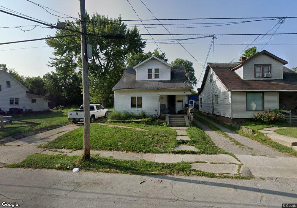
542 Michael Ave Lima, OH 45804
Fifth Ward NeighborhoodEstimated Value: $72,000 - $91,000
5
Beds
2
Baths
1,408
Sq Ft
$57/Sq Ft
Est. Value
About This Home
This home is located at 542 Michael Ave, Lima, OH 45804 and is currently estimated at $80,021, approximately $56 per square foot. 542 Michael Ave is a home located in Allen County with nearby schools including Freedom Elementary School, Lima North Middle School, and Lima West Middle School.
Ownership History
Date
Name
Owned For
Owner Type
Purchase Details
Closed on
Nov 14, 2012
Sold by
Knuckles Arthur L and Knukcles Dorothy
Bought by
Clt Property Management Inc
Current Estimated Value
Purchase Details
Closed on
May 7, 2012
Sold by
Longfellow Shirley J and Crumrine Shirley J
Bought by
Knuckles Arthur L and Knuckles Dorothy
Purchase Details
Closed on
Apr 4, 2011
Sold by
Rader Jay A and Rader Stephen E
Bought by
Longfellow Shirley J
Purchase Details
Closed on
Apr 1, 1982
Bought by
Rader Everette A
Create a Home Valuation Report for This Property
The Home Valuation Report is an in-depth analysis detailing your home's value as well as a comparison with similar homes in the area
Home Values in the Area
Average Home Value in this Area
Purchase History
| Date | Buyer | Sale Price | Title Company |
|---|---|---|---|
| Clt Property Management Inc | $500 | None Available | |
| Knuckles Arthur L | $12,000 | Attorney | |
| Longfellow Shirley J | $15,000 | Attorney | |
| Rader Everette A | -- | -- |
Source: Public Records
Tax History
| Year | Tax Paid | Tax Assessment Tax Assessment Total Assessment is a certain percentage of the fair market value that is determined by local assessors to be the total taxable value of land and additions on the property. | Land | Improvement |
|---|---|---|---|---|
| 2024 | $873 | $8,440 | $1,300 | $7,140 |
| 2023 | $542 | $8,020 | $1,230 | $6,790 |
| 2022 | $491 | $8,020 | $1,230 | $6,790 |
| 2021 | $410 | $8,020 | $1,230 | $6,790 |
| 2020 | $421 | $7,350 | $1,190 | $6,160 |
| 2019 | $421 | $7,350 | $1,190 | $6,160 |
| 2018 | $419 | $7,350 | $1,190 | $6,160 |
| 2017 | $422 | $7,350 | $1,190 | $6,160 |
| 2016 | $428 | $7,350 | $1,190 | $6,160 |
| 2015 | $512 | $7,350 | $1,190 | $6,160 |
| 2014 | $512 | $7,910 | $1,260 | $6,650 |
| 2013 | $450 | $7,910 | $1,260 | $6,650 |
Source: Public Records
Map
Nearby Homes
- 0 E Vine St
- 818 Madison Ave
- 725 E Vine St
- 801 E Vine St
- 812 E Vine St
- 544 S Pine St
- 915 Michael Ave
- 706 E Kibby St
- 717 E Kibby St
- 815 Catalpa Ave
- 653 S Scott St
- 1125 S Sugar St
- 546 Orena Ave
- 1147 S Union St
- 520 Orena Ave
- 629 Harrison Ave
- 621 Prospect Ave
- 471 Mc Pheron Ave
- 639 E 4th St
- 1189 S Main St
- 540 Michael Ave
- 560 Michael Ave
- 606 Michael Ave
- 538 Michael Ave
- 534 Michael Ave
- 608 Michael Ave
- 804 Florence Ave
- 532 Michael Ave
- 545 Michael Ave
- 601 Michael Ave
- 609 Michael Ave
- 531 Michael Ave
- 611 Michael Ave
- 510 Michael Ave
- 700 Michael Ave
- 617 Michael Ave
- 950 Madison Ave
- 951 Madison Ave
- 529 Michael Ave
- 702 Michael Ave
Your Personal Tour Guide
Ask me questions while you tour the home.