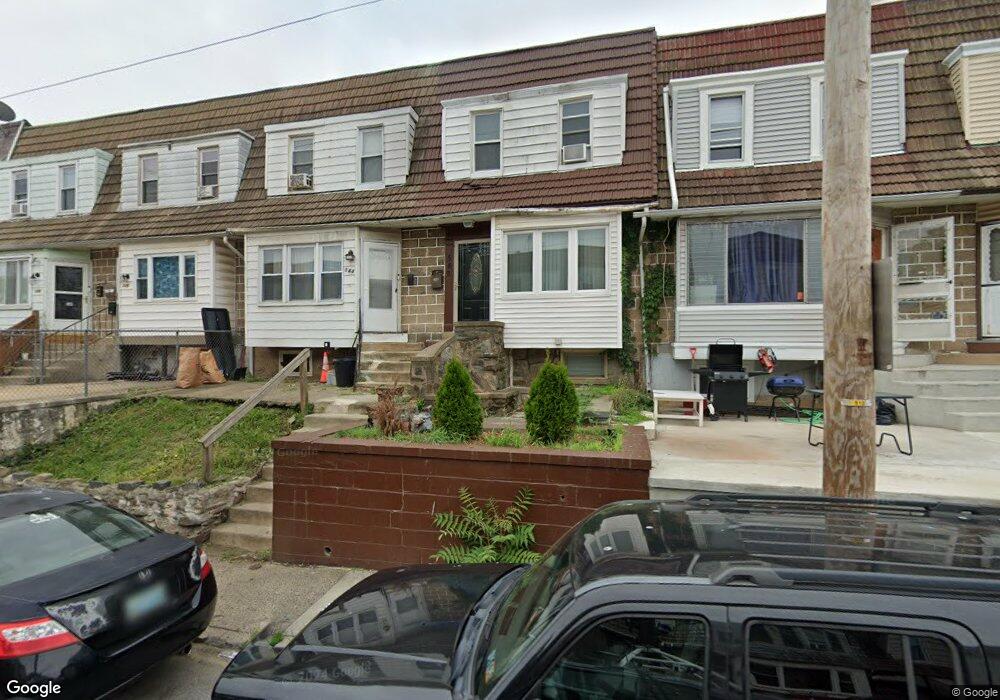
542 Millbank Rd Upper Darby, PA 19082
Estimated Value: $125,000 - $185,000
3
Beds
1
Bath
1,094
Sq Ft
$136/Sq Ft
Est. Value
About This Home
This home is located at 542 Millbank Rd, Upper Darby, PA 19082 and is currently estimated at $149,197, approximately $136 per square foot. 542 Millbank Rd is a home located in Delaware County with nearby schools including Upper Darby Kdg Center, Upper Darby High School, and Philadelphia Christian Academy.
Ownership History
Date
Name
Owned For
Owner Type
Purchase Details
Closed on
May 20, 2005
Sold by
Mount Patricia and Mccarthy Joseph
Bought by
Huckoby Leon D
Current Estimated Value
Home Financials for this Owner
Home Financials are based on the most recent Mortgage that was taken out on this home.
Original Mortgage
$70,000
Outstanding Balance
$45,007
Interest Rate
9.72%
Mortgage Type
Fannie Mae Freddie Mac
Estimated Equity
$104,190
Create a Home Valuation Report for This Property
The Home Valuation Report is an in-depth analysis detailing your home's value as well as a comparison with similar homes in the area
Home Values in the Area
Average Home Value in this Area
Purchase History
| Date | Buyer | Sale Price | Title Company |
|---|---|---|---|
| Huckoby Leon D | $70,000 | American Abstract & Search I |
Source: Public Records
Mortgage History
| Date | Status | Borrower | Loan Amount |
|---|---|---|---|
| Open | Huckoby Leon D | $70,000 |
Source: Public Records
Tax History Compared to Growth
Tax History
| Year | Tax Paid | Tax Assessment Tax Assessment Total Assessment is a certain percentage of the fair market value that is determined by local assessors to be the total taxable value of land and additions on the property. | Land | Improvement |
|---|---|---|---|---|
| 2025 | $2,838 | $67,100 | $13,610 | $53,490 |
| 2024 | $2,838 | $67,100 | $13,610 | $53,490 |
| 2023 | $2,811 | $67,100 | $13,610 | $53,490 |
| 2022 | $2,735 | $67,100 | $13,610 | $53,490 |
| 2021 | $3,688 | $67,100 | $13,610 | $53,490 |
| 2020 | $2,947 | $45,560 | $12,370 | $33,190 |
| 2019 | $2,895 | $45,560 | $12,370 | $33,190 |
| 2018 | $2,862 | $45,560 | $0 | $0 |
| 2017 | $2,788 | $45,560 | $0 | $0 |
| 2016 | $250 | $45,560 | $0 | $0 |
| 2015 | $250 | $45,560 | $0 | $0 |
| 2014 | $250 | $45,560 | $0 | $0 |
Source: Public Records
Map
Nearby Homes
- 424 Woodcliffe Rd
- 504 Woodcliffe Rd
- 506 Hampden Rd
- 513 Woodcliffe Rd
- 418 Hampden Rd
- 535 Glendale Rd
- 414 Glendale Rd
- 346 Long Ln
- 432 Grace Rd
- 558 Snowden Rd
- 607 Littlecroft Rd
- 7114 Locust St
- 351 Long Ln
- 517 Wiltshire Rd
- 404 Croyden Rd
- 268 Hampden Rd
- 669 Long Ln
- 7249 Guilford Rd
- 7155 Radbourne Rd
- 7216 Clinton Rd
- 243 Maypole Rd
- 544 Millbank Rd
- 546 Millbank Rd
- 548 Millbank Rd
- 540 Millbank Rd
- 245 Maypole Rd
- 550 Millbank Rd
- 538 Millbank Rd
- 564 Millbank Rd
- 536 Millbank Rd
- 534 Millbank Rd
- 532 Millbank Rd
- 530 Millbank Rd
- 528 Millbank Rd
- 526 Millbank Rd
- 524 Millbank Rd
- 522 Millbank Rd
- 520 Millbank Rd
- 518 Millbank Rd
- 516 Millbank Rd