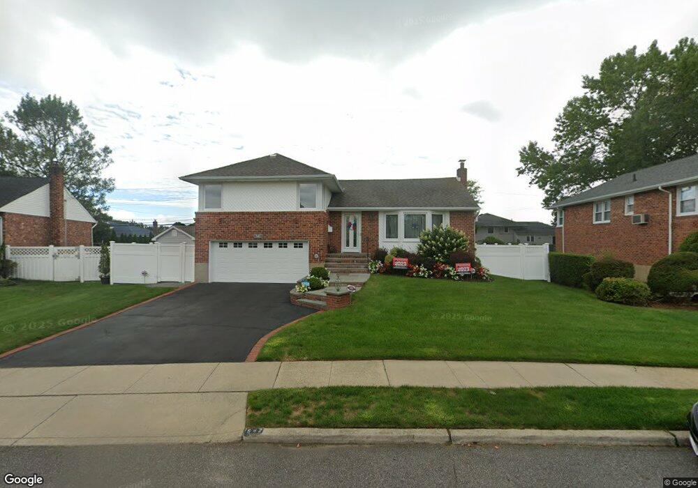
542 N Suffolk Ave Massapequa, NY 11758
Estimated Value: $748,160 - $756,000
--
Bed
2
Baths
1,479
Sq Ft
$509/Sq Ft
Est. Value
About This Home
This home is located at 542 N Suffolk Ave, Massapequa, NY 11758 and is currently estimated at $752,080, approximately $508 per square foot. 542 N Suffolk Ave is a home located in Nassau County with nearby schools including Charles E. Schwarting School, Plainedge Middle School, and Plainedge Senior High School.
Ownership History
Date
Name
Owned For
Owner Type
Purchase Details
Closed on
Oct 24, 2019
Sold by
Kersch Scott M and Kersch Carolyn D
Bought by
Kersch Carolyn D
Current Estimated Value
Purchase Details
Closed on
Feb 18, 2009
Sold by
Kersch Scott and Schwarz Carolyn
Bought by
Kersch Carolyn M and Kersch Carolyn D
Purchase Details
Closed on
May 2, 2006
Sold by
Schwartzman Kenneth
Bought by
Kersch Scott
Create a Home Valuation Report for This Property
The Home Valuation Report is an in-depth analysis detailing your home's value as well as a comparison with similar homes in the area
Home Values in the Area
Average Home Value in this Area
Purchase History
| Date | Buyer | Sale Price | Title Company |
|---|---|---|---|
| Kersch Carolyn D | -- | Judicial Title | |
| Kersch Carolyn M | -- | None Available | |
| Kersch Scott | $509,600 | -- |
Source: Public Records
Tax History Compared to Growth
Tax History
| Year | Tax Paid | Tax Assessment Tax Assessment Total Assessment is a certain percentage of the fair market value that is determined by local assessors to be the total taxable value of land and additions on the property. | Land | Improvement |
|---|---|---|---|---|
| 2025 | $16,074 | $500 | $233 | $267 |
| 2024 | $4,597 | $512 | $238 | $274 |
| 2023 | $13,581 | $538 | $250 | $288 |
| 2022 | $13,581 | $546 | $254 | $292 |
| 2021 | $13,207 | $556 | $259 | $297 |
| 2020 | $13,378 | $619 | $528 | $91 |
| 2019 | $11,723 | $663 | $530 | $133 |
| 2018 | $11,759 | $708 | $0 | $0 |
| 2017 | $8,158 | $750 | $506 | $244 |
| 2016 | $12,088 | $750 | $481 | $269 |
| 2015 | $3,825 | $839 | $538 | $301 |
| 2014 | $3,825 | $839 | $538 | $301 |
| 2013 | $3,668 | $883 | $566 | $317 |
Source: Public Records
Map
Nearby Homes
- 254 N Richmond Ave
- 282 N Oak St
- 530 N Hawthorne St
- 530 N Oak St
- 101 Toronto Ave
- 558 N Hawthorne St
- 121 Ontario Ave
- 76 Hamilton Ave
- 598 N Suffolk Ave
- 203 N Manhattan Ave
- 255 N Chestnut St
- 344 N Hickory St
- 7 Crocus Dr
- 227 N Walnut St
- 128 Massachusetts Ave
- 163 Massachusetts Ave
- 73 Massachusetts Ave
- 174 N Nassau Ave
- 102 Boston Ave
- 4057 Eve Dr
- 544 N Suffolk Ave
- 540 N Suffolk Ave
- 289 N Richmond Ave
- 285 N Richmond Ave
- 293 N Richmond Ave
- 546 N Suffolk Ave
- 545 N Suffolk Ave
- 547 N Suffolk Ave
- 281 N Richmond Ave
- 5 Rosewood Dr
- 297 N Richmond Ave
- 3 Rosewood Dr
- 548 N Suffolk Ave
- 543 N Suffolk Ave
- 1 Rosewood Dr
- 301 N Richmond Ave
- 215 Normandy Rd
- 549 N Suffolk Ave
- 286 N Richmond Ave
- 290 N Richmond Ave