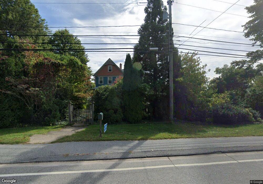
542 Noank Rd Mystic, CT 06355
West Mystic NeighborhoodEstimated Value: $728,000 - $932,000
3
Beds
3
Baths
2,636
Sq Ft
$331/Sq Ft
Est. Value
About This Home
This home is located at 542 Noank Rd, Mystic, CT 06355 and is currently estimated at $872,955, approximately $331 per square foot. 542 Noank Rd is a home located in New London County with nearby schools including Groton Middle School and Robert E. Fitch High School.
Ownership History
Date
Name
Owned For
Owner Type
Purchase Details
Closed on
Jun 1, 1992
Sold by
White Paul
Bought by
Nolan Charles and Barbero Linda
Current Estimated Value
Create a Home Valuation Report for This Property
The Home Valuation Report is an in-depth analysis detailing your home's value as well as a comparison with similar homes in the area
Home Values in the Area
Average Home Value in this Area
Purchase History
| Date | Buyer | Sale Price | Title Company |
|---|---|---|---|
| Nolan Charles | $270,000 | -- |
Source: Public Records
Mortgage History
| Date | Status | Borrower | Loan Amount |
|---|---|---|---|
| Open | Nolan Charles | $200,000 | |
| Closed | Nolan Charles | $221,000 | |
| Closed | Nolan Charles | $115,000 | |
| Closed | Nolan Charles | $34,000 |
Source: Public Records
Tax History Compared to Growth
Tax History
| Year | Tax Paid | Tax Assessment Tax Assessment Total Assessment is a certain percentage of the fair market value that is determined by local assessors to be the total taxable value of land and additions on the property. | Land | Improvement |
|---|---|---|---|---|
| 2025 | $11,661 | $428,400 | $245,042 | $183,358 |
| 2024 | $10,833 | $428,400 | $245,042 | $183,358 |
| 2023 | $10,413 | $428,400 | $166,460 | $261,940 |
| 2022 | $10,185 | $428,400 | $166,460 | $261,940 |
| 2021 | $9,059 | $321,580 | $133,770 | $187,810 |
| 2020 | $8,985 | $321,580 | $133,770 | $187,810 |
| 2019 | $8,596 | $321,580 | $133,770 | $187,810 |
| 2018 | $8,493 | $321,580 | $133,770 | $187,810 |
| 2017 | $8,335 | $321,580 | $133,770 | $187,810 |
| 2016 | $8,145 | $338,800 | $167,720 | $171,080 |
| 2015 | $7,874 | $338,800 | $167,720 | $171,080 |
| 2014 | $7,687 | $338,800 | $167,720 | $171,080 |
Source: Public Records
Map
Nearby Homes
- 255 Capstan Ave
- 19 Ashby St
- 1 Egret Rd
- 17 Water St Unit A-10
- 190 Library St
- 60 Willow St Unit 305
- 60 Willow St Unit 205
- 80 Farmstead Ave
- 3 Water St Unit 305
- 44 Brook St
- 28 Money Point Rd
- 22 W Main St Unit 11
- 7 Gravel St Unit 1
- 27 Church St
- 32 E Main St
- 245 High St
- 15 Elm St
- 17 Roosevelt Ave
- 16 Prospect Hill Rd
- 8 Pearl St