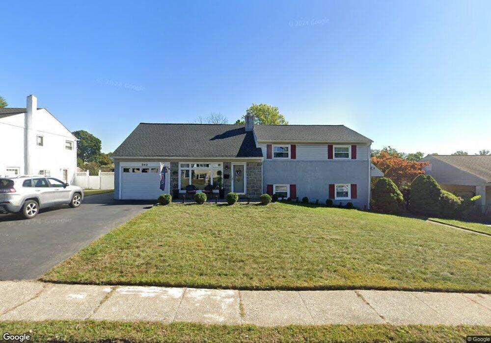
542 Prince Frederick St King of Prussia, PA 19406
Estimated Value: $541,000 - $595,000
5
Beds
3
Baths
2,995
Sq Ft
$190/Sq Ft
Est. Value
About This Home
This home is located at 542 Prince Frederick St, King of Prussia, PA 19406 and is currently estimated at $568,252, approximately $189 per square foot. 542 Prince Frederick St is a home located in Montgomery County with nearby schools including Caley Elementary School, Upper Merion Middle School, and Upper Merion High School.
Ownership History
Date
Name
Owned For
Owner Type
Purchase Details
Closed on
Mar 11, 2010
Sold by
Wolfe Roy P
Bought by
Mccabe Marcy and Mccabe James J
Current Estimated Value
Home Financials for this Owner
Home Financials are based on the most recent Mortgage that was taken out on this home.
Original Mortgage
$306,000
Outstanding Balance
$204,224
Interest Rate
5.12%
Estimated Equity
$364,028
Create a Home Valuation Report for This Property
The Home Valuation Report is an in-depth analysis detailing your home's value as well as a comparison with similar homes in the area
Home Values in the Area
Average Home Value in this Area
Purchase History
| Date | Buyer | Sale Price | Title Company |
|---|---|---|---|
| Mccabe Marcy | $382,500 | None Available |
Source: Public Records
Mortgage History
| Date | Status | Borrower | Loan Amount |
|---|---|---|---|
| Open | Mccabe Marcy | $306,000 |
Source: Public Records
Tax History Compared to Growth
Tax History
| Year | Tax Paid | Tax Assessment Tax Assessment Total Assessment is a certain percentage of the fair market value that is determined by local assessors to be the total taxable value of land and additions on the property. | Land | Improvement |
|---|---|---|---|---|
| 2025 | $5,159 | $167,410 | $54,520 | $112,890 |
| 2024 | $5,159 | $167,410 | $54,520 | $112,890 |
| 2023 | $4,976 | $167,410 | $54,520 | $112,890 |
| 2022 | $4,763 | $167,410 | $54,520 | $112,890 |
| 2021 | $4,616 | $167,410 | $54,520 | $112,890 |
| 2020 | $4,411 | $167,410 | $54,520 | $112,890 |
| 2019 | $4,336 | $167,410 | $54,520 | $112,890 |
| 2018 | $4,335 | $167,410 | $54,520 | $112,890 |
| 2017 | $4,180 | $167,410 | $54,520 | $112,890 |
| 2016 | $4,114 | $167,410 | $54,520 | $112,890 |
| 2015 | $3,963 | $167,410 | $54,520 | $112,890 |
| 2014 | $3,963 | $167,410 | $54,520 | $112,890 |
Source: Public Records
Map
Nearby Homes
- 245 Chapel Ln Unit 80B
- 251 Chapel Ln Unit 83B
- 243 Chapel Ln Unit 79A
- 338 Rees Dr
- 391 Prince Frederick St
- 108 Anderson Rd
- 243 Jasper Rd
- 227 Crossfield Rd
- 709 N Henderson Rd
- 171 Redwood Rd
- 610 Charles Dr
- 735 Champlain Dr
- 603 Nantucket Cir
- 548 Susan Dr
- 625 W Valley Forge Rd
- 348 Glenn Rose Cir
- 413 Brandywine Ln
- 407 Chestnut Way
- 612 Brewster Alley Unit 74
- 501 W Dekalb Pike
- 538 Prince Frederick St
- 546 Prince Frederick St
- 282 Lincoln Rd
- 551 N Prince Frederick St
- 276 Lincoln Rd
- 288 Lincoln Rd
- 534 N Prince Frederick St
- 534 Prince Frederick St
- 550 Prince Frederick St
- 555 Prince Frederick St
- 551 Prince Frederick St
- 559 N Prince Frederick St
- 270 Lincoln Rd Unit 56
- 294 Lincoln Rd
- 559 Prince Frederick St
- 547 Prince Frederick St
- 530 Prince Frederick St
- 530 N Prince Frederick St
- 554 Prince Frederick St
- 543 N Prince Frederick St