542 Raymondskill Rd Milford, PA 18337
Estimated Value: $366,732 - $411,000
3
Beds
2
Baths
1,451
Sq Ft
$268/Sq Ft
Est. Value
About This Home
This home is located at 542 Raymondskill Rd, Milford, PA 18337 and is currently estimated at $388,866, approximately $267 per square foot. 542 Raymondskill Rd is a home located in Pike County with nearby schools including Delaware Valley High School.
Ownership History
Date
Name
Owned For
Owner Type
Purchase Details
Closed on
Mar 24, 2025
Sold by
Sherr Barbara
Bought by
Degroat Vanessa
Current Estimated Value
Purchase Details
Closed on
May 8, 2018
Sold by
Adler Mildred E and Adler Douglas E
Bought by
Dwan Michael and Sherr Barbara
Home Financials for this Owner
Home Financials are based on the most recent Mortgage that was taken out on this home.
Original Mortgage
$165,750
Interest Rate
4.44%
Mortgage Type
New Conventional
Create a Home Valuation Report for This Property
The Home Valuation Report is an in-depth analysis detailing your home's value as well as a comparison with similar homes in the area
Home Values in the Area
Average Home Value in this Area
Purchase History
| Date | Buyer | Sale Price | Title Company |
|---|---|---|---|
| Degroat Vanessa | -- | None Listed On Document | |
| Dwan Michael | $195,000 | Roaring Brook Abstract Co |
Source: Public Records
Mortgage History
| Date | Status | Borrower | Loan Amount |
|---|---|---|---|
| Previous Owner | Dwan Michael | $165,750 |
Source: Public Records
Tax History Compared to Growth
Tax History
| Year | Tax Paid | Tax Assessment Tax Assessment Total Assessment is a certain percentage of the fair market value that is determined by local assessors to be the total taxable value of land and additions on the property. | Land | Improvement |
|---|---|---|---|---|
| 2025 | $4,821 | $31,910 | $2,750 | $29,160 |
| 2024 | $4,821 | $31,910 | $2,750 | $29,160 |
| 2023 | $4,749 | $31,910 | $2,750 | $29,160 |
| 2022 | $4,622 | $31,910 | $2,750 | $29,160 |
| 2021 | $4,574 | $31,910 | $2,750 | $29,160 |
| 2020 | $4,551 | $31,910 | $2,750 | $29,160 |
| 2019 | $4,394 | $31,910 | $2,750 | $29,160 |
| 2018 | $4,394 | $31,910 | $2,750 | $29,160 |
| 2017 | $4,275 | $31,910 | $2,750 | $29,160 |
| 2016 | $0 | $31,910 | $2,750 | $29,160 |
| 2014 | -- | $31,910 | $2,750 | $29,160 |
Source: Public Records
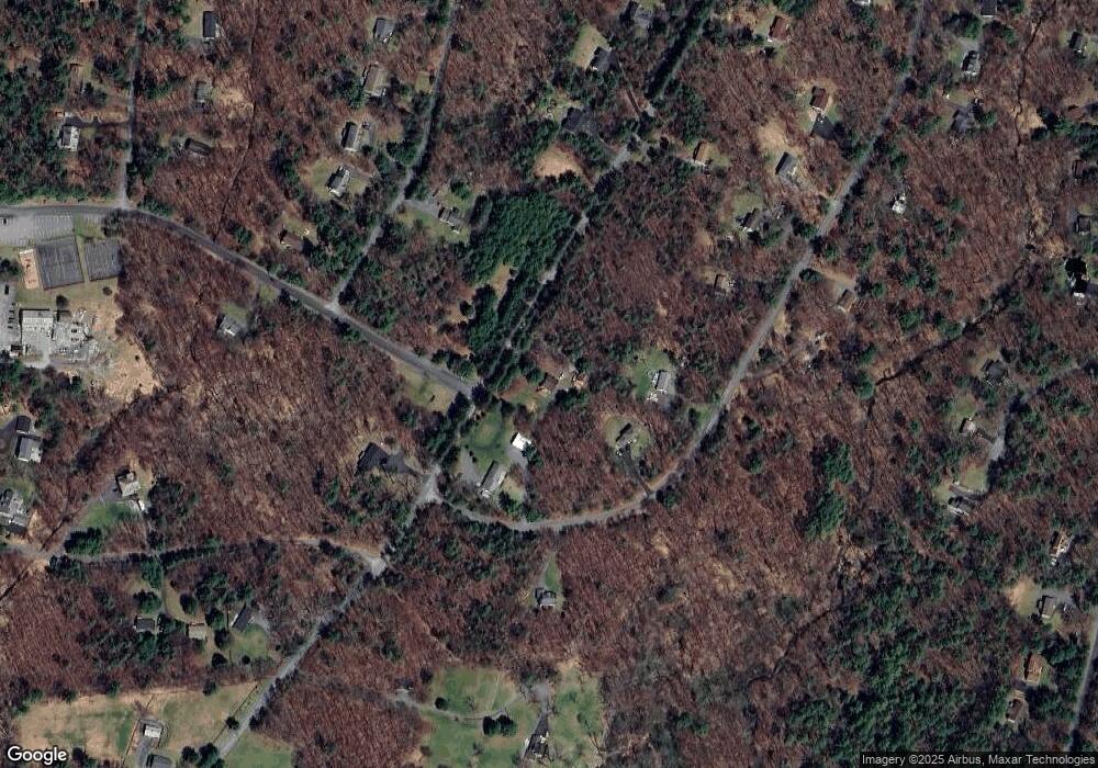
Map
Nearby Homes
- 107 Winterberry Dr
- 180 Chokeberry Dr
- 201 Choke Berry Dr
- 148 Cornelia Ln
- LOT 1167 Crocus Ln
- 0 Hawthorne Dr
- 106 Yellow Wood Dr
- 115 Knob Cone Dr
- 127 E Mulberry Dr
- 110 Knob Cone Dr
- 108 Knob Cone Dr
- 130 Magnolia Ln
- 142 Birch Leaf Dr
- 108 Rhododendron Ln
- 157 E Mulberry Dr
- 0 Cornflower Ln Unit PWBPW233235
- 229 Locust Dr
- Lot 1725 Tan Oak Dr
- Lot 1500 Kunigunde Dr
- 0 Larkspur Ln
- 137 Winterberry Dr
- 548 Raymondskill Rd
- 133 Winterberry Dr
- 101 Sunflower Ct
- 551 Raymondskill Rd
- 146 Winterberry Dr
- 127 Winterberry Dr
- 531 Raymondskill Rd
- 0 Lot 1 Blk 8 Sec 5 Unit 21-4482
- 0 Lot 2 Pedersen Pond Unit 21-3266
- 0 Lot 2209 Iroquois
- 0 Lot 3 Route 6 and 209 Unit 20-1108
- 150 Winterberry Dr
- 125 Winterberry Dr
- Lot 988 Winterberry Dr
- 986 Winterberry Dr
- 529 Raymondskill Rd
- 524 Raymondskill Rd
- 126 Winterberry Dr
- 100 Sunflower Ct