542 Redding Ct The Villages, FL 32163
Estimated Value: $248,413 - $271,000
--
Bed
--
Bath
961
Sq Ft
$270/Sq Ft
Est. Value
About This Home
This home is located at 542 Redding Ct, The Villages, FL 32163 and is currently estimated at $259,353, approximately $269 per square foot. 542 Redding Ct is a home with nearby schools including Wildwood Elementary School and Wildwood Middle/High School.
Ownership History
Date
Name
Owned For
Owner Type
Purchase Details
Closed on
May 8, 2024
Sold by
Roberts George Ann Littlejohn and Roberts Georgeann
Bought by
George Ann Littlejohn Roberts Family Trust and Roberts
Current Estimated Value
Purchase Details
Closed on
Jul 9, 2021
Sold by
The Villages Land Company Llc
Bought by
Roberts John D and Roberts Georgeann
Home Financials for this Owner
Home Financials are based on the most recent Mortgage that was taken out on this home.
Original Mortgage
$45,000
Interest Rate
2.93%
Mortgage Type
New Conventional
Create a Home Valuation Report for This Property
The Home Valuation Report is an in-depth analysis detailing your home's value as well as a comparison with similar homes in the area
Home Values in the Area
Average Home Value in this Area
Purchase History
| Date | Buyer | Sale Price | Title Company |
|---|---|---|---|
| George Ann Littlejohn Roberts Family Trust | $100 | None Listed On Document | |
| Roberts John D | $193,752 | Peninsula Land & Title |
Source: Public Records
Mortgage History
| Date | Status | Borrower | Loan Amount |
|---|---|---|---|
| Previous Owner | Roberts John D | $45,000 |
Source: Public Records
Tax History Compared to Growth
Tax History
| Year | Tax Paid | Tax Assessment Tax Assessment Total Assessment is a certain percentage of the fair market value that is determined by local assessors to be the total taxable value of land and additions on the property. | Land | Improvement |
|---|---|---|---|---|
| 2024 | $3,356 | $184,650 | -- | -- |
| 2023 | $3,356 | $179,280 | $0 | $0 |
| 2022 | $3,300 | $174,060 | $14,080 | $159,980 |
| 2021 | $1,588 | $14,080 | $14,080 | $0 |
Source: Public Records
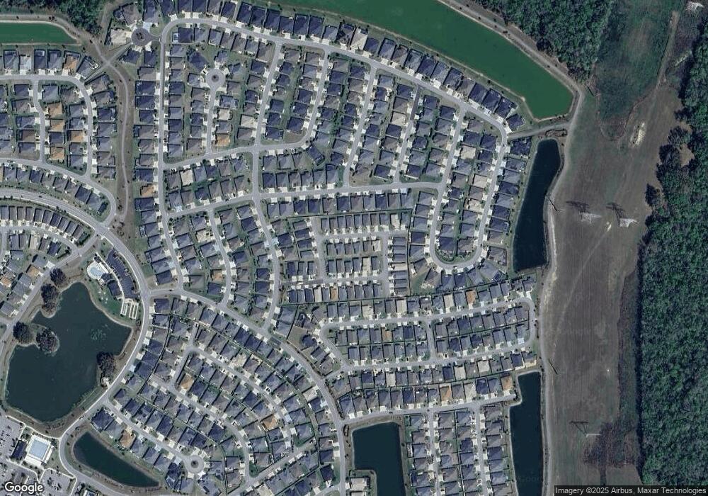
Map
Nearby Homes
- 555 Randall Rd
- 747 Louise Ln
- 578 Kaolin Path
- 5719 Barraw Terrace
- 770 Marilee Place St Unit 36437848
- 770 Marilee Place St Unit 36440940
- 770 Marilee Place St Unit 36433162
- 6126 Mulligan Run
- 904 Maynard Path
- 862 Bowden Rd
- 335 Logan St
- 6222 Dingman Way
- 6223 Atkinson Ln
- 6230 Dingman Way
- 6295 Danielson Loop
- 987 Frederick Terrace
- 448 Sherell St
- 6291 Whittle Ct
- 1125 Maynard Path
- 289 Zingale Ln
- 538 Redding Ct
- 548 Redding Ct
- 552 Redding Ct
- 532 Redding Ct
- 541 Kimberly St
- 537 Kimberly St
- 547 Kimberly St
- 541 Redding Ct
- 545 Redding Ct
- 531 Kimberly St
- 551 Redding Ct
- 551 Kimberly St
- 528 Redding Ct
- 537 Redding Ct
- 533 Redding Ct
- 555 Redding Ct
- 525 Kimberly St
- 527 Redding Ct
- 532 Kimberly St
- 5742 Mann Terrace