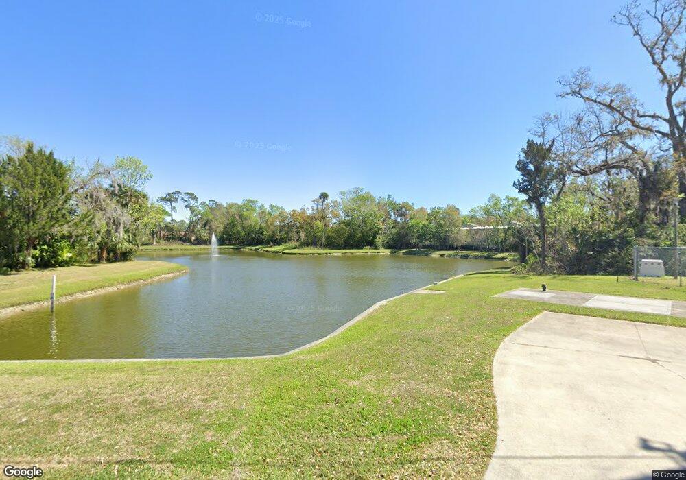
542 Ruth St Port Orange, FL 32127
Estimated Value: $147,000 - $350,728
--
Bed
2
Baths
--
Sq Ft
9,845
Sq Ft Lot
About This Home
This home is located at 542 Ruth St, Port Orange, FL 32127 and is currently estimated at $248,864. 542 Ruth St is a home located in Volusia County with nearby schools including Sugar Mill Elementary School, Silver Sands Middle School, and Spruce Creek High School.
Ownership History
Date
Name
Owned For
Owner Type
Purchase Details
Closed on
Sep 2, 2010
Sold by
Strasser Bernard H and Strasser Irene A
Bought by
City Of Port Orange
Current Estimated Value
Purchase Details
Closed on
Jul 20, 1994
Sold by
Strasser Bernard H and Strasser Irene A
Bought by
Strasser Bernard H
Home Financials for this Owner
Home Financials are based on the most recent Mortgage that was taken out on this home.
Original Mortgage
$72,000
Interest Rate
8.28%
Purchase Details
Closed on
Jun 30, 1993
Sold by
Strasser Bernard H and Strasser Irene A
Bought by
Strasser Barnard H
Purchase Details
Closed on
Dec 15, 1980
Bought by
City Of Port Orange
Create a Home Valuation Report for This Property
The Home Valuation Report is an in-depth analysis detailing your home's value as well as a comparison with similar homes in the area
Home Values in the Area
Average Home Value in this Area
Purchase History
| Date | Buyer | Sale Price | Title Company |
|---|---|---|---|
| City Of Port Orange | $115,000 | Columbia Title Research Corp | |
| Strasser Bernard H | -- | -- | |
| Strasser Barnard H | -- | -- | |
| City Of Port Orange | $4,200 | -- |
Source: Public Records
Mortgage History
| Date | Status | Borrower | Loan Amount |
|---|---|---|---|
| Previous Owner | Strasser Bernard H | $72,000 |
Source: Public Records
Tax History Compared to Growth
Tax History
| Year | Tax Paid | Tax Assessment Tax Assessment Total Assessment is a certain percentage of the fair market value that is determined by local assessors to be the total taxable value of land and additions on the property. | Land | Improvement |
|---|---|---|---|---|
| 2025 | -- | $500 | $500 | -- |
| 2024 | -- | $500 | $500 | -- |
| 2023 | -- | $500 | $500 | $0 |
| 2022 | $0 | $500 | $500 | $0 |
| 2021 | $0 | $500 | $500 | $0 |
| 2020 | $0 | $500 | $500 | $0 |
| 2019 | $0 | $500 | $500 | $0 |
| 2018 | $0 | $500 | $500 | $0 |
| 2017 | $0 | $500 | $500 | $0 |
| 2016 | -- | $500 | $0 | $0 |
| 2015 | -- | $500 | $0 | $0 |
| 2014 | -- | $500 | $0 | $0 |
Source: Public Records
Map
Nearby Homes
- 550 Locust St
- 607 Powers Ave
- 6480 Roseberry Ct
- 406 Oak St
- 412 Virginia Ave
- 312 Dunlawton Ave
- 403 Herbert St
- 532 Lafayette St
- 315 Herbert St
- 525 Monroe St
- 827 Railroad St
- 218 Herbert St
- 310 Legion Place
- 309 Lafayette St
- 700 Herbert St
- 107 Eddy Ln
- 834 Sixth St
- 904 Charles St
- 840 6th St
- 833 McDonald Rd
- 538 Dagwood Cir
- 546 Ruth St
- 548 Ruth St
- 547 Ruth St
- 550 Ruth St
- 4170 Dairy Ct Unit 105
- 4170 Dairy Ct Unit 106
- 4170 Dairy Ct Unit 103
- 551 Ruth St
- 530 Powers Ave
- 526 Powers Ave
- 553 Ruth St
- 535 Locust St
- 524 Powers Ave
- 4184 Dairy Ct Unit C
- 520 Powers Ave
- 513 Avenue
- 612 Ruth St
- 601 Oak St Unit 17E
- 601 Oak St Unit 17 D & E
