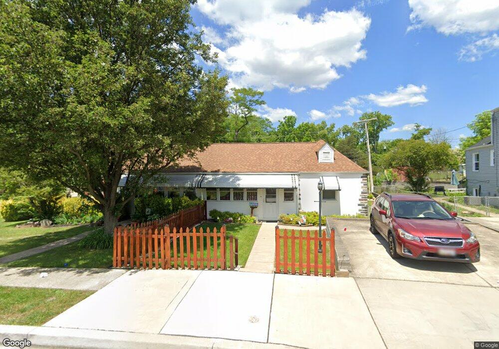
542 Saint Patrick Rd Baltimore, MD 21206
Estimated Value: $174,748 - $208,000
Studio
1
Bath
1,030
Sq Ft
$180/Sq Ft
Est. Value
About This Home
This home is located at 542 Saint Patrick Rd, Baltimore, MD 21206 and is currently estimated at $185,437, approximately $180 per square foot. 542 Saint Patrick Rd is a home located in Baltimore County with nearby schools including Elmwood Elementary School, Parkville Middle & Center of Technology, and Overlea High School.
Ownership History
Date
Name
Owned For
Owner Type
Purchase Details
Closed on
Oct 14, 2024
Sold by
Reithlingshoefer Darlene A
Bought by
Reithlingshoefer Darlene A and Reithlingshoefer Leonard A
Current Estimated Value
Purchase Details
Closed on
May 4, 2011
Sold by
Reithlingshoefer Leonard A
Bought by
Reithlingshoefer Cynthia M
Purchase Details
Closed on
Oct 11, 2010
Sold by
Reithlingshoefer Leonard A
Bought by
Reithlingshoefer Cynthia M
Create a Home Valuation Report for This Property
The Home Valuation Report is an in-depth analysis detailing your home's value as well as a comparison with similar homes in the area
Home Values in the Area
Average Home Value in this Area
Purchase History
| Date | Buyer | Sale Price | Title Company |
|---|---|---|---|
| Reithlingshoefer Darlene A | -- | None Listed On Document | |
| Reithlingshoefer Cynthia M | -- | -- | |
| Reithlingshoefer Cynthia M | -- | -- |
Source: Public Records
Tax History
| Year | Tax Paid | Tax Assessment Tax Assessment Total Assessment is a certain percentage of the fair market value that is determined by local assessors to be the total taxable value of land and additions on the property. | Land | Improvement |
|---|---|---|---|---|
| 2025 | $2,054 | $140,600 | -- | -- |
| 2024 | $2,054 | $132,000 | $0 | $0 |
| 2023 | $999 | $123,400 | $50,000 | $73,400 |
| 2022 | $1,999 | $122,133 | $0 | $0 |
| 2021 | $1,973 | $120,867 | $0 | $0 |
| 2020 | $1,973 | $119,600 | $50,000 | $69,600 |
| 2019 | $2,025 | $117,133 | $0 | $0 |
| 2018 | $1,924 | $114,667 | $0 | $0 |
| 2017 | $1,782 | $112,200 | $0 | $0 |
| 2016 | $1,546 | $112,200 | $0 | $0 |
| 2015 | $1,546 | $112,200 | $0 | $0 |
| 2014 | $1,546 | $118,200 | $0 | $0 |
Source: Public Records
Map
Nearby Homes
- 417 Meadow Rd
- 9 Glenmore Ave
- 6121 Marglenn Ave
- 5944 Clayton Ave
- 5943 Clayton Ave
- 4510 Forest View Ave
- 6809 Linden Ave
- 4422 Forest View Ave
- 7127 Willowdale Ave
- 3 Morning Star Ct
- 5010 Kenwood Ave
- 4412 Springwood Ave
- 4 Elinor Ave
- 5819 Westwood Ave
- 19 Lyndale Ave
- 4416 Fullerton Ave
- 4006 Fleetwood Ave
- 109 Elinor Ave
- 4103 Glenmore Ave
- 7435 Kenlea Ave
- 544 Saint Patrick Rd
- 540 Saint Patrick Rd
- 600 Dale Ave
- 546 Saint Patrick Rd
- 543 Saint Patrick Rd
- 538 Dale Ave
- 602 Dale Ave
- 541 Saint Patrick Rd
- 604 Dale Ave
- 539 Saint Patrick Rd
- 536 Dale Ave
- 606 Dale Ave
- 539 Dale Ave
- 601 Dale Ave
- 541 Dale Ave
- 534 Dale Ave
- 537 Saint Patrick Rd
- 603 Dale Ave
- 537 Dale Ave
- 608 Dale Ave
Your Personal Tour Guide
Ask me questions while you tour the home.