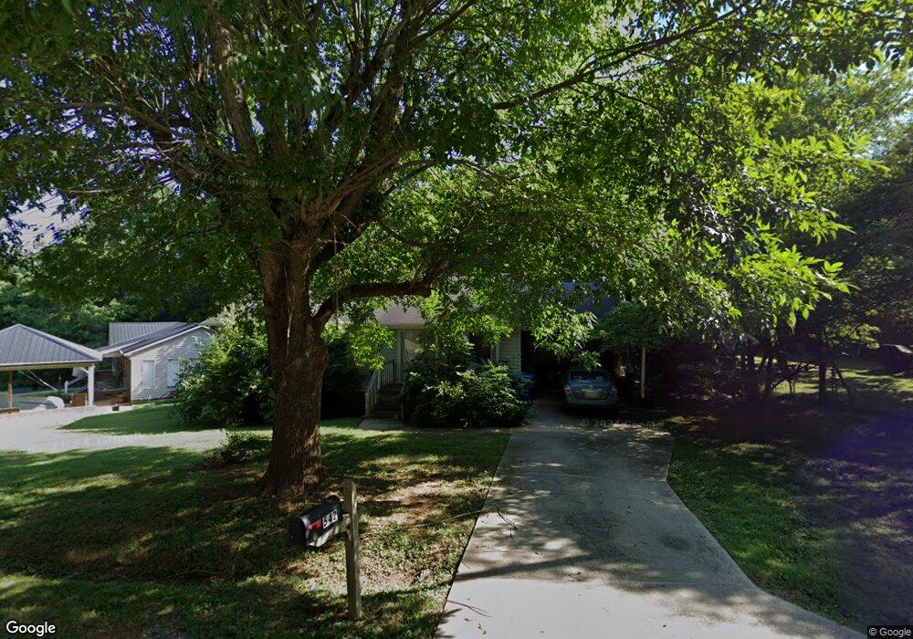
542 Shady Dr Ramseur, NC 27316
Estimated Value: $166,992 - $222,000
--
Bed
2
Baths
1,118
Sq Ft
$181/Sq Ft
Est. Value
About This Home
This home is located at 542 Shady Dr, Ramseur, NC 27316 and is currently estimated at $201,998, approximately $180 per square foot. 542 Shady Dr is a home located in Randolph County with nearby schools including Ramseur Elementary School, Southeastern Randolph Middle School, and Eastern Randolph High School.
Ownership History
Date
Name
Owned For
Owner Type
Purchase Details
Closed on
Apr 17, 1990
Bought by
King Elaine B King Alton Ray
Current Estimated Value
Purchase Details
Closed on
Jan 26, 1990
Bought by
King Elaine B King Alton Ray
Purchase Details
Closed on
Jul 28, 1989
Bought by
King Elaine B King Alton Ray
Create a Home Valuation Report for This Property
The Home Valuation Report is an in-depth analysis detailing your home's value as well as a comparison with similar homes in the area
Home Values in the Area
Average Home Value in this Area
Purchase History
| Date | Buyer | Sale Price | Title Company |
|---|---|---|---|
| King Elaine B King Alton Ray | $8,500 | -- | |
| King Elaine B King Alton Ray | -- | -- | |
| King Elaine B King Alton Ray | $4,000 | -- |
Source: Public Records
Tax History Compared to Growth
Tax History
| Year | Tax Paid | Tax Assessment Tax Assessment Total Assessment is a certain percentage of the fair market value that is determined by local assessors to be the total taxable value of land and additions on the property. | Land | Improvement |
|---|---|---|---|---|
| 2025 | $1,670 | $136,890 | $21,750 | $115,140 |
| 2024 | $1,670 | $136,890 | $21,750 | $115,140 |
| 2023 | $1,602 | $136,890 | $21,750 | $115,140 |
| 2022 | $1,302 | $99,910 | $16,000 | $83,910 |
| 2021 | $1,302 | $99,910 | $16,000 | $83,910 |
| 2020 | $1,302 | $99,910 | $16,000 | $83,910 |
| 2019 | $1,302 | $99,910 | $16,000 | $83,910 |
| 2018 | $1,129 | $85,380 | $9,500 | $75,880 |
| 2016 | $1,129 | $85,375 | $9,500 | $75,875 |
| 2015 | $1,131 | $85,375 | $9,500 | $75,875 |
| 2014 | $1,114 | $85,375 | $9,500 | $75,875 |
Source: Public Records
Map
Nearby Homes
- 321 Coleridge Rd
- 715 Liberty St
- 545 Coleridge Rd
- 507 Columbia Ave
- 1001 Meadowood Dr
- 324 Elam Ave
- 0 State Highway 49
- 4737 Huntingwood Rd
- 4650 Huntingwood Rd
- 4659 Huntingwood Rd
- 2050 Welborn Cir
- 309 Elam Ave
- 7187 Jordan Rd
- 5182 Foushee Rd
- 2110 Newell St
- 5713 Us Highway 64 E
- 518 E Main St
- 0 Mulberry Academy St Unit 1198788
- 4242 Lake Ridge Ct
- 00 Mulberry Academy St
- 544 Shady Dr
- 536 Columbia Ave
- 534 Columbia Ave
- 546 Shady Dr
- 541 Shady Dr
- 532 Columbia Ave
- 538 Columbia Ave
- 543 Shady Dr
- 539 Shady Dr
- 545 Shady Dr
- 530 Columbia Ave
- 547 Shady Dr
- 540 Columbia Ave
- 535 Columbia Ave
- 447 Coleridge Rd
- 550 Shady Dr
- 528 Columbia Ave
- 549 Shady Dr
- 537 Columbia Ave
- 531 Columbia Ave