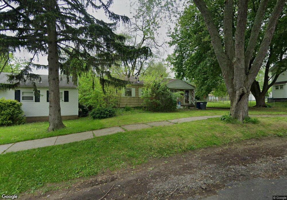
542 Shasta Dr Toledo, OH 43609
Southside NeighborhoodEstimated Value: $79,362 - $86,000
2
Beds
1
Bath
950
Sq Ft
$86/Sq Ft
Est. Value
About This Home
This home is located at 542 Shasta Dr, Toledo, OH 43609 and is currently estimated at $81,841, approximately $86 per square foot. 542 Shasta Dr is a home located in Lucas County with nearby schools including Harvard Elementary School, Bowsher High School, and Explorers Academy of Science and Technology.
Ownership History
Date
Name
Owned For
Owner Type
Purchase Details
Closed on
Jul 13, 2007
Sold by
Swarthout William M and Swarthout Vellaree H
Bought by
Scarborough Randy N and Fuerst Scarborough Gail L
Current Estimated Value
Home Financials for this Owner
Home Financials are based on the most recent Mortgage that was taken out on this home.
Original Mortgage
$87,000
Outstanding Balance
$54,150
Interest Rate
6.42%
Mortgage Type
Purchase Money Mortgage
Estimated Equity
$27,691
Purchase Details
Closed on
Aug 26, 1998
Sold by
Kunkel Matthew D and Kunkel Michelle L
Bought by
Swarthout William M and Swarthout Vellaree H
Home Financials for this Owner
Home Financials are based on the most recent Mortgage that was taken out on this home.
Original Mortgage
$60,300
Interest Rate
7.03%
Purchase Details
Closed on
Mar 15, 1993
Sold by
Myers Reynold T
Purchase Details
Closed on
Nov 2, 1990
Sold by
Myers R M and T M
Create a Home Valuation Report for This Property
The Home Valuation Report is an in-depth analysis detailing your home's value as well as a comparison with similar homes in the area
Home Values in the Area
Average Home Value in this Area
Purchase History
| Date | Buyer | Sale Price | Title Company |
|---|---|---|---|
| Scarborough Randy N | $87,000 | Metro Title Agency Inc | |
| Swarthout William M | $63,333 | Midland | |
| -- | $42,000 | -- | |
| -- | -- | -- |
Source: Public Records
Mortgage History
| Date | Status | Borrower | Loan Amount |
|---|---|---|---|
| Open | Scarborough Randy N | $87,000 | |
| Previous Owner | Swarthout William M | $60,300 |
Source: Public Records
Tax History Compared to Growth
Tax History
| Year | Tax Paid | Tax Assessment Tax Assessment Total Assessment is a certain percentage of the fair market value that is determined by local assessors to be the total taxable value of land and additions on the property. | Land | Improvement |
|---|---|---|---|---|
| 2024 | $570 | $18,060 | $4,865 | $13,195 |
| 2023 | $1,053 | $15,960 | $4,515 | $11,445 |
| 2022 | $1,057 | $15,960 | $4,515 | $11,445 |
| 2021 | $1,082 | $15,960 | $4,515 | $11,445 |
| 2020 | $1,134 | $14,805 | $3,220 | $11,585 |
| 2019 | $1,101 | $14,805 | $3,220 | $11,585 |
| 2018 | $1,165 | $14,805 | $3,220 | $11,585 |
| 2017 | $1,131 | $14,455 | $3,150 | $11,305 |
| 2016 | $1,133 | $41,300 | $9,000 | $32,300 |
| 2015 | $1,223 | $41,300 | $9,000 | $32,300 |
| 2014 | $911 | $14,460 | $3,150 | $11,310 |
| 2013 | $911 | $14,460 | $3,150 | $11,310 |
Source: Public Records
Map
Nearby Homes
- 531 Shasta Dr
- 517 Shasta Dr
- 518 Myers St
- 2010 Airport Hwy
- 1936 Airport Hwy
- 424 Mayberry St
- 512 Woodsdale Ave
- 1777 South Ave
- 321 Mayberry St
- 812 National Ave
- 838 Wylie Ave
- 226 Somerset St
- 224 S Fearing Blvd
- 142 S Detroit Ave
- 1754 Finch St
- 713 Geneva Ave
- 131 S Detroit Ave
- 731 Geneva Ave
- 2122 Arlington Ave
- 144 Whiting Ave
- 538 Shasta Dr
- 546 Shasta Dr
- 1960 Bonfield Dr
- 536 Shasta Dr
- 525 S Detroit Ave
- 531 S Detroit Ave
- 530 Shasta Dr
- 521 S Detroit Ave
- 545 Shasta Dr
- 537 S Detroit Ave
- 535 Shasta Dr
- 526 Shasta Dr
- 541 S Detroit Ave
- 522 Shasta Dr
- 511 S Detroit Ave
- 564 Shasta Dr
- 565 Shasta Dr
- 518 Shasta Dr
- 545 S Detroit Ave
- 505 S Detroit Ave