542 Tree St Philadelphia, PA 19148
Whitman NeighborhoodEstimated Value: $78,725
--
Bed
--
Bath
500
Sq Ft
$157/Sq Ft
Est. Value
About This Home
This home is located at 542 Tree St, Philadelphia, PA 19148 and is currently estimated at $78,725, approximately $157 per square foot. 542 Tree St is a home located in Philadelphia County with nearby schools including John H. Taggart School, Furness Horace High School, and Philadelphia Electrical & Tech Charter High School.
Ownership History
Date
Name
Owned For
Owner Type
Purchase Details
Closed on
Oct 15, 2024
Sold by
Pugliese Biagio and Pugliese Maria C
Bought by
2301 S Bonsall St Llc
Current Estimated Value
Purchase Details
Closed on
Dec 27, 2016
Sold by
Viola Matthew
Bought by
Pugliese Biagio and Pugliese Maria C
Purchase Details
Closed on
Apr 21, 2008
Sold by
Viola Matthew and Viola Anthony
Bought by
Viola Matthew
Purchase Details
Closed on
Jul 7, 1998
Sold by
Cuculino Eleanor
Bought by
Viola Matthew and Viola Anthony
Create a Home Valuation Report for This Property
The Home Valuation Report is an in-depth analysis detailing your home's value as well as a comparison with similar homes in the area
Home Values in the Area
Average Home Value in this Area
Purchase History
| Date | Buyer | Sale Price | Title Company |
|---|---|---|---|
| 2301 S Bonsall St Llc | $75,000 | None Listed On Document | |
| Pugliese Biagio | $40,000 | Chase Abstract Co | |
| Viola Matthew | -- | None Available | |
| Viola Matthew | $1,500 | -- |
Source: Public Records
Tax History Compared to Growth
Tax History
| Year | Tax Paid | Tax Assessment Tax Assessment Total Assessment is a certain percentage of the fair market value that is determined by local assessors to be the total taxable value of land and additions on the property. | Land | Improvement |
|---|---|---|---|---|
| 2025 | $700 | $50,000 | $10,000 | $40,000 |
| 2024 | $700 | $50,000 | $10,000 | $40,000 |
| 2023 | $700 | $50,000 | $10,000 | $40,000 |
| 2022 | $700 | $50,000 | $10,000 | $40,000 |
| 2021 | $700 | $0 | $0 | $0 |
| 2020 | $700 | $0 | $0 | $0 |
| 2019 | $700 | $0 | $0 | $0 |
| 2018 | $700 | $0 | $0 | $0 |
| 2017 | $700 | $0 | $0 | $0 |
| 2016 | $700 | $0 | $0 | $0 |
| 2015 | $670 | $0 | $0 | $0 |
| 2014 | -- | $50,000 | $10,000 | $40,000 |
| 2012 | -- | $1,280 | $224 | $1,056 |
Source: Public Records
Map
Nearby Homes
- 2236 S Fairhill St
- 2224 S Reese St
- 2200 S 6th St
- 509 Tree St
- 2300 S 6th St
- 632 34 Jackson St
- 615 Jackson St
- 602 Winton St
- 2141 S 5th St
- 627 Durfor St
- 615 Winton St
- 632 Winton St
- 625 Winton St
- 442 Winton St
- 2339 S Marshall St
- 444 Durfor St
- 2343 S Marshall St
- 441 Winton St
- 625 Cantrell St
- 638 Cantrell St
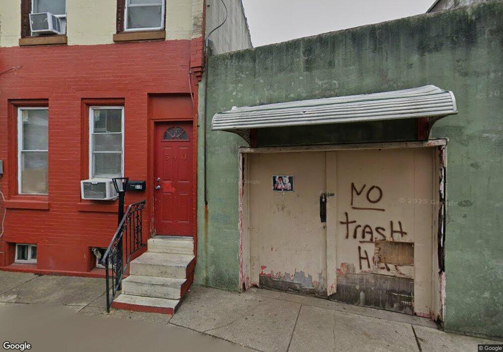
- 540 Tree St
- 538 Tree St
- 2225 S 6th St
- 2223 S 6th St Unit 2nd Floor
- 2223 2ND FLR S 6th St Unit 2
- 2223 S 6th St
- 536 Tree St
- 2227 S 6th St
- 2229 S 6th St
- 2230 S Fairhill St
- 534 Tree St
- 2232 S Fairhill St
- 2231 S 6th St
- 551 Tree St
- 2221 S 6th St
- 549 Tree St
- 2234 S Fairhill St
- 2219 S 6th St
- 547 Tree St
- 2233 S 6th St