542 W Bluff Rd Menlo, GA 30731
Rising Fawn NeighborhoodEstimated Value: $810,000 - $1,949,000
3
Beds
3
Baths
2,986
Sq Ft
$406/Sq Ft
Est. Value
About This Home
This home is located at 542 W Bluff Rd, Menlo, GA 30731 and is currently estimated at $1,213,327, approximately $406 per square foot. 542 W Bluff Rd is a home located in Dade County with nearby schools including Dade Middle School and Dade County High School.
Ownership History
Date
Name
Owned For
Owner Type
Purchase Details
Closed on
Oct 13, 2014
Sold by
Cheek Georgiag L
Bought by
Chandler Jerry W
Current Estimated Value
Purchase Details
Closed on
Jun 26, 2014
Sold by
Cheek Georgia L
Bought by
Cheek Georgia L and Cheek Ralph Cheek
Purchase Details
Closed on
Mar 6, 2003
Sold by
Stewart James A
Bought by
Cheek Georgia L
Purchase Details
Closed on
Nov 21, 2001
Sold by
Brock Hamilton
Bought by
Stewart James A
Purchase Details
Closed on
Dec 18, 1995
Sold by
Lookout Atlantis Ltd
Bought by
Brock Hamilton
Create a Home Valuation Report for This Property
The Home Valuation Report is an in-depth analysis detailing your home's value as well as a comparison with similar homes in the area
Home Values in the Area
Average Home Value in this Area
Purchase History
| Date | Buyer | Sale Price | Title Company |
|---|---|---|---|
| Chandler Jerry W | $799,000 | -- | |
| Cheek Georgia L | $899,000 | -- | |
| Cheek Georgia L | $75,000 | -- | |
| Stewart James A | $75,000 | -- | |
| Brock Hamilton | $56,500 | -- |
Source: Public Records
Tax History
| Year | Tax Paid | Tax Assessment Tax Assessment Total Assessment is a certain percentage of the fair market value that is determined by local assessors to be the total taxable value of land and additions on the property. | Land | Improvement |
|---|---|---|---|---|
| 2025 | $9,540 | $453,640 | $104,400 | $349,240 |
| 2024 | $9,871 | $448,680 | $104,400 | $344,280 |
| 2023 | $9,635 | $430,360 | $104,400 | $325,960 |
| 2022 | $8,559 | $385,520 | $104,400 | $281,120 |
| 2021 | $8,043 | $359,240 | $104,400 | $254,840 |
| 2020 | $8,138 | $348,720 | $104,400 | $244,320 |
| 2019 | $6,856 | $290,960 | $104,400 | $186,560 |
| 2018 | $6,981 | $290,960 | $104,400 | $186,560 |
| 2017 | $6,981 | $290,960 | $104,400 | $186,560 |
| 2016 | $6,954 | $290,960 | $104,400 | $186,560 |
| 2015 | $6,796 | $290,960 | $104,400 | $186,560 |
| 2014 | -- | $217,920 | $69,600 | $148,320 |
| 2013 | -- | $223,560 | $69,600 | $153,960 |
Source: Public Records
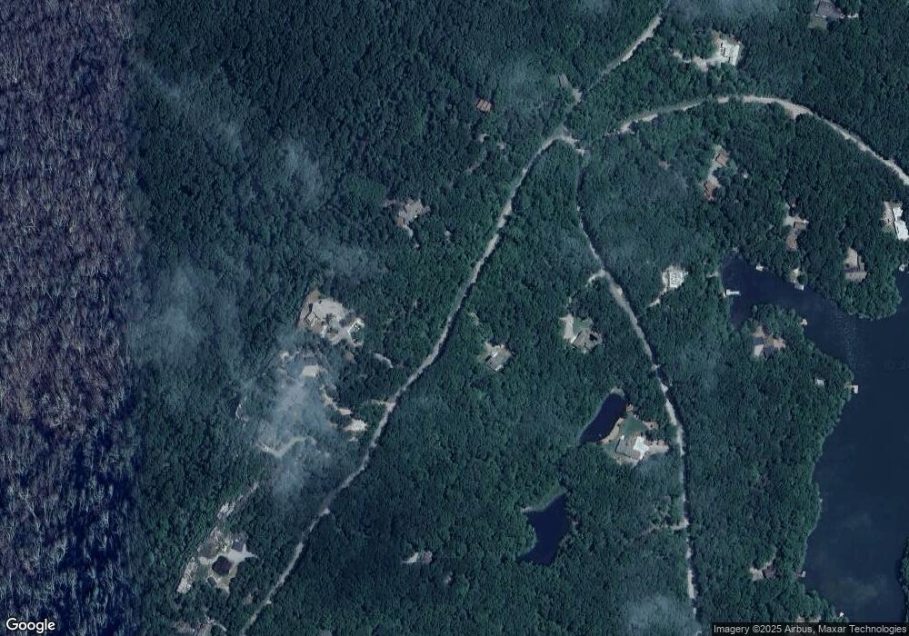
Map
Nearby Homes
- 8 W Bluff Rd
- 52 Tatum Mining Rd
- 90 Crook View Rd
- 1401 Dale Trail
- 343 Highland Forest Cir
- 754 Dale Trail
- 827 Dale Trail
- 65 Eagle Bluff Rd
- 49 Challenger Way
- 38 + - Acres On Ga Hwy 157
- 0 Georgia 157 Unit 7741240
- 443 Tatum Gulf Rd
- I-3 Arrow Ranch Rd
- 717 Rushing Water Trail
- 0 Rushing Water Trail Unit 1521199
- 0 Rushing Water Trail Unit RTC2999988
- 0 Rushing Water Trail Unit 1520903
- 179 Rushing Water Trail
- 147 Eagle Creek Trail
- 3584 Mason Rd
Your Personal Tour Guide
Ask me questions while you tour the home.