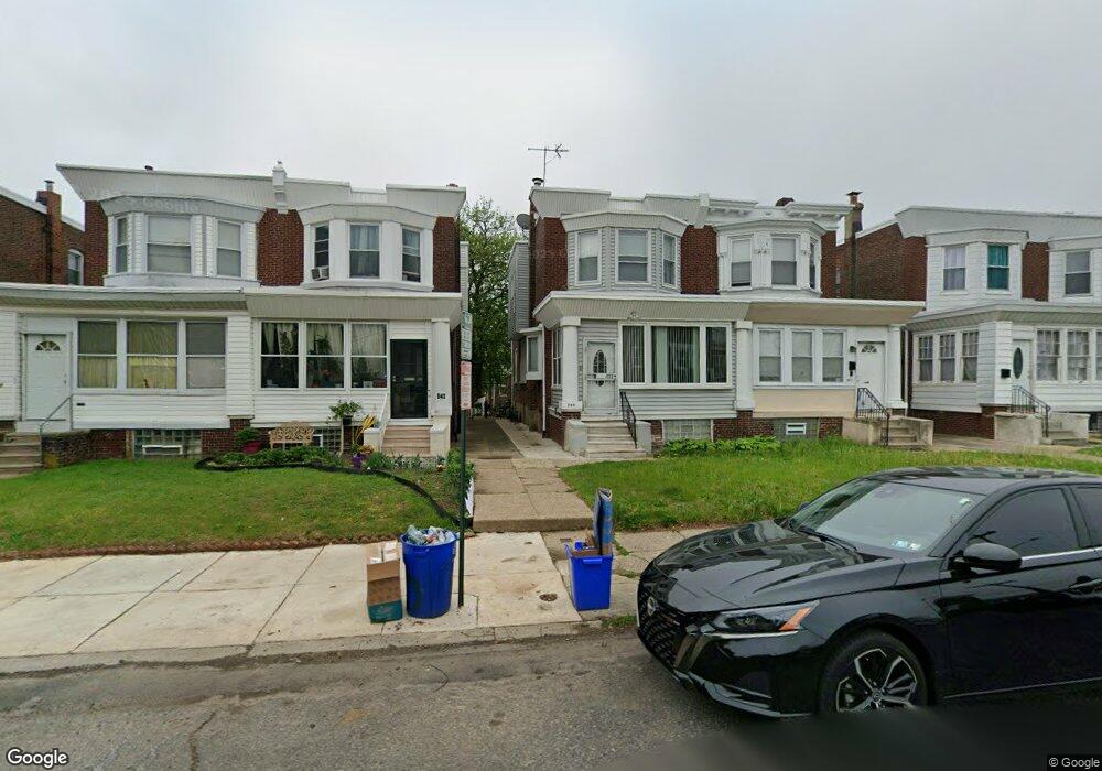
542 W Chew Ave Philadelphia, PA 19120
Olney NeighborhoodEstimated Value: $227,000 - $249,000
3
Beds
2
Baths
1,700
Sq Ft
$139/Sq Ft
Est. Value
About This Home
This home is located at 542 W Chew Ave, Philadelphia, PA 19120 and is currently estimated at $236,686, approximately $139 per square foot. 542 W Chew Ave is a home located in Philadelphia County with nearby schools including James R. Lowell Elementary School, Grover Washington Middle School, and Samuel Fels High School.
Ownership History
Date
Name
Owned For
Owner Type
Purchase Details
Closed on
Jun 27, 2008
Sold by
Powell Keal L
Bought by
Sams Denise R
Current Estimated Value
Home Financials for this Owner
Home Financials are based on the most recent Mortgage that was taken out on this home.
Original Mortgage
$141,382
Outstanding Balance
$91,210
Interest Rate
6.07%
Mortgage Type
Purchase Money Mortgage
Estimated Equity
$145,476
Purchase Details
Closed on
Mar 29, 1995
Sold by
Feck Phyllis Strock and Huebner Gertrude
Bought by
Powell Keal L
Create a Home Valuation Report for This Property
The Home Valuation Report is an in-depth analysis detailing your home's value as well as a comparison with similar homes in the area
Home Values in the Area
Average Home Value in this Area
Purchase History
| Date | Buyer | Sale Price | Title Company |
|---|---|---|---|
| Sams Denise R | $142,500 | None Available | |
| Powell Keal L | $56,000 | -- |
Source: Public Records
Mortgage History
| Date | Status | Borrower | Loan Amount |
|---|---|---|---|
| Open | Sams Denise R | $141,382 |
Source: Public Records
Tax History Compared to Growth
Tax History
| Year | Tax Paid | Tax Assessment Tax Assessment Total Assessment is a certain percentage of the fair market value that is determined by local assessors to be the total taxable value of land and additions on the property. | Land | Improvement |
|---|---|---|---|---|
| 2025 | $2,493 | $228,600 | $45,720 | $182,880 |
| 2024 | $2,493 | $228,600 | $45,720 | $182,880 |
| 2023 | $2,493 | $178,100 | $35,620 | $142,480 |
| 2022 | $1,869 | $178,100 | $35,620 | $142,480 |
| 2021 | $1,869 | $0 | $0 | $0 |
| 2020 | $1,869 | $0 | $0 | $0 |
| 2019 | $1,860 | $0 | $0 | $0 |
| 2018 | $1,620 | $0 | $0 | $0 |
| 2017 | $1,620 | $0 | $0 | $0 |
| 2016 | $1,620 | $0 | $0 | $0 |
| 2015 | $1,550 | $0 | $0 | $0 |
| 2014 | -- | $115,700 | $17,301 | $98,399 |
| 2012 | -- | $14,848 | $3,203 | $11,645 |
Source: Public Records
Map
Nearby Homes
- 5720 N Marshall St
- 5737 N Marshall St
- 5612 N 5th St
- 5648 N Lawrence St
- 5516 N Marshall St
- 5507 N Marshall St
- 5500 N 6th St
- 5500 N Marshall St
- 5824 N Marshall St
- 524 W Tabor Rd
- 5528 N Lawrence St
- 308 W Grange Ave
- 990 W Tabor Rd
- 5825 N 4th St
- 514 Widener St
- 5904 N 7th St
- 5921 N Lawrence St
- 5601 N 10th St
- 5534 N American St
- 5619 N American St
- 540 W Chew Ave
- 538 W Chew Ave
- 544 W Chew Ave
- 536 W Chew Ave
- 546 W Chew Ave
- 534 W Chew Ave
- 548 W Chew Ave
- 532 W Chew Ave
- 530 W Chew Ave
- 539 Elkins Ave
- 541 Elkins Ave
- 537 Elkins Ave
- 543 Elkins Ave
- 535 Elkins Ave
- 545 Elkins Ave
- 533 Elkins Ave
- 547 Elkins Ave
- 531 Elkins Ave
- 5701 N 6th St
- 5704 N Fairhill St