5420 Flint Hill Hwy Shiloh, GA 31826
Estimated Value: $269,000 - $552,000
3
Beds
3
Baths
1,654
Sq Ft
$222/Sq Ft
Est. Value
About This Home
This home is located at 5420 Flint Hill Hwy, Shiloh, GA 31826 and is currently estimated at $367,265, approximately $222 per square foot. 5420 Flint Hill Hwy is a home located in Talbot County with nearby schools including Central School.
Ownership History
Date
Name
Owned For
Owner Type
Purchase Details
Closed on
Sep 30, 2018
Sold by
Dang Anthony
Bought by
Dang Jeanie M
Current Estimated Value
Home Financials for this Owner
Home Financials are based on the most recent Mortgage that was taken out on this home.
Original Mortgage
$146,000
Outstanding Balance
$127,072
Interest Rate
4.6%
Estimated Equity
$240,193
Purchase Details
Closed on
Aug 31, 2018
Sold by
Us Bank Trust Na
Bought by
Dang Anthony
Home Financials for this Owner
Home Financials are based on the most recent Mortgage that was taken out on this home.
Original Mortgage
$146,000
Outstanding Balance
$127,072
Interest Rate
4.6%
Estimated Equity
$240,193
Purchase Details
Closed on
Feb 28, 1996
Sold by
Randy Phillips
Bought by
Phillips Barbara
Purchase Details
Closed on
May 3, 1994
Bought by
Randy Phillips
Create a Home Valuation Report for This Property
The Home Valuation Report is an in-depth analysis detailing your home's value as well as a comparison with similar homes in the area
Home Values in the Area
Average Home Value in this Area
Purchase History
| Date | Buyer | Sale Price | Title Company |
|---|---|---|---|
| Dang Jeanie M | -- | -- | |
| Dang Anthony | $146,000 | -- | |
| Phillips Barbara | -- | -- | |
| Randy Phillips | $11,800 | -- |
Source: Public Records
Mortgage History
| Date | Status | Borrower | Loan Amount |
|---|---|---|---|
| Open | Dang Anthony | $146,000 |
Source: Public Records
Tax History Compared to Growth
Tax History
| Year | Tax Paid | Tax Assessment Tax Assessment Total Assessment is a certain percentage of the fair market value that is determined by local assessors to be the total taxable value of land and additions on the property. | Land | Improvement |
|---|---|---|---|---|
| 2024 | $200 | $65,973 | $5,900 | $60,073 |
| 2023 | $180 | $55,057 | $5,728 | $49,329 |
| 2022 | $1,715 | $55,677 | $5,728 | $49,949 |
| 2021 | $162 | $54,141 | $4,981 | $49,160 |
| 2020 | $134 | $44,355 | $4,981 | $39,374 |
| 2019 | $134 | $44,593 | $4,981 | $39,612 |
| 2018 | $1,343 | $44,593 | $4,981 | $39,612 |
| 2017 | $1,412 | $44,593 | $4,981 | $39,612 |
| 2016 | -- | $39,922 | $4,981 | $34,941 |
| 2015 | -- | $42,558 | $7,617 | $34,941 |
| 2013 | -- | $47,069 | $11,732 | $35,337 |
Source: Public Records
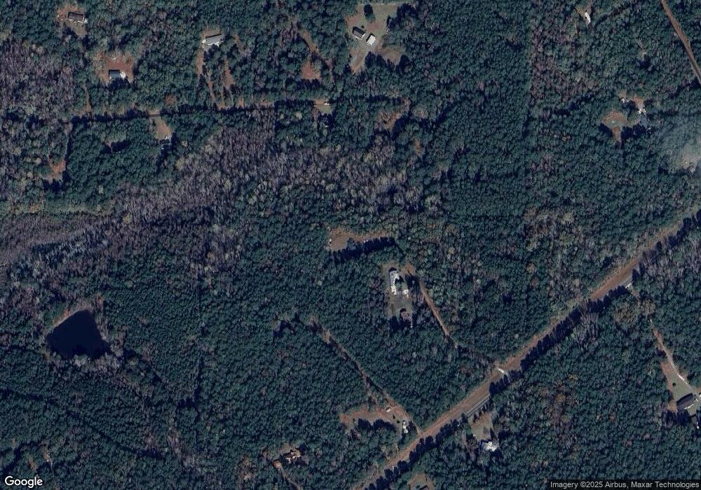
Map
Nearby Homes
- BLK 79 LOT 07 Pansy Loop
- 0 Aster Ct Block 2 Unit 10540208
- 00Lot3 & Lot 4 Mountain Ridge Dr
- 6 Juniper Way
- LOT 19 Mountain Ridge Dr
- LOT 1 & LOT 15 Mountain Ridge Dr
- LOT 18 Candy Tuft Ln
- Lots 8 & 9 S Mountain Dr
- Lot 16 Honeysuckle Cir
- 531 S Mountain Dr
- BLK 29 LOT 31 Heather Cir
- 0 Heather Cir Unit 216114
- BLOCK 21 LOT 01 Juniper Trail
- BLK 27 LOT 22 Honeysuckle Cir
- BLK 14 LOT 05 Quince Ct
- 0 Ingram Rd
- 0 S Porter Rd Unit 10545447
- 0 S Porter Rd Unit 7609203
- 2819 Chestnut Grove Rd
- 2450 Chestnut Grove Rd Unit 2
- 5406 Flint Hill Hwy
- 5404 Flint Hill Hwy
- 5520 Flint Hill Hwy
- 415 Chapman Rd
- 393 Chapman Rd
- 0 Flint Hill Hwy Unit 7609959
- 0 Flint Hill Hwy Unit 8498582
- 0 Flint Hill Hwy Unit 8498224
- 5614 Flint Hill Hwy
- 1139 John Howard Rd
- 264 Turkey Roost Ln
- 00 Mann Rd
- 00 Brown Creek Rd
- oo Flinthill Hwy
- 1279 John Howard Rd
- 341 Turkey Roost Ln
- 126 Turkey Roost Ln
- 169 Chapman Rd
- 169 Chapman Rd Unit 3
- 1021 John Howard Rd