Estimated Value: $148,921 - $169,000
3
Beds
1
Bath
1,352
Sq Ft
$118/Sq Ft
Est. Value
About This Home
This home is located at 5420 N Elk St, Peck, MI 48466 and is currently estimated at $159,730, approximately $118 per square foot. 5420 N Elk St is a home located in Sanilac County with nearby schools including Peck Community Elementary School and Peck Junior/Senior High School.
Ownership History
Date
Name
Owned For
Owner Type
Purchase Details
Closed on
Sep 11, 2024
Sold by
Fletcher Patty S and Kerr Patty S
Bought by
Baird Charles and Baird Ashley
Current Estimated Value
Home Financials for this Owner
Home Financials are based on the most recent Mortgage that was taken out on this home.
Original Mortgage
$120,000
Outstanding Balance
$118,494
Interest Rate
6.73%
Mortgage Type
New Conventional
Estimated Equity
$41,236
Purchase Details
Closed on
May 9, 1994
Sold by
Kerr William and Kerr Patricia
Bought by
Fletcher Patty
Create a Home Valuation Report for This Property
The Home Valuation Report is an in-depth analysis detailing your home's value as well as a comparison with similar homes in the area
Home Values in the Area
Average Home Value in this Area
Purchase History
| Date | Buyer | Sale Price | Title Company |
|---|---|---|---|
| Baird Charles | $145,000 | Ata National Title | |
| Baird Charles | $145,000 | Ata Nat L Title | |
| Fletcher Patty | $25,000 | -- |
Source: Public Records
Mortgage History
| Date | Status | Borrower | Loan Amount |
|---|---|---|---|
| Open | Baird Charles | $120,000 | |
| Closed | Baird Charles | $120,000 |
Source: Public Records
Tax History Compared to Growth
Tax History
| Year | Tax Paid | Tax Assessment Tax Assessment Total Assessment is a certain percentage of the fair market value that is determined by local assessors to be the total taxable value of land and additions on the property. | Land | Improvement |
|---|---|---|---|---|
| 2025 | $299 | $56,900 | $0 | $0 |
| 2024 | $107 | $20,000 | $0 | $0 |
| 2023 | $106 | $14,350 | $0 | $0 |
| 2022 | $101 | $11,700 | $0 | $0 |
| 2021 | $158 | $9,396 | $0 | $0 |
| 2020 | $247 | $8,960 | $0 | $0 |
| 2019 | $85 | $6,441 | $0 | $0 |
| 2018 | $102 | $8,295 | $0 | $0 |
| 2017 | $100 | $8,174 | $0 | $0 |
| 2016 | $112 | $8,596 | $0 | $0 |
| 2015 | -- | $9,094 | $0 | $0 |
| 2014 | -- | $7,951 | $0 | $0 |
Source: Public Records
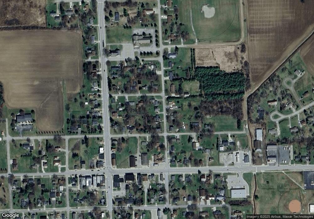
Map
Nearby Homes
- 5294 Sandusky Rd
- 5645 Mill St
- 5668 Mill St
- 0001 Duquette Rd
- 3571 Sandusky Rd
- 6456 Bricker Rd
- 7347 Duquette Rd
- 5375 Shawn St
- 7907 Brockway Rd
- 2240 Mark St
- 2266 Bart St
- 2259 Bart St
- 2343 Tia St
- 2302 Stiles Rd
- 2326 Mark St
- 8060 Brockway Rd
- 3747 Brown Rd
- 0 Wellman Vl B Rd Unit 50192974
- 2798 Harrington Rd
- 5445 Todd Rd