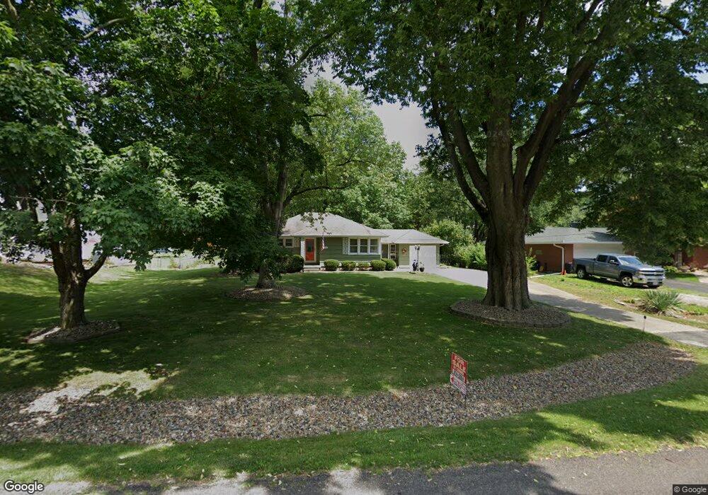
5420 N Sherwood Ave Peoria, IL 61614
North Peoria NeighborhoodEstimated Value: $139,079 - $164,000
3
Beds
1
Bath
1,008
Sq Ft
$153/Sq Ft
Est. Value
About This Home
This home is located at 5420 N Sherwood Ave, Peoria, IL 61614 and is currently estimated at $154,020, approximately $152 per square foot. 5420 N Sherwood Ave is a home located in Peoria County with nearby schools including Kellar Primary School, Liberty Leadership Middle School, and Richwoods High School.
Ownership History
Date
Name
Owned For
Owner Type
Purchase Details
Closed on
Aug 29, 2022
Sold by
Maryalice Zikus
Bought by
Ulrich Stephen E
Current Estimated Value
Home Financials for this Owner
Home Financials are based on the most recent Mortgage that was taken out on this home.
Original Mortgage
$68,900
Outstanding Balance
$65,762
Interest Rate
5.13%
Mortgage Type
New Conventional
Estimated Equity
$88,258
Create a Home Valuation Report for This Property
The Home Valuation Report is an in-depth analysis detailing your home's value as well as a comparison with similar homes in the area
Home Values in the Area
Average Home Value in this Area
Purchase History
| Date | Buyer | Sale Price | Title Company |
|---|---|---|---|
| Ulrich Stephen E | $118,900 | Tilton Law Office |
Source: Public Records
Mortgage History
| Date | Status | Borrower | Loan Amount |
|---|---|---|---|
| Open | Ulrich Stephen E | $68,900 |
Source: Public Records
Tax History Compared to Growth
Tax History
| Year | Tax Paid | Tax Assessment Tax Assessment Total Assessment is a certain percentage of the fair market value that is determined by local assessors to be the total taxable value of land and additions on the property. | Land | Improvement |
|---|---|---|---|---|
| 2024 | $2,024 | $41,670 | $7,860 | $33,810 |
| 2023 | $3,032 | $38,230 | $7,210 | $31,020 |
| 2022 | $2,159 | $33,380 | $6,650 | $26,730 |
| 2021 | $2,036 | $31,790 | $6,330 | $25,460 |
| 2020 | $2,052 | $31,480 | $6,270 | $25,210 |
| 2019 | $2,104 | $32,120 | $6,400 | $25,720 |
| 2018 | $2,101 | $32,570 | $6,360 | $26,210 |
| 2017 | $2,110 | $32,890 | $6,420 | $26,470 |
| 2016 | $2,030 | $32,890 | $6,420 | $26,470 |
| 2015 | $1,805 | $32,240 | $6,290 | $25,950 |
| 2014 | $1,817 | $30,610 | $5,970 | $24,640 |
| 2013 | -- | $30,980 | $6,040 | $24,940 |
Source: Public Records
Map
Nearby Homes
- 934 W Austin Dr
- 1123 W Millford Ln
- W Lake Pointe Terrace
- 5501 N Holly Hedges Ct
- 1114 W Oakglen Dr
- 1012 W Shenandoah Dr
- 5918 N Roxbury Ln
- 5505 N Sheridan Rd
- 719 W Shenandoah Dr
- 4600 N University St
- 1521 W Daytona Dr
- 6017 N Trenton Ln
- Lot 18 W Woods Edge Dr
- Lot 22 W Woods Edge Dr
- 1412 W Glen Ave
- 5710 N Western Ave
- 5821 N Graceland Dr
- 6217 N Knoll Aire Dr
- 801 W Shermoor St
- 1914 W White Oak Dr
- 5424 N Sherwood Ave
- 5412 N Sherwood Ave
- 5406 N Sherwood Ave
- 5423 N Isabell Ave
- 5411 N Isabell Ave
- 5502 N Sherwood Ave
- 1121 W Austin Dr
- 5407 N Isabell Ave
- 5400 N Sherwood Ave
- 5427 N Sherwood Ave
- 1111 W Austin Dr
- 5505 N Sherwood Ave
- 5413 N Sherwood Ave
- 5407 N Sherwood Ave
- 5341 N Isabell Ave
- 1107 W Austin Dr
- 5512 N Sherwood Ave
- 5336 N Sherwood Ave
- 1126 W Pembrook Dr
- 5511 N Sherwood Ave