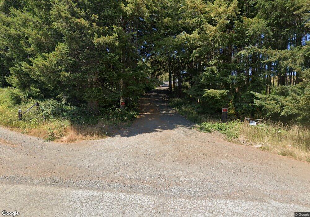
54206 Fishtrap Rd Myrtle Point, OR 97458
Estimated Value: $554,000 - $667,000
2
Beds
3
Baths
2,899
Sq Ft
$204/Sq Ft
Est. Value
About This Home
This home is located at 54206 Fishtrap Rd, Myrtle Point, OR 97458 and is currently estimated at $592,612, approximately $204 per square foot. 54206 Fishtrap Rd is a home located in Coos County with nearby schools including Myrtle Crest School and Myrtle Point High School.
Ownership History
Date
Name
Owned For
Owner Type
Purchase Details
Closed on
Dec 5, 2018
Sold by
Cole Myron D and Estate Of Myron D Cole Sr
Bought by
Cole Myron D
Current Estimated Value
Purchase Details
Closed on
Sep 21, 2010
Sold by
Cole Myron Douglas
Bought by
Cole Myron D
Home Financials for this Owner
Home Financials are based on the most recent Mortgage that was taken out on this home.
Original Mortgage
$174,000
Interest Rate
4.38%
Mortgage Type
New Conventional
Purchase Details
Closed on
Apr 27, 2010
Sold by
Cole Janet Elaine
Bought by
Cole Myron Douglas
Create a Home Valuation Report for This Property
The Home Valuation Report is an in-depth analysis detailing your home's value as well as a comparison with similar homes in the area
Home Values in the Area
Average Home Value in this Area
Purchase History
| Date | Buyer | Sale Price | Title Company |
|---|---|---|---|
| Cole Myron D | $341,652 | None Available | |
| Cole Myron D | -- | Fidelity National Title Co | |
| Cole Myron Douglas | -- | None Available |
Source: Public Records
Mortgage History
| Date | Status | Borrower | Loan Amount |
|---|---|---|---|
| Previous Owner | Cole Myron D | $174,000 |
Source: Public Records
Tax History Compared to Growth
Tax History
| Year | Tax Paid | Tax Assessment Tax Assessment Total Assessment is a certain percentage of the fair market value that is determined by local assessors to be the total taxable value of land and additions on the property. | Land | Improvement |
|---|---|---|---|---|
| 2025 | $3,068 | $309,453 | -- | -- |
| 2024 | $3,033 | $300,447 | -- | -- |
| 2023 | $2,862 | $291,702 | $0 | $0 |
| 2022 | $2,844 | $283,209 | $0 | $0 |
| 2021 | $2,780 | $274,967 | $0 | $0 |
| 2020 | $2,707 | $274,967 | $0 | $0 |
| 2019 | $2,566 | $259,197 | $0 | $0 |
| 2018 | $2,499 | $251,649 | $0 | $0 |
| 2017 | $2,441 | $244,321 | $0 | $0 |
| 2016 | $2,375 | $237,205 | $0 | $0 |
| 2015 | $2,236 | $230,300 | $0 | $0 |
| 2014 | $2,233 | $223,596 | $0 | $0 |
Source: Public Records
Map
Nearby Homes
- 53874 Fishtrap Rd
- 57249 Fat Elk Rd
- 55593 Glen Aiken Creek Rd
- 54825 Robinson Rd
- 99690 Highway 42
- 0 Tax Id 869112 Unit 24363207
- 94171 Crystol Creek Ln
- 0 Oregon 42
- 0 Myrtle Terrace
- 56941 Fishtrap Rd
- 94428 Rink Creek Ln
- 56191 Glen Aiken Creek Rd
- 200 S Adams St
- 18 S Collier St
- 851 S 1st Ave
- 527 W 4th St
- 163 N Dean St
- 150 N Dean St
- 547 W 4th St
- 0 N Dogwood St
