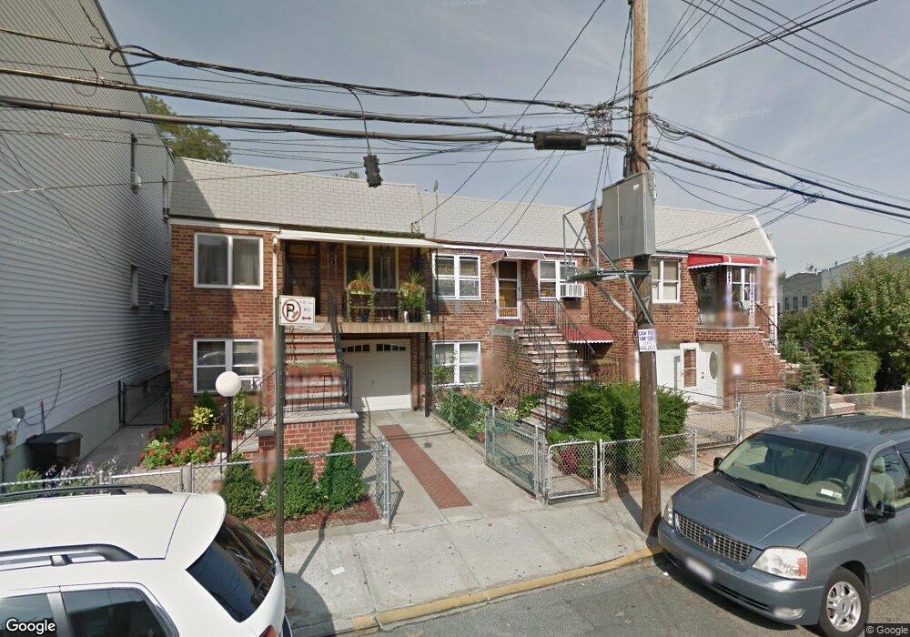
5421 Andrews Ave Maspeth, NY 11378
Maspeth NeighborhoodEstimated Value: $864,380 - $982,000
1
Bed
1
Bath
1,560
Sq Ft
$584/Sq Ft
Est. Value
About This Home
This home is located at 5421 Andrews Ave, Maspeth, NY 11378 and is currently estimated at $911,095, approximately $584 per square foot. 5421 Andrews Ave is a home located in Queens County with nearby schools including I.S. 093 Ridgewood, Grover Cleveland High School, and Notre Dame Catholic Academy.
Ownership History
Date
Name
Owned For
Owner Type
Purchase Details
Closed on
Apr 24, 1997
Sold by
Janicke John and Janicke Geraldine
Bought by
Saccomanno Giovanni and Saccomanno Frances
Current Estimated Value
Home Financials for this Owner
Home Financials are based on the most recent Mortgage that was taken out on this home.
Original Mortgage
$131,000
Interest Rate
7.97%
Create a Home Valuation Report for This Property
The Home Valuation Report is an in-depth analysis detailing your home's value as well as a comparison with similar homes in the area
Home Values in the Area
Average Home Value in this Area
Purchase History
| Date | Buyer | Sale Price | Title Company |
|---|---|---|---|
| Saccomanno Giovanni | $175,000 | First American Title Ins Co |
Source: Public Records
Mortgage History
| Date | Status | Borrower | Loan Amount |
|---|---|---|---|
| Previous Owner | Saccomanno Giovanni | $131,000 |
Source: Public Records
Tax History Compared to Growth
Tax History
| Year | Tax Paid | Tax Assessment Tax Assessment Total Assessment is a certain percentage of the fair market value that is determined by local assessors to be the total taxable value of land and additions on the property. | Land | Improvement |
|---|---|---|---|---|
| 2025 | $2,818 | $37,795 | $6,382 | $31,413 |
| 2024 | $2,922 | $35,657 | $6,006 | $29,651 |
| 2023 | $2,615 | $33,640 | $6,277 | $27,363 |
| 2022 | $2,699 | $47,940 | $8,520 | $39,420 |
| 2021 | $2,745 | $46,020 | $8,520 | $37,500 |
| 2020 | $2,674 | $48,240 | $8,520 | $39,720 |
| 2019 | $2,449 | $45,300 | $8,520 | $36,780 |
| 2018 | $2,198 | $28,033 | $6,105 | $21,928 |
| 2017 | $2,211 | $28,033 | $5,687 | $22,346 |
| 2016 | $4,229 | $28,033 | $5,687 | $22,346 |
| 2015 | $2,432 | $26,247 | $7,975 | $18,272 |
| 2014 | $2,432 | $24,762 | $8,168 | $16,594 |
Source: Public Records
Map
Nearby Homes
- 60-85 55th St
- 6077 55th St
- 6143 55th St
- 55-01 Metropolitan Ave
- 6089 54th St
- 60-89 54th St
- 60-41 55th St
- 6167 56th St
- 5368 Metropolitan Ave
- 5431 Nurge Ave
- 21-17 Rene Ct
- 60-17 54th St
- 5631 Metropolitan Ave
- 5803 Metropolitan Ave
- 59-06 59th Dr
- 60-14 60th Ave
- 60-30 53rd St
- 59-19 59th Dr
- 5917 59th Dr
- 60-23 60th Rd
- 5421 Andrews Ave
- 5423 Andrews Ave
- 5419 Andrews Ave
- 6118 55th St
- 6118 55th St Unit 1L
- 6118 55th St Unit 1R
- 6118 55th St Unit 2L
- 6118 55th St Unit 2R
- 5417 Andrews Ave
- 6116 55th St
- 61-18 55th St
- 61-18 55th St Unit 2 L
- 61-18 55th St Unit 1 L
- 61-18 55th St Unit 2 R
- 61-18 55th St Unit 1 R
- 5415 Andrews Ave
- 6114 55th St
- 5413 Andrews Ave Unit 2A
- 5413 Andrews Ave
- 61-14 55th St Unit 2 L