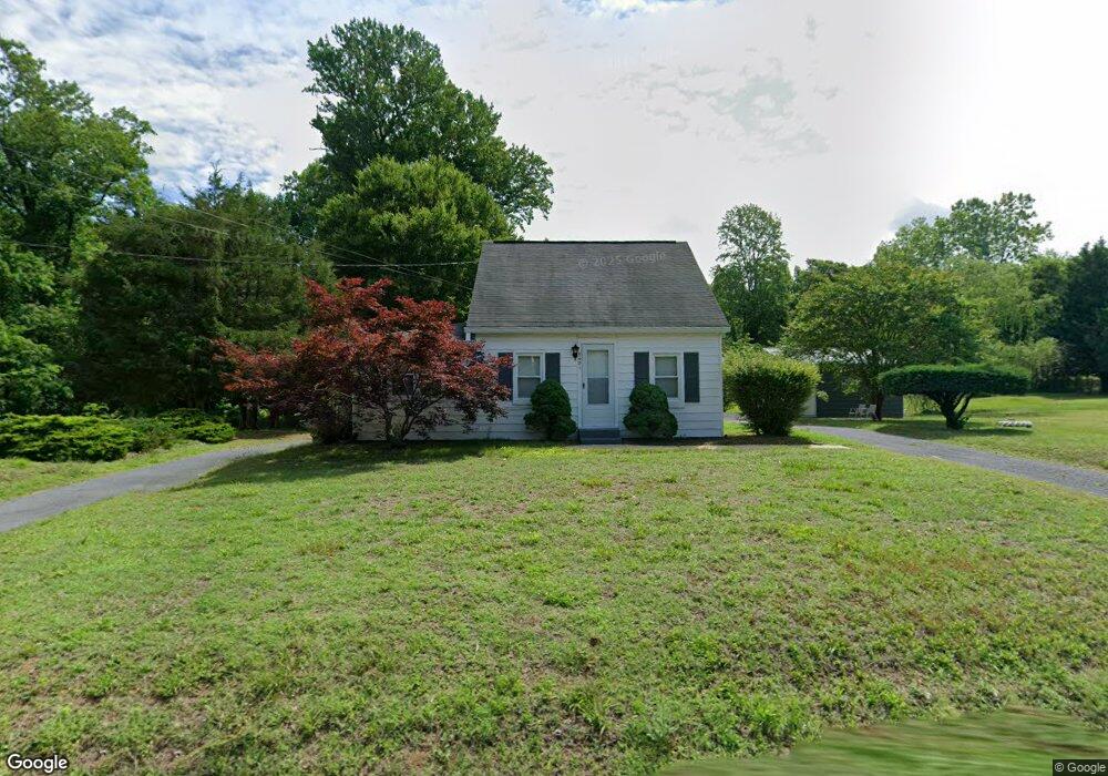
5421 Sands Rd Lothian, MD 20711
Estimated Value: $343,578 - $495,000
Studio
1
Bath
1,580
Sq Ft
$258/Sq Ft
Est. Value
About This Home
This home is located at 5421 Sands Rd, Lothian, MD 20711 and is currently estimated at $408,145, approximately $258 per square foot. 5421 Sands Rd is a home located in Anne Arundel County with nearby schools including Tracey's Elementary School, Southern Middle School, and Southern High School.
Ownership History
Date
Name
Owned For
Owner Type
Purchase Details
Closed on
Nov 3, 2022
Sold by
Randall Marvel
Bought by
Randall Eric
Current Estimated Value
Purchase Details
Closed on
Apr 20, 2017
Bought by
Randall Marvel
Home Financials for this Owner
Home Financials are based on the most recent Mortgage that was taken out on this home.
Original Mortgage
$172,583
Interest Rate
3.97%
Create a Home Valuation Report for This Property
The Home Valuation Report is an in-depth analysis detailing your home's value as well as a comparison with similar homes in the area
Purchase History
| Date | Buyer | Sale Price | Title Company |
|---|---|---|---|
| Randall Eric | -- | -- | |
| Randall Marvel | -- | -- |
Source: Public Records
Mortgage History
| Date | Status | Borrower | Loan Amount |
|---|---|---|---|
| Previous Owner | Randall Marvel | $172,583 | |
| Previous Owner | Randall Marvel | -- |
Source: Public Records
Tax History
| Year | Tax Paid | Tax Assessment Tax Assessment Total Assessment is a certain percentage of the fair market value that is determined by local assessors to be the total taxable value of land and additions on the property. | Land | Improvement |
|---|---|---|---|---|
| 2025 | $2,959 | $310,933 | -- | -- |
| 2024 | $2,959 | $295,367 | $0 | $0 |
| 2023 | $2,879 | $279,800 | $185,000 | $94,800 |
| 2022 | $2,706 | $271,967 | $0 | $0 |
| 2020 | $2,607 | $256,300 | $185,000 | $71,300 |
| 2019 | $2,557 | $246,433 | $0 | $0 |
| 2018 | $2,399 | $236,567 | $0 | $0 |
| 2017 | $2,389 | $226,700 | $0 | $0 |
| 2016 | -- | $217,100 | $0 | $0 |
| 2015 | -- | $207,500 | $0 | $0 |
| 2014 | -- | $197,900 | $0 | $0 |
Source: Public Records
Map
Nearby Homes
- 146 Patuxent Mobile Estate
- 92 Patuxent Mobile Estates
- 76 Patuxent Mobile Estates
- 318 Ella Dr
- 55 Patuxent Mobile Estates
- 1168 Marlboro Rd
- 6 Patuxent Mobile Estates
- 276 5th St
- 1218 Whittington Dr
- 244 5th St
- 206 5th St
- 56 3rd St
- 190 Boones Dr
- 299 Rips Dr
- 402 Boones Dr
- 997 Mount Zion Marlboro Rd
- 460 Sarah Anne Dr
- 415 Dutch Dr
- 898 Mt Zion Marlboro Rd
- 17303 Newton Ct
- 5415 Sands Rd
- 5418 Sands Rd
- 5430 Sands Rd
- 5409 Sands Rd
- 5442 Sands Rd
- 1277 Marlboro Rd
- 5434 Sands Rd
- 1267 Marlboro Rd
- 1277 Mt Zion Marlboro Rd
- 1271 Marlboro Rd
- 1275 Mt Zion Marlboro Rd
- 5459 Sands Rd
- 1275 Marlboro Rd
- 1273 Marlboro Rd
- 1273 Mt Zion Marlboro Rd
- 1245 Marlboro Rd
- 5446 Sands Rd
- 1241 Marlboro Rd
- 1283 Marlboro Rd
- 1250 Mt Zion Marlboro Rd
Your Personal Tour Guide
Ask me questions while you tour the home.