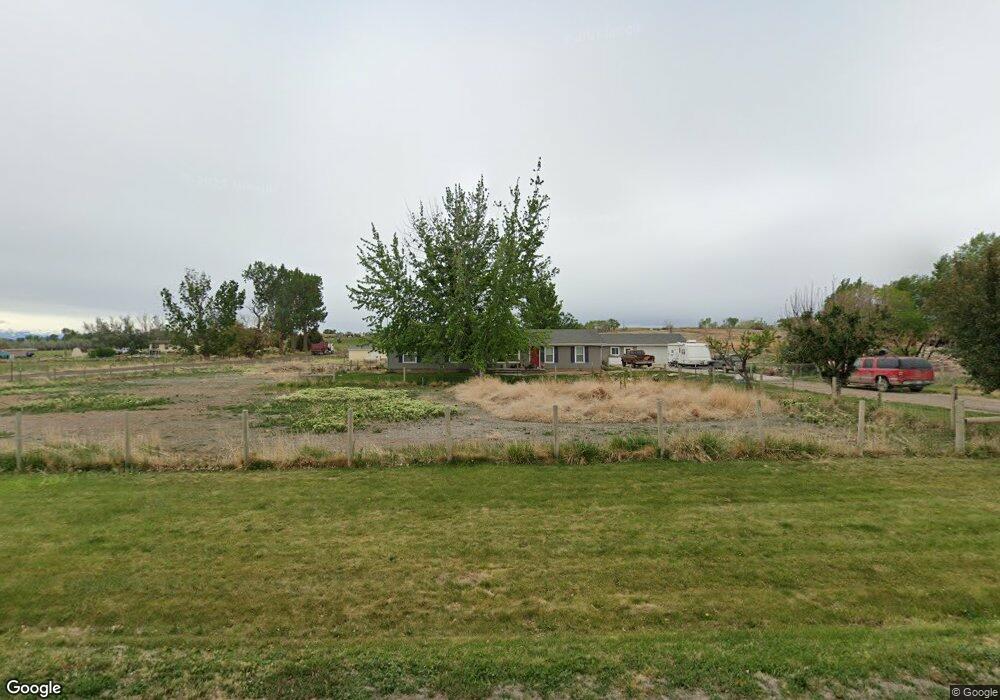
54218 Flight Ln Olathe, CO 81425
Estimated Value: $473,000 - $553,000
About This Home
This home is located at 54218 Flight Ln, Olathe, CO 81425 and is currently estimated at $515,065, approximately $280 per square foot. 54218 Flight Ln is a home located in Montrose County with nearby schools including Olathe Elementary School, Olathe Middle and High School, and Olathe Middle School.
Ownership History
We collect this data history from publicly available records. To have your information removed, we recommend requesting removal directly through your county’s website.
Purchase Details
Home Financials for this Owner
Home Financials are based on the most recent Mortgage that was taken out on this home.Purchase Details
Purchase Details
Purchase History
We collect this data history from publicly available records. To have your information removed, we recommend requesting removal directly through your county’s website.
| Date | Buyer | Sale Price | Title Company |
|---|---|---|---|
| $215,000 | None Available | ||
| -- | -- | ||
| -- | -- |
Mortgage History
We collect this data history from publicly available records. To have your information removed, we recommend requesting removal directly through your county’s website.
| Date | Status | Borrower | Loan Amount |
|---|---|---|---|
| Open | $163,500 |
Tax History
We collect this data history from publicly available records. To have your information removed, we recommend requesting removal directly through your county’s website.
| Year | Tax Paid | Tax Assessment Tax Assessment Total Assessment is a certain percentage of the fair market value that is determined by local assessors to be the total taxable value of land and additions on the property. | Land | Improvement |
|---|---|---|---|---|
| 2025 | $1,999 | $31,490 | $0 | $0 |
| 2024 | $1,999 | $24,500 | $5,590 | $18,910 |
| 2023 | $1,717 | $29,230 | $6,670 | $22,560 |
| 2022 | $1,133 | $18,000 | $3,330 | $14,670 |
| 2021 | $1,172 | $18,530 | $3,430 | $15,100 |
| 2020 | $1,092 | $17,620 | $3,100 | $14,520 |
| 2019 | $1,099 | $17,620 | $3,100 | $14,520 |
| 2018 | $983 | $15,330 | $2,500 | $12,830 |
| 2017 | $981 | $15,330 | $2,500 | $12,830 |
| 2016 | $877 | $13,950 | $2,400 | $11,550 |
| 2015 | $809 | $13,950 | $2,400 | $11,550 |
| 2014 | $680 | $12,560 | $2,400 | $10,160 |
Map
- 54230 Faith Trail
- 54326 Flintlock Ln
- 53374 Flight Trail
- 55664 Fuchsia Ln
- 7276 5550 Rd
- 55744 Fuchsia Ln
- tbd 5500 Rd
- 56577 Hawthorne Ln
- 9838 5650 Rd
- 5695 Colorado 348
- 5274 5700 Rd
- 5760 Highway 348
- 3998 5500 Rd
- 58177 Garner Ln
- 51230 & 51234 Cactus Trail
- Tbd Begonia Rd
- 6859 Church St
- TBD Banner Rd
- TBD Inverness Ct
- TBD Begonia Rd
- 54156 Flight Ln
- 54231 Flight Ln
- 54201 Flight
- 7650 5425 Rd
- TBD Faith Trail Unit GMSubd Lot 1
- 54171 Flight
- 54188 Faith Trail
- 54143 Flight
- 54100 Flight Ln
- 54113 Flight Ln
- Lot 3 Flintlock Ln
- 16.73 acres Flintlock Ln
- Lot 4 Flintlock Ln
- Lot 1 Flintlock Ln
- 54083 Flight
- Lot 6 Flintlock Ln
- 54092 Faith Trail
- Lot 8 Flintlock Ln
- Lot 7 Flintlock Ln
- 54055 Flight
Ask me questions while you tour the home.