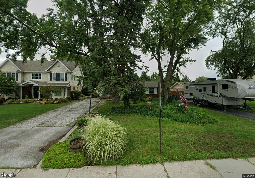
5422 131st St Crestwood, IL 60445
Estimated Value: $299,000 - $345,000
4
Beds
2
Baths
1,611
Sq Ft
$198/Sq Ft
Est. Value
About This Home
This home is located at 5422 131st St, Crestwood, IL 60445 and is currently estimated at $318,362, approximately $197 per square foot. 5422 131st St is a home located in Cook County with nearby schools including Nathan Hale Primary School, Nathan Hale Intermediate School, and Nathan Hale Middle School.
Ownership History
Date
Name
Owned For
Owner Type
Purchase Details
Closed on
Dec 17, 1999
Sold by
Fischer Gregory B and Fischer Susan H
Bought by
Armendariz Gilberto and Armendariz Sylvia M
Current Estimated Value
Home Financials for this Owner
Home Financials are based on the most recent Mortgage that was taken out on this home.
Original Mortgage
$110,000
Outstanding Balance
$34,020
Interest Rate
7.7%
Estimated Equity
$284,343
Purchase Details
Closed on
Apr 27, 1998
Sold by
Gertonson Robert W
Bought by
Powers Robert and Powers Deborah
Home Financials for this Owner
Home Financials are based on the most recent Mortgage that was taken out on this home.
Original Mortgage
$113,050
Interest Rate
7.18%
Purchase Details
Closed on
Apr 17, 1997
Sold by
Gertonson Sharon M
Bought by
Gertonson Robert W
Create a Home Valuation Report for This Property
The Home Valuation Report is an in-depth analysis detailing your home's value as well as a comparison with similar homes in the area
Home Values in the Area
Average Home Value in this Area
Purchase History
| Date | Buyer | Sale Price | Title Company |
|---|---|---|---|
| Armendariz Gilberto | $255,000 | -- | |
| Powers Robert | $119,000 | -- | |
| Gertonson Robert W | -- | Chicago Title Insurance Co |
Source: Public Records
Mortgage History
| Date | Status | Borrower | Loan Amount |
|---|---|---|---|
| Open | Armendariz Gilberto | $110,000 | |
| Previous Owner | Powers Robert | $113,050 |
Source: Public Records
Tax History Compared to Growth
Tax History
| Year | Tax Paid | Tax Assessment Tax Assessment Total Assessment is a certain percentage of the fair market value that is determined by local assessors to be the total taxable value of land and additions on the property. | Land | Improvement |
|---|---|---|---|---|
| 2024 | $3,595 | $25,000 | $6,693 | $18,307 |
| 2023 | $4,195 | $25,000 | $6,693 | $18,307 |
| 2022 | $4,195 | $18,563 | $5,820 | $12,743 |
| 2021 | $4,028 | $18,563 | $5,820 | $12,743 |
| 2020 | $5,496 | $19,621 | $5,820 | $13,801 |
| 2019 | $5,217 | $18,800 | $5,238 | $13,562 |
| 2018 | $4,996 | $18,800 | $5,238 | $13,562 |
| 2017 | $5,178 | $18,800 | $5,238 | $13,562 |
| 2016 | $4,530 | $15,423 | $4,365 | $11,058 |
| 2015 | $4,415 | $15,423 | $4,365 | $11,058 |
| 2014 | $4,337 | $15,423 | $4,365 | $11,058 |
| 2013 | $4,084 | $15,851 | $4,365 | $11,486 |
Source: Public Records
Map
Nearby Homes
- 13018 W Playfield Dr
- 13116 Fairway Dr
- 12828 Terrace Ln
- 13231 E Playfield Dr
- 12801 W Playfield Dr
- 5723 129th St Unit 7E
- 5704 W 128th St Unit 1C
- 5712 128th St Unit 1A
- 5715 Park Place Unit J2
- 5715 Park Place Unit K1
- 12750 Carriage Ln Unit F2
- 5400 135th St Unit 5406
- 5400 135th St Unit 5404
- 12720 Carriage Ln Unit B2
- 12620 S Alpine Dr Unit 6
- 12620 S Alpine Dr Unit 4
- 12620 S Alpine Dr Unit 8
- 13300 W Circle Drive Pkwy Unit G222
- 12649 S Parkside Ave
- 13426 W Circle Dr Unit 302
- 5418 131st St
- 5430 131st St
- 5438 131st St
- 5410 131st St
- 5448 131st St
- 5400 131st St
- 5411 W 130th St
- 5411 W 130th St
- 5421 131st St
- 5431 131st St
- 5500 131st St
- 5431 W 130th St
- 5439 131st St
- 5401 W 130th St
- 5401 131st St
- 5447 131st St
- 5504 131st St
- 13108 Fairway Dr
- 13046 W Playfield Dr
- 13038 W Playfield Dr
