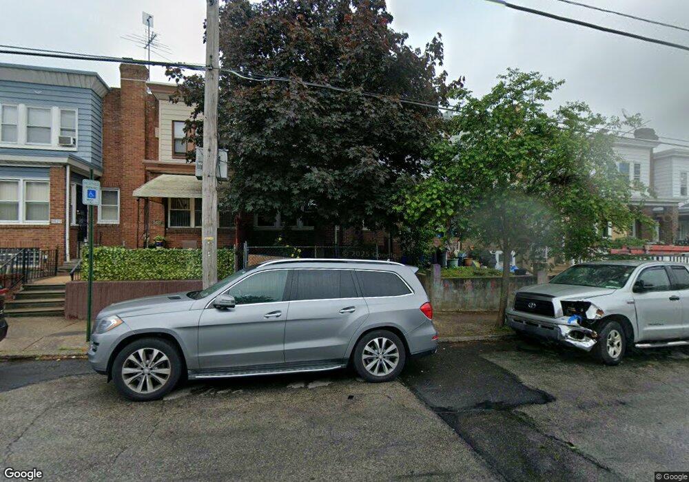
5423 Horrocks St Philadelphia, PA 19124
Frankford NeighborhoodEstimated Value: $197,485 - $225,000
3
Beds
1
Bath
1,274
Sq Ft
$169/Sq Ft
Est. Value
About This Home
This home is located at 5423 Horrocks St, Philadelphia, PA 19124 and is currently estimated at $215,121, approximately $168 per square foot. 5423 Horrocks St is a home located in Philadelphia County with nearby schools including Frankford High School, The Philadelphia Charter School for the Arts & Sciences, and Mastery Schools Smedley Elementary.
Ownership History
Date
Name
Owned For
Owner Type
Purchase Details
Closed on
Jul 16, 2007
Sold by
Jaskowiak Stephen R
Bought by
Jaskowiak Stephen R and Jaskowiak Michelle E
Current Estimated Value
Home Financials for this Owner
Home Financials are based on the most recent Mortgage that was taken out on this home.
Original Mortgage
$81,600
Interest Rate
6.78%
Mortgage Type
New Conventional
Create a Home Valuation Report for This Property
The Home Valuation Report is an in-depth analysis detailing your home's value as well as a comparison with similar homes in the area
Home Values in the Area
Average Home Value in this Area
Purchase History
| Date | Buyer | Sale Price | Title Company |
|---|---|---|---|
| Jaskowiak Stephen R | -- | None Available |
Source: Public Records
Mortgage History
| Date | Status | Borrower | Loan Amount |
|---|---|---|---|
| Closed | Jaskowiak Stephen R | $81,600 |
Source: Public Records
Tax History Compared to Growth
Tax History
| Year | Tax Paid | Tax Assessment Tax Assessment Total Assessment is a certain percentage of the fair market value that is determined by local assessors to be the total taxable value of land and additions on the property. | Land | Improvement |
|---|---|---|---|---|
| 2025 | $1,979 | $170,800 | $34,160 | $136,640 |
| 2024 | $1,979 | $170,800 | $34,160 | $136,640 |
| 2023 | $1,979 | $141,400 | $28,200 | $113,200 |
| 2022 | $815 | $96,400 | $28,200 | $68,200 |
| 2021 | $1,445 | $0 | $0 | $0 |
| 2020 | $1,445 | $0 | $0 | $0 |
| 2019 | $1,386 | $0 | $0 | $0 |
| 2018 | $1,323 | $0 | $0 | $0 |
| 2017 | $1,323 | $0 | $0 | $0 |
| 2016 | $903 | $0 | $0 | $0 |
| 2015 | $864 | $0 | $0 | $0 |
| 2014 | -- | $94,500 | $14,099 | $80,401 |
| 2012 | -- | $12,512 | $948 | $11,564 |
Source: Public Records
Map
Nearby Homes
- 1209 E Sanger St
- 1528 E Cheltenham Ave
- 1244 E Sanger St
- 5347 Sylvester St
- 5403 Oakland St
- 5422 Akron St
- 5446 Akron St
- 1431 Rosalie St
- 5431 Akron St
- 5828 Akron St
- 5345 Akron St
- 1137 Bridge St
- 5412 Large St
- 5823 Akron St
- 1408 Alcott St
- 1150 Bridge St
- 5304 Akron St
- 5835 Akron St
- 5822 Saul St
- 5431 Saul St
- 5421 Horrocks St
- 5419 Horrocks St
- 5425 Horrocks St
- 5417 Horrocks St
- 5427 Horrocks St
- 5415 Horrocks St
- 5429 Horrocks St
- 5413 Horrocks St
- 5431 Horrocks St
- 5420 Discher St
- 5418 Discher St
- 5422 Discher St
- 5424 Discher St
- 5416 Discher St
- 5426 Discher St
- 5433 Horrocks St
- 5414 Discher St
- 5428 Discher St
- 5412 Discher St
- 5435 Horrocks St