5424 Simpson Cir Unit 271 Doylestown, PA 18902
Plumstead NeighborhoodEstimated Value: $338,000 - $353,359
2
Beds
2
Baths
1,260
Sq Ft
$273/Sq Ft
Est. Value
About This Home
This home is located at 5424 Simpson Cir Unit 271, Doylestown, PA 18902 and is currently estimated at $344,340, approximately $273 per square foot. 5424 Simpson Cir Unit 271 is a home located in Bucks County with nearby schools including Groveland Elementary School, Tohickon Middle School, and Central Bucks High School-West.
Ownership History
Date
Name
Owned For
Owner Type
Purchase Details
Closed on
Nov 26, 1996
Sold by
Patriots Ridge Ltd Partnership
Bought by
Miller Patricia A
Current Estimated Value
Home Financials for this Owner
Home Financials are based on the most recent Mortgage that was taken out on this home.
Original Mortgage
$104,100
Outstanding Balance
$10,696
Interest Rate
7.82%
Estimated Equity
$333,644
Create a Home Valuation Report for This Property
The Home Valuation Report is an in-depth analysis detailing your home's value as well as a comparison with similar homes in the area
Home Values in the Area
Average Home Value in this Area
Purchase History
| Date | Buyer | Sale Price | Title Company |
|---|---|---|---|
| Miller Patricia A | $109,650 | -- |
Source: Public Records
Mortgage History
| Date | Status | Borrower | Loan Amount |
|---|---|---|---|
| Open | Miller Patricia A | $104,100 |
Source: Public Records
Tax History Compared to Growth
Tax History
| Year | Tax Paid | Tax Assessment Tax Assessment Total Assessment is a certain percentage of the fair market value that is determined by local assessors to be the total taxable value of land and additions on the property. | Land | Improvement |
|---|---|---|---|---|
| 2025 | $3,829 | $22,040 | -- | $22,040 |
| 2024 | $3,829 | $22,040 | $0 | $22,040 |
| 2023 | $3,708 | $22,040 | $0 | $22,040 |
| 2022 | $3,666 | $22,040 | $0 | $22,040 |
| 2021 | $3,625 | $22,040 | $0 | $22,040 |
| 2020 | $3,625 | $22,040 | $0 | $22,040 |
| 2019 | $3,603 | $22,040 | $0 | $22,040 |
| 2018 | $3,603 | $22,040 | $0 | $22,040 |
| 2017 | $3,554 | $22,040 | $0 | $22,040 |
| 2016 | $3,554 | $22,040 | $0 | $22,040 |
| 2015 | -- | $22,040 | $0 | $22,040 |
| 2014 | -- | $22,040 | $0 | $22,040 |
Source: Public Records
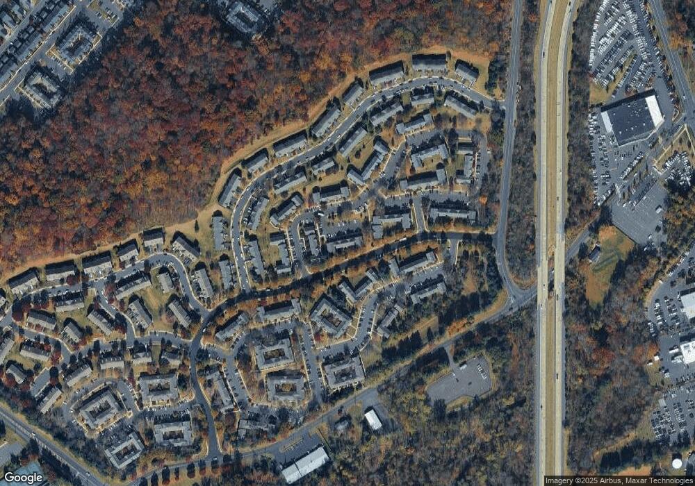
Map
Nearby Homes
- 3765 William Daves Rd
- 3723 William Daves Rd
- 4748 Bishop Cir
- 3838 Jacob Stout Rd
- 3711 Jacob Stout Rd Unit 5
- 3600 Jacob Stout Rd Unit 3
- 114 Blackfriars Cir
- 100 Bishops Gate Ln Unit 67
- 194 Victoria Ct Unit 143
- 301 Windy Run Rd
- 3923 Ferry Rd
- 90 Chapman Ave
- 4263 Kleinot Dr
- 4317 Kleinot Dr
- 4464 Kleinot Dr
- 4330 Kleinot Dr
- 4246 Kleinot Dr
- 4306 Kleinot Dr
- 4298 Kleinot Dr
- 3867 Charter Club Dr
- 5422 Simpson Cir Unit 270
- 5426 Simpson Cir Unit 272
- 5420 Simpson Cir Unit 269
- 5428 Simpson Cir Unit 273
- 5430 Simpson Cir Unit 274
- 5418 Simpson Cir Unit 268
- 5416 Simpson Cir Unit 267
- 5547 Rinker Cir Unit 366
- 5408 Simpson Cir Unit 262
- 5410 Simpson Cir Unit 261
- 5545 Rinker Cir Unit 365
- 5414 Simpson Cir Unit 259
- 5412 Simpson Cir Unit 260
- 5543 Rinker Cir Unit 364
- 5406 Simpson Cir Unit 263
- 5404 Simpson Cir Unit 264
- 5541 Rinker Cir Unit 363
- 5402 Simpson Cir Unit 265
- 5400 Simpson Cir Unit 266
- 5063 Rebecca Fell Dr