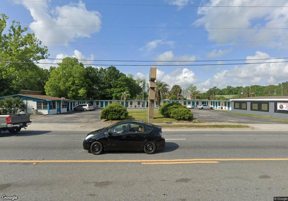
542403 Us Highway 1 Callahan, FL 32011
Estimated Value: $274,071
2
Beds
2
Baths
13,000
Sq Ft
$21/Sq Ft
Est. Value
About This Home
This home is located at 542403 Us Highway 1, Callahan, FL 32011 and is currently priced at $274,071, approximately $21 per square foot. 542403 Us Highway 1 is a home located in Nassau County with nearby schools including Callahan Elementary School, Callahan Intermediate School, and Callahan Middle School.
Ownership History
Date
Name
Owned For
Owner Type
Purchase Details
Closed on
Sep 19, 2025
Sold by
Patel Haresh Kumar D and Patel Manisha Ben
Bought by
Railway Flats Llc
Current Estimated Value
Home Financials for this Owner
Home Financials are based on the most recent Mortgage that was taken out on this home.
Original Mortgage
$100,000
Outstanding Balance
$100,000
Interest Rate
6.63%
Mortgage Type
Seller Take Back
Purchase Details
Closed on
Aug 24, 2021
Sold by
Patel Usha
Bought by
Patel Haresh Kumar D and Patel Maisha Ben
Create a Home Valuation Report for This Property
The Home Valuation Report is an in-depth analysis detailing your home's value as well as a comparison with similar homes in the area
Home Values in the Area
Average Home Value in this Area
Purchase History
| Date | Buyer | Sale Price | Title Company |
|---|---|---|---|
| Railway Flats Llc | $1,000,000 | None Listed On Document | |
| Patel Haresh Kumar D | $225,000 | None Available |
Source: Public Records
Mortgage History
| Date | Status | Borrower | Loan Amount |
|---|---|---|---|
| Open | Railway Flats Llc | $100,000 | |
| Open | Railway Flats Llc | $1,200,000 |
Source: Public Records
Tax History Compared to Growth
Tax History
| Year | Tax Paid | Tax Assessment Tax Assessment Total Assessment is a certain percentage of the fair market value that is determined by local assessors to be the total taxable value of land and additions on the property. | Land | Improvement |
|---|---|---|---|---|
| 2024 | $4,927 | $443,962 | -- | -- |
| 2023 | $4,927 | $454,613 | $0 | $0 |
| 2022 | $4,861 | $349,018 | $0 | $0 |
| 2021 | $4,779 | $326,407 | $0 | $0 |
| 2020 | $4,922 | $327,636 | $0 | $0 |
| 2019 | $4,726 | $329,731 | $0 | $0 |
| 2018 | $4,309 | $278,852 | $0 | $0 |
| 2017 | $4,257 | $279,660 | $0 | $0 |
| 2016 | $3,900 | $251,642 | $0 | $0 |
| 2015 | $4,001 | $251,581 | $0 | $0 |
| 2014 | $4,156 | $257,067 | $0 | $0 |
Source: Public Records
Map
Nearby Homes
- 545819 Route 1
- 45112 Second Ave
- 0 New Ogilvie Rd Unit 108180
- 0 New Ogilvie Rd
- 45047 Amhurst Oaks Dr
- 45134 Booth St
- 45356 Red Brick Dr
- 45348 Red Brick Dr
- 45107 Booth St
- 45113 Red Brick Dr
- TBD U S 301
- 45059 Taylor Rd
- 45124 Red Brick Dr
- 451064 Old Dixie Hwy
- 45397 Ingleham Cir
- 0 Holloway Ln Unit 2104572
- 45394 Ingleham Cir
- 45314 Ingleham Cir
- 45094 Mickler St
- 450129 Florida 200
- 540111 Us Highway 1
- 45383 Green Ave
- 5449 Green St
- 5462 Dixie Ave
- 5582 Green St
- 542416 Us Highway 1
- 45367 Green Ave
- 45388 Dixie Ave
- 542384 Us Highway 1
- 542435 U S 1
- 54378 Green St
- 542430 U S 1
- 45508 Dixie Ave
- 45374 Green Ave
- 45364 Dixie Ave
- 45352 Green St
- 45352 Green Ave
- 1796 S Kings Rd
- 45352 Dixie Ave
- 45532 Dixie Ave