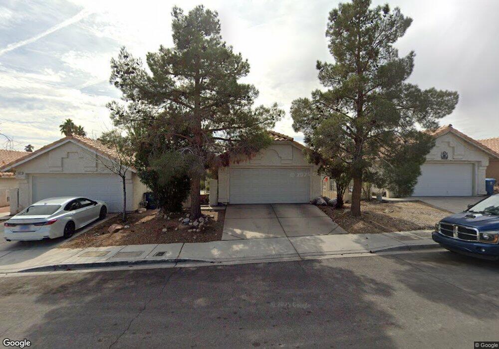
5425 Moonstruck Ave Las Vegas, NV 89107
Michael Way NeighborhoodEstimated Value: $344,244 - $379,000
3
Beds
2
Baths
1,167
Sq Ft
$306/Sq Ft
Est. Value
About This Home
This home is located at 5425 Moonstruck Ave, Las Vegas, NV 89107 and is currently estimated at $356,811, approximately $305 per square foot. 5425 Moonstruck Ave is a home located in Clark County with nearby schools including J.T. McWlliams Elementary School, Robert O Gibson Middle School, and Western High School.
Ownership History
Date
Name
Owned For
Owner Type
Purchase Details
Closed on
Jul 25, 2018
Sold by
Lumen Romeo S and Lumen Emperatriz
Bought by
Lumen Romeo L and Running Rabbit Property Llc
Current Estimated Value
Purchase Details
Closed on
Apr 26, 1995
Sold by
National Horizon Corp
Bought by
Lumen Romeo S and Lumen Emperatriz
Home Financials for this Owner
Home Financials are based on the most recent Mortgage that was taken out on this home.
Original Mortgage
$87,200
Interest Rate
8.51%
Create a Home Valuation Report for This Property
The Home Valuation Report is an in-depth analysis detailing your home's value as well as a comparison with similar homes in the area
Home Values in the Area
Average Home Value in this Area
Purchase History
| Date | Buyer | Sale Price | Title Company |
|---|---|---|---|
| Lumen Romeo L | -- | None Available | |
| Lumen Romeo S | $97,000 | Land Title |
Source: Public Records
Mortgage History
| Date | Status | Borrower | Loan Amount |
|---|---|---|---|
| Closed | Lumen Romeo S | $87,200 |
Source: Public Records
Tax History Compared to Growth
Tax History
| Year | Tax Paid | Tax Assessment Tax Assessment Total Assessment is a certain percentage of the fair market value that is determined by local assessors to be the total taxable value of land and additions on the property. | Land | Improvement |
|---|---|---|---|---|
| 2025 | $1,114 | $65,713 | $25,550 | $40,163 |
| 2024 | $1,082 | $65,713 | $25,550 | $40,163 |
| 2023 | $1,082 | $64,680 | $26,250 | $38,430 |
| 2022 | $1,050 | $56,104 | $21,000 | $35,104 |
| 2021 | $1,020 | $54,537 | $21,000 | $33,537 |
| 2020 | $987 | $53,365 | $19,950 | $33,415 |
| 2019 | $975 | $48,377 | $15,400 | $32,977 |
| 2018 | $931 | $43,672 | $11,900 | $31,772 |
| 2017 | $1,423 | $43,417 | $11,200 | $32,217 |
| 2016 | $882 | $38,923 | $8,400 | $30,523 |
| 2015 | $879 | $30,038 | $5,600 | $24,438 |
| 2014 | $854 | $25,268 | $4,550 | $20,718 |
Source: Public Records
Map
Nearby Homes
- 5420 Moonstruck Ave
- 600 Woodmount Dr
- 5400 Maddox Ave
- 5305 Sugarfoot Ave
- 5612 Pearldrop Ave
- 5713 Whiteridge Ave
- 601 Huntington St
- 5709 Goldmount Ave
- 304 Orland St Unit 53
- 304 Orland St Unit 56
- 304 Orland St Unit 39
- 304 Orland St Unit 38
- 304 Orland St Unit 47
- 304 Orland St Unit 43
- 212 Orland St Unit 23
- 212 Orland St Unit 28
- 212 Orland St Unit 22
- 212 Orland St Unit 19
- 212 Orland St Unit 17
- 208 Orland St Unit 10
- 5421 Moonstruck Ave
- 5429 Moonstruck Ave
- 5417 Moonstruck Ave
- 5433 Moonstruck Ave
- 5413 Moonstruck Ave
- 5437 Moonstruck Ave
- 5409 Moonstruck Ave Unit 4
- 5424 Moonstruck Ave
- 5428 Moonstruck Ave
- 5441 Moonstruck Ave
- 5501 Bromley Ave
- 5432 Moonstruck Ave
- 5413 Bromley Ave
- 5412 Moonstruck Ave
- 5436 Moonstruck Ave Unit 4
- 5509 Bromley Ave
- 5405 Moonstruck Ave
- 5445 Moonstruck Ave