Estimated Value: $463,802
--
Bed
--
Bath
4,517
Sq Ft
$103/Sq Ft
Est. Value
About This Home
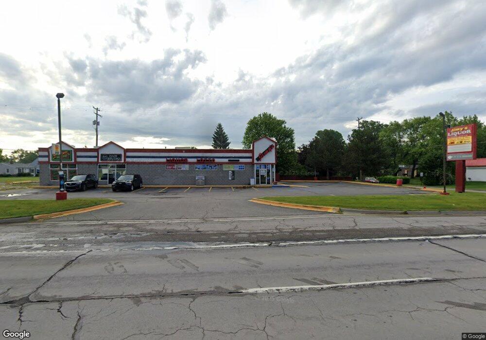
This home is located at 5425 S Dort Hwy, Flint, MI 48507 and is currently estimated at $463,802, approximately $102 per square foot. 5425 S Dort Hwy is a home located in Genesee County with nearby schools including Anderson Elementary School, McGrath Elementary School, and Grand Blanc West Middle School.
Ownership History
Date
Name
Owned For
Owner Type
Purchase Details
Closed on
Sep 5, 2025
Sold by
David Majida and David Majeda
Bought by
5425 South Dort Highway Llc
Current Estimated Value
Purchase Details
Closed on
Jan 8, 2025
Sold by
Hendrickson Makaia
Bought by
Community Loan Servicing Llc and Bayview Loan Servicing Llc
Purchase Details
Closed on
May 9, 2019
Sold by
David Samuel James
Bought by
David Majeda and David Majida
Purchase Details
Closed on
Dec 14, 2001
Sold by
Gaaa Inc
Bought by
David Samuel James and David Majida
Create a Home Valuation Report for This Property
The Home Valuation Report is an in-depth analysis detailing your home's value as well as a comparison with similar homes in the area
Home Values in the Area
Average Home Value in this Area
Purchase History
| Date | Buyer | Sale Price | Title Company |
|---|---|---|---|
| 5425 South Dort Highway Llc | $260,000 | None Listed On Document | |
| Community Loan Servicing Llc | $248,802 | None Listed On Document | |
| David Majeda | -- | None Available | |
| David Samuel James | $350,000 | Sargents Title Company |
Source: Public Records
Tax History Compared to Growth
Tax History
| Year | Tax Paid | Tax Assessment Tax Assessment Total Assessment is a certain percentage of the fair market value that is determined by local assessors to be the total taxable value of land and additions on the property. | Land | Improvement |
|---|---|---|---|---|
| 2025 | $8,971 | $267,500 | $0 | $0 |
| 2024 | $6,629 | $258,800 | $0 | $0 |
| 2023 | $6,320 | $240,200 | $0 | $0 |
| 2022 | $8,138 | $207,700 | $0 | $0 |
| 2021 | $7,966 | $180,400 | $0 | $0 |
| 2020 | $5,744 | $177,000 | $0 | $0 |
| 2019 | $5,656 | $179,800 | $0 | $0 |
| 2018 | $7,363 | $127,100 | $0 | $0 |
| 2017 | $7,252 | $126,500 | $0 | $0 |
| 2016 | $7,569 | $136,600 | $0 | $0 |
| 2015 | $7,444 | $137,500 | $0 | $0 |
| 2012 | -- | $130,300 | $130,300 | $0 |
Source: Public Records
Map
Nearby Homes
- 3049 Baker Heights
- 1234 Fisher Heights
- 00 Durant Heights
- 3092 Durant Heights
- 00 Sloan Heights
- 3077 Kettering Heights
- 00 S Dort Hwy
- VL S Saginaw St
- 2346 Rollins St
- 6085 Westdale Dr
- 2334 Russell St
- 6094 Grove Ave
- 01 S Saginaw St
- 000 S Saginaw St
- 00 S Saginaw St
- 5391 Antoinette Dr
- 6230 Woodsdale Dr
- 6314 Woodsdale Dr
- 2357 Southampton Ave
- 6344 Woodsdale Dr
- 3022 Strong Heights
- 3023 Baker Heights
- 3029 Baker Heights
- 5410 S Dort Hwy
- 3019 Strong Heights
- 3023 Strong Heights
- 5443 S Dort Hwy
- 3032 Strong Heights
- 5403 S Dort Hwy
- 3022 Baker Heights
- 3029 Strong Heights
- 3041 Baker Heights
- 3018 Durant Heights
- 3033 Strong Heights
- 3040 Strong Heights
- 3022 Durant Heights
- 3023 Fisher Heights
- 3028 Durant Heights
- 5407 Rosemary St
- 3032 Durant Heights