5425 State Road B Hillsboro, MO 63050
Estimated Value: $277,000 - $380,000
--
Bed
--
Bath
1,836
Sq Ft
$173/Sq Ft
Est. Value
About This Home
This home is located at 5425 State Road B, Hillsboro, MO 63050 and is currently estimated at $318,523, approximately $173 per square foot. 5425 State Road B is a home located in Jefferson County with nearby schools including Hillsboro Elementary School, Hillsboro Primary School, and Hillsboro Middle Elementary School.
Ownership History
Date
Name
Owned For
Owner Type
Purchase Details
Closed on
Dec 9, 2004
Sold by
Parciak Michael D and Parciak Theresa M
Bought by
Parciak Michael D and Parciak Theresa M
Current Estimated Value
Home Financials for this Owner
Home Financials are based on the most recent Mortgage that was taken out on this home.
Original Mortgage
$50,001
Interest Rate
5.7%
Mortgage Type
New Conventional
Create a Home Valuation Report for This Property
The Home Valuation Report is an in-depth analysis detailing your home's value as well as a comparison with similar homes in the area
Home Values in the Area
Average Home Value in this Area
Purchase History
| Date | Buyer | Sale Price | Title Company |
|---|---|---|---|
| Parciak Michael D | -- | Nations Title Agency Of Miss |
Source: Public Records
Mortgage History
| Date | Status | Borrower | Loan Amount |
|---|---|---|---|
| Closed | Parciak Michael D | $50,001 |
Source: Public Records
Tax History Compared to Growth
Tax History
| Year | Tax Paid | Tax Assessment Tax Assessment Total Assessment is a certain percentage of the fair market value that is determined by local assessors to be the total taxable value of land and additions on the property. | Land | Improvement |
|---|---|---|---|---|
| 2025 | $1,429 | $25,600 | $3,700 | $21,900 |
| 2024 | $1,429 | $23,700 | $3,700 | $20,000 |
| 2023 | $1,429 | $23,700 | $3,700 | $20,000 |
| 2022 | $1,437 | $23,700 | $3,700 | $20,000 |
| 2021 | $1,544 | $23,700 | $3,700 | $20,000 |
| 2020 | $1,404 | $20,900 | $3,100 | $17,800 |
| 2019 | $1,403 | $20,900 | $3,100 | $17,800 |
| 2018 | $1,406 | $20,900 | $3,100 | $17,800 |
| 2017 | $1,337 | $20,900 | $3,100 | $17,800 |
| 2016 | $1,297 | $19,400 | $3,100 | $16,300 |
| 2015 | $1,280 | $19,400 | $3,100 | $16,300 |
| 2013 | $1,280 | $19,100 | $2,800 | $16,300 |
Source: Public Records
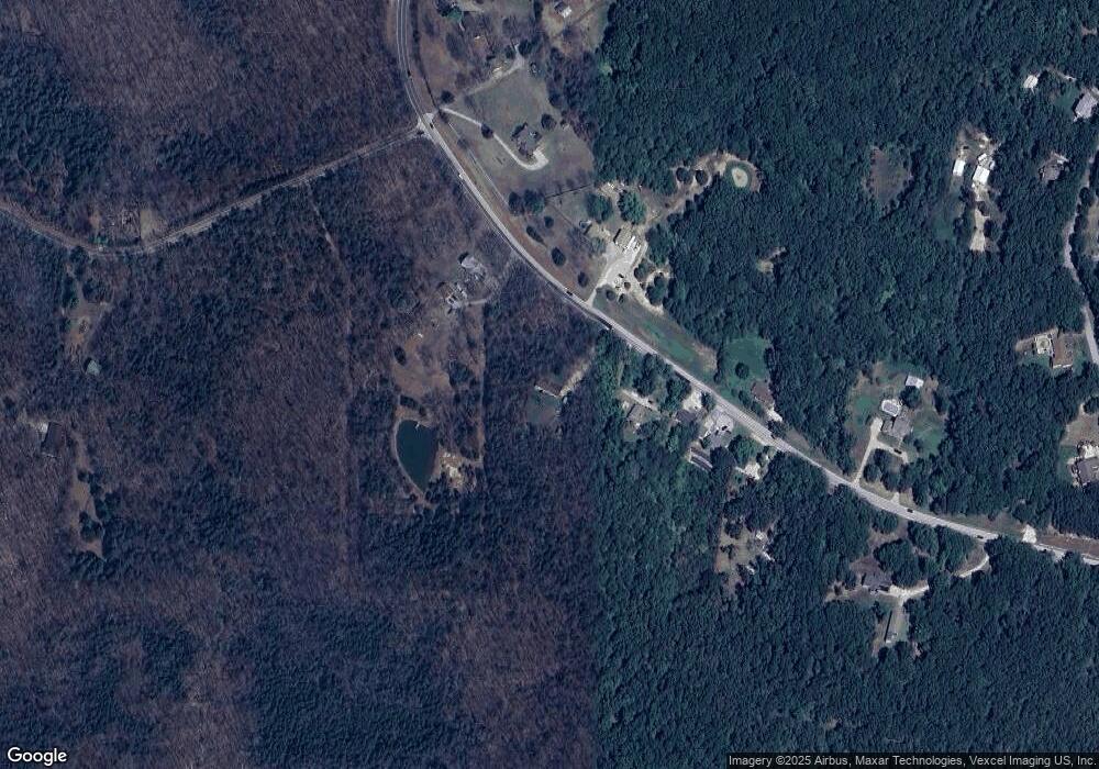
Map
Nearby Homes
- 0 Butcher Branch Rd Unit MAR25024677
- 5848 Forest Dr
- 9909 Sassafras
- 9841 Ridgecrest Dr
- 0 Ridgecrest Dr Unit MIS25071460
- 106 Squirrel Run Ct
- 14 Bluebird Ct
- 18 Bluebird Ct
- 10243 Lake Ridge Dr
- 5707 Forest Dr
- 5753 Forest Dr
- 5683 Forest Dr
- 10068 Waterford Dr
- 10449 Lake Crest Dr
- 10450 Lake Crest Dr
- 5665 Forest Dr
- 10219 Lake Ridge Dr
- 10125 Lake Ridge Dr
- 10155 Lake Ridge Dr
- 5600 Forest Dr
- 5397 State Road B
- 5397 State Road B
- 5397 State Road B
- 5433 Highway B
- 5391 State Road B
- 5433 State Road B
- 5440 Highway B
- 5426 State Road B
- 5426 State Road B
- 5426 State Road B
- 5378 State Road B
- 5378 State Road B
- 5371 State Road B
- 5460 State Road B
- 5364 State Road B
- 5364 State Road B
- 5364 State Road B
- 5466 State Road B
- 5363 State Road B
- 5931 Reynolds Creek Rd