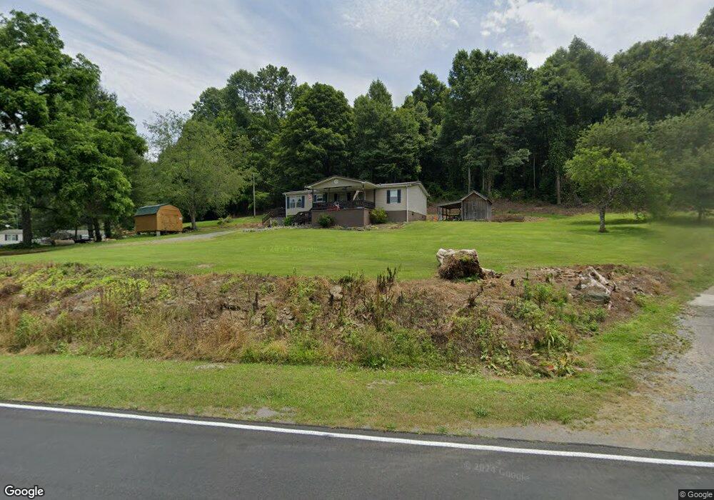
5426 State Route 606 Keokee, VA 24265
Estimated Value: $79,000 - $128,000
3
Beds
2
Baths
--
Sq Ft
5.04
Acres
About This Home
This home is located at 5426 State Route 606, Keokee, VA 24265 and is currently estimated at $100,977. 5426 State Route 606 is a home located in Lee County.
Ownership History
Date
Name
Owned For
Owner Type
Purchase Details
Closed on
Nov 18, 2024
Sold by
Robbins James D and Robbins Rhonda
Bought by
Robbins James D
Current Estimated Value
Home Financials for this Owner
Home Financials are based on the most recent Mortgage that was taken out on this home.
Original Mortgage
$71,316
Outstanding Balance
$69,794
Interest Rate
6.32%
Mortgage Type
Credit Line Revolving
Estimated Equity
$31,183
Purchase Details
Closed on
Apr 29, 2024
Sold by
Adams Dena and Jernigan Dena Jean
Bought by
Jernigan Dena Jean and Jernigan Jon
Purchase Details
Closed on
Jun 2, 2022
Sold by
Robbins James D and Robbins Rhonda
Bought by
Adams Dena
Purchase Details
Closed on
Apr 5, 2016
Sold by
Davis Paul and Davis Agnes
Bought by
Artrip Hannah N and Artrip Deborah
Create a Home Valuation Report for This Property
The Home Valuation Report is an in-depth analysis detailing your home's value as well as a comparison with similar homes in the area
Home Values in the Area
Average Home Value in this Area
Purchase History
| Date | Buyer | Sale Price | Title Company |
|---|---|---|---|
| Robbins James D | -- | None Listed On Document | |
| Jernigan Dena Jean | -- | None Listed On Document | |
| Adams Dena | $1,000 | None Listed On Document | |
| Artrip Hannah N | -- | None Available |
Source: Public Records
Mortgage History
| Date | Status | Borrower | Loan Amount |
|---|---|---|---|
| Open | Robbins James D | $71,316 |
Source: Public Records
Tax History Compared to Growth
Tax History
| Year | Tax Paid | Tax Assessment Tax Assessment Total Assessment is a certain percentage of the fair market value that is determined by local assessors to be the total taxable value of land and additions on the property. | Land | Improvement |
|---|---|---|---|---|
| 2025 | $534 | $77,400 | $9,700 | $67,700 |
| 2024 | $381 | $51,500 | $8,300 | $43,200 |
| 2023 | $319 | $51,500 | $8,300 | $43,200 |
| 2022 | $319 | $51,600 | $8,400 | $43,200 |
| 2021 | $319 | $51,600 | $8,400 | $43,200 |
| 2020 | $319 | $100,700 | $8,400 | $92,300 |
| 2019 | $319 | $51,600 | $8,400 | $43,200 |
| 2018 | $319 | $51,600 | $8,400 | $43,200 |
| 2017 | $319 | $51,600 | $8,400 | $43,200 |
| 2016 | $318 | $51,400 | $8,400 | $43,000 |
| 2015 | -- | $47,800 | $8,400 | $39,400 |
| 2013 | -- | $47,800 | $8,400 | $39,400 |
Source: Public Records
Map
Nearby Homes
- 0 Tbd State Route 606 Unit LotWP001
- 000 Cave Springs Rd
- 44745 Veterans Memorial Hwy
- TBD Cave Springs Rd
- 2301 Monarch Rd
- Tbd Right Poor Valley Rd
- 00 Sandlick Rd
- 487 Right Poor Valley Rd
- 240 Cherry Tree Dr
- 5239 U S 421
- 468 Spears Dr
- Tbd Big Branch Rd
- 000 Big Branch Rd
- 193 Light Dr
- 791 N Kentucky St
- 167 Baxter Loop
- 0 Shuler Dr
- 301 S Johnson Dr
- 404 N Johnson Dr
- 191 Bedrock Dr
- 5392 State Route 606
- 5409 State Route 606
- 5434 State Route 606
- 5299 State Route 606
- 5297 State Route 606
- 5508 State Route 606
- 5504 State Route 606
- 5320 State Route 606
- 5302 State Route 606
- 5255 State Route 606
- 5249 State Route 606
- 5226 State Route 606
- 5156 State Route 606
- 5162 State Route 606
- 4977 State Route 606
- 4874 State Route 606
- 4667 State Route 606
- 4623 State Route 606
- 6241 State Route 606
- 4585 State Route 606