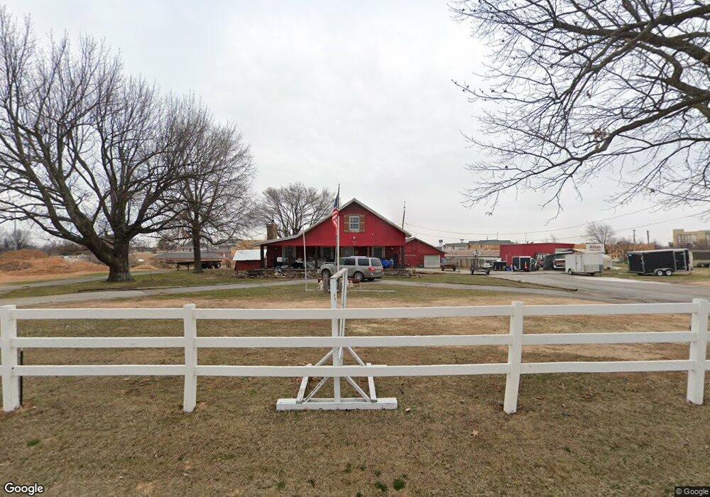
5428 Apple Rd Springdale, AR 72762
Estimated Value: $567,025 - $615,000
--
Bed
2
Baths
2,522
Sq Ft
$234/Sq Ft
Est. Value
About This Home
This home is located at 5428 Apple Rd, Springdale, AR 72762 and is currently estimated at $591,013, approximately $234 per square foot. 5428 Apple Rd is a home located in Washington County with nearby schools including Jim D Rollins Elementary School of Innovation, Hellstern Middle School, and Central Junior High School.
Ownership History
Date
Name
Owned For
Owner Type
Purchase Details
Closed on
Nov 10, 1995
Bought by
Victor Manufacturing Inc
Current Estimated Value
Purchase Details
Closed on
Sep 17, 1995
Bought by
Hunt David L
Purchase Details
Closed on
Aug 18, 1995
Bought by
Hunt David L
Purchase Details
Closed on
Nov 15, 1993
Bought by
Hency Nelson and Hency Jerrine N
Purchase Details
Closed on
Oct 12, 1992
Bought by
Hency David S
Purchase Details
Closed on
Jan 1, 1989
Bought by
Hency Nelson and Hency David S
Create a Home Valuation Report for This Property
The Home Valuation Report is an in-depth analysis detailing your home's value as well as a comparison with similar homes in the area
Home Values in the Area
Average Home Value in this Area
Purchase History
| Date | Buyer | Sale Price | Title Company |
|---|---|---|---|
| Victor Manufacturing Inc | -- | -- | |
| Hunt David L | -- | -- | |
| Hunt David L | $245,000 | -- | |
| Hency Nelson | -- | -- | |
| Hency David S | -- | -- | |
| Hency Nelson | -- | -- |
Source: Public Records
Tax History Compared to Growth
Tax History
| Year | Tax Paid | Tax Assessment Tax Assessment Total Assessment is a certain percentage of the fair market value that is determined by local assessors to be the total taxable value of land and additions on the property. | Land | Improvement |
|---|---|---|---|---|
| 2025 | $822 | $74,460 | $30,280 | $44,180 |
| 2024 | $922 | $74,460 | $30,280 | $44,180 |
| 2023 | $1,025 | $74,460 | $30,280 | $44,180 |
| 2022 | $1,074 | $38,000 | $10,270 | $27,730 |
| 2021 | $1,074 | $38,000 | $10,270 | $27,730 |
| 2020 | $1,074 | $38,000 | $10,270 | $27,730 |
| 2019 | $1,086 | $27,720 | $6,250 | $21,470 |
| 2018 | $1,111 | $27,720 | $6,250 | $21,470 |
| 2017 | $1,097 | $27,720 | $6,250 | $21,470 |
| 2016 | $1,097 | $27,720 | $6,250 | $21,470 |
| 2015 | $1,097 | $27,720 | $6,250 | $21,470 |
| 2014 | $1,109 | $27,950 | $7,210 | $20,740 |
Source: Public Records
Map
Nearby Homes
- 1550 Gene George Blvd
- 2083 S 48th St
- 1463 & 1431 S 48th St
- 5141 Watkins Ave
- 2024 Stonebrook St
- 4301 Bonnie Ave
- 806 Clinton Cir
- 5957 Doris Hunt Ct
- 4107 Lankford Ave
- 6545 Georges Ave
- 4204 Miller Dr
- 2706 Eidson St
- TBD Luvene Ave
- 6322 Apple Shed Ave
- 4102 Brant Dr
- 3910 Clark Ave
- 2.79 AC 3320 S 48th St
- 3906 Chapman Ave
- 6272 Wells Cir
- 3805 Philcrest Place
- 5300 Apple Rd
- 0 Gene George Blvd Unit 1161772
- 0 Gene George Blvd Unit 1194918
- 5174 Apple Rd
- 5671 Apple Rd
- 1656 & 1632 Gene George Blvd
- 1958 S 56th St
- 1764 Gene George Blvd
- 1764 S 56th St
- 1684 Gene George Blvd
- 1656 Gene George Blvd
- 1684 56 St
- 1684 S 56th St
- 1745 S Gene George Blvd
- 5000 Luvene Ave
- 1632 & 1684 S 56th St
- 1632 S 56th St
- 1632 Gene George Blvd
- 2070 Mckenzie Rd
- Lot 6 Mckenzie St