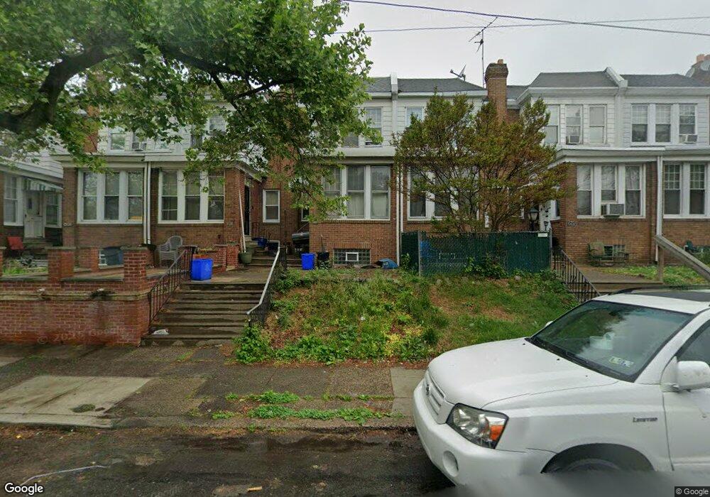
5428 Large St Philadelphia, PA 19124
Frankford NeighborhoodEstimated Value: $205,488 - $248,000
3
Beds
1
Bath
1,464
Sq Ft
$156/Sq Ft
Est. Value
About This Home
This home is located at 5428 Large St, Philadelphia, PA 19124 and is currently estimated at $228,122, approximately $155 per square foot. 5428 Large St is a home located in Philadelphia County with nearby schools including Frankford High School, The Philadelphia Charter School for the Arts & Sciences, and St Martin Of Tours Catholic School.
Ownership History
Date
Name
Owned For
Owner Type
Purchase Details
Closed on
Dec 4, 2018
Sold by
Henderson Francis J
Bought by
Henderson Joanne E and Henderson Francis J
Current Estimated Value
Purchase Details
Closed on
Dec 7, 2012
Sold by
Coppolino Maureen and Estate Of Claire Henderson
Bought by
Henderson Francis J
Purchase Details
Closed on
Jul 10, 1968
Bought by
Henderson Francis J and Henderson Claire G
Create a Home Valuation Report for This Property
The Home Valuation Report is an in-depth analysis detailing your home's value as well as a comparison with similar homes in the area
Home Values in the Area
Average Home Value in this Area
Purchase History
| Date | Buyer | Sale Price | Title Company |
|---|---|---|---|
| Henderson Joanne E | -- | None Available | |
| Henderson Francis J | -- | None Available | |
| Henderson Francis J | -- | -- |
Source: Public Records
Tax History Compared to Growth
Tax History
| Year | Tax Paid | Tax Assessment Tax Assessment Total Assessment is a certain percentage of the fair market value that is determined by local assessors to be the total taxable value of land and additions on the property. | Land | Improvement |
|---|---|---|---|---|
| 2026 | $2,146 | $186,200 | $37,240 | $148,960 |
| 2025 | $2,146 | $186,200 | $37,240 | $148,960 |
| 2024 | $2,146 | $186,200 | $37,240 | $148,960 |
| 2023 | $2,146 | $153,300 | $30,600 | $122,700 |
| 2022 | $990 | $108,300 | $30,600 | $77,700 |
| 2021 | $1,620 | $0 | $0 | $0 |
| 2020 | $1,620 | $0 | $0 | $0 |
| 2019 | $1,554 | $0 | $0 | $0 |
| 2018 | $1,426 | $0 | $0 | $0 |
| 2017 | $1,426 | $0 | $0 | $0 |
| 2016 | $1,426 | $0 | $0 | $0 |
| 2015 | $1,365 | $0 | $0 | $0 |
| 2014 | -- | $101,900 | $19,232 | $82,668 |
| 2012 | -- | $13,344 | $1,411 | $11,933 |
Source: Public Records
Map
Nearby Homes
- 1431 Rosalie St
- 1209 E Sanger St
- 1137 Bridge St
- 5347 Sylvester St
- 1244 E Sanger St
- 5902 E Roosevelt Blvd
- 1048 Bridge St
- 1530 Van Kirk St
- 5451 Oakland St
- 7753 E Roosevelt Blvd
- 5422 Akron St
- 7600 E Roosevelt Blvd Unit 206
- 7600 E Roosevelt Blvd Unit 212
- 7600 E Roosevelt Blvd Unit 909
- 7600 E Roosevelt Blvd Unit 705
- 7600 E Roosevelt Blvd Unit 701
- 7600 E Roosevelt Blvd Unit 806
- 7600 E Roosevelt Blvd Unit 904
- 7600 E Roosevelt Blvd Unit 604
- 6632 E Roosevelt Blvd