5429 Auburn Dr Norman, OK 73072
Estimated Value: $846,142 - $1,036,000
5
Beds
5
Baths
3,989
Sq Ft
$227/Sq Ft
Est. Value
About This Home
This home is located at 5429 Auburn Dr, Norman, OK 73072 and is currently estimated at $904,286, approximately $226 per square foot. 5429 Auburn Dr is a home with nearby schools including Jackson Elementary School, Alcott Middle School, and Norman High School.
Ownership History
Date
Name
Owned For
Owner Type
Purchase Details
Closed on
May 29, 2025
Sold by
Hays Patricia Ray and Phillip Ray Hays Family Trust
Bought by
Phillip Ray Hays Family Trust and Patricia J Hays Family Trust
Current Estimated Value
Purchase Details
Closed on
Jun 16, 2021
Sold by
Hays Phillip Ray and Hays Patricia J
Bought by
Hays Phillip Ray and Hays Patricia Ray
Purchase Details
Closed on
Aug 23, 2018
Sold by
Adkins And Adkins Land Development Llc
Bought by
Hays Phillip and Hays Patricia
Purchase Details
Closed on
Dec 31, 2014
Sold by
Runyan Thomas David and Runyan Linda Elizabeth
Bought by
Adkins And Adkins Land Development Llc
Purchase Details
Closed on
Aug 22, 2014
Sold by
Adkins Adkins and Adkins Land
Bought by
Runyan Thomas David
Create a Home Valuation Report for This Property
The Home Valuation Report is an in-depth analysis detailing your home's value as well as a comparison with similar homes in the area
Home Values in the Area
Average Home Value in this Area
Purchase History
| Date | Buyer | Sale Price | Title Company |
|---|---|---|---|
| Phillip Ray Hays Family Trust | -- | None Listed On Document | |
| Hays Phillip Ray | -- | None Available | |
| Hays Phillip | $667,000 | Guaranty Abstract Company Of | |
| Adkins And Adkins Land Development Llc | $135,000 | None Available | |
| Runyan Thomas David | $125,000 | -- |
Source: Public Records
Tax History Compared to Growth
Tax History
| Year | Tax Paid | Tax Assessment Tax Assessment Total Assessment is a certain percentage of the fair market value that is determined by local assessors to be the total taxable value of land and additions on the property. | Land | Improvement |
|---|---|---|---|---|
| 2025 | $7,591 | $75,639 | $15,578 | $60,061 |
| 2024 | $7,591 | $73,435 | $15,124 | $58,311 |
| 2023 | $7,591 | $71,297 | $15,003 | $56,294 |
| 2022 | $7,278 | $69,220 | $14,850 | $54,370 |
| 2021 | $7,403 | $69,220 | $14,850 | $54,370 |
| 2020 | $7,471 | $69,220 | $14,850 | $54,370 |
| 2019 | $7,322 | $67,204 | $14,850 | $52,354 |
| 2018 | $1,580 | $14,850 | $14,850 | $0 |
| 2017 | $1,582 | $14,850 | $14,850 | $0 |
| 2016 | $1,453 | $13,750 | $13,750 | $0 |
| 2015 | $1,436 | $13,750 | $13,750 | $0 |
| 2014 | $1 | $11 | $11 | $0 |
Source: Public Records
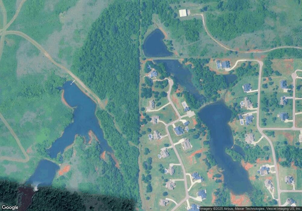
Map
Nearby Homes
- 3301 SE 57th St
- 18302 Stagecoach Trail
- 18337 Tombstone Trail
- 18392 Chuckwagon Trail
- 18444 Posse Trail
- 18398 Stagecoach Trail
- 0 Selah Acres Unit 1152758
- 18395 Wild Horse Trail
- 18569 310th St
- 4204 Upper Lake Dr
- 18591 308th St
- 18627 310th St
- 4700 W Lakes Dr
- 18455 Sleepy Deer Hollow
- 31169 Santa fe Ave
- 4550 Mayes Dr
- 30146 Horseman Alley
- 0 the Vineyards at Selah Unit 1152745
- Plan 2349+ at Selah
- Plan 2608 at Selah
- 5451 Auburn Dr
- 5454 Auburn Dr
- 5467 Auburn Dr
- 5535 Auburn Dr
- 0 Lamar Cir
- 5685 Auburn Dr
- 5555 Auburn Dr
- 5585 Auburn Dr
- 5578 Auburn Dr
- 5609 Auburn Dr
- 5600 Auburn Dr
- 5368 Tina Dr
- 5357 Raelee Ct
- 0 SE Lamar Cir
- 5696 Lamar Cir
- 5698 Tina Dr
- 31237 Western Ave
- 30881 Western Ave
- 31066 Western Ave
- 31228 Western Ave