5429 Burning Tree Dr La Canada Flintridge, CA 91011
Estimated Value: $3,076,682 - $3,344,000
About This Home
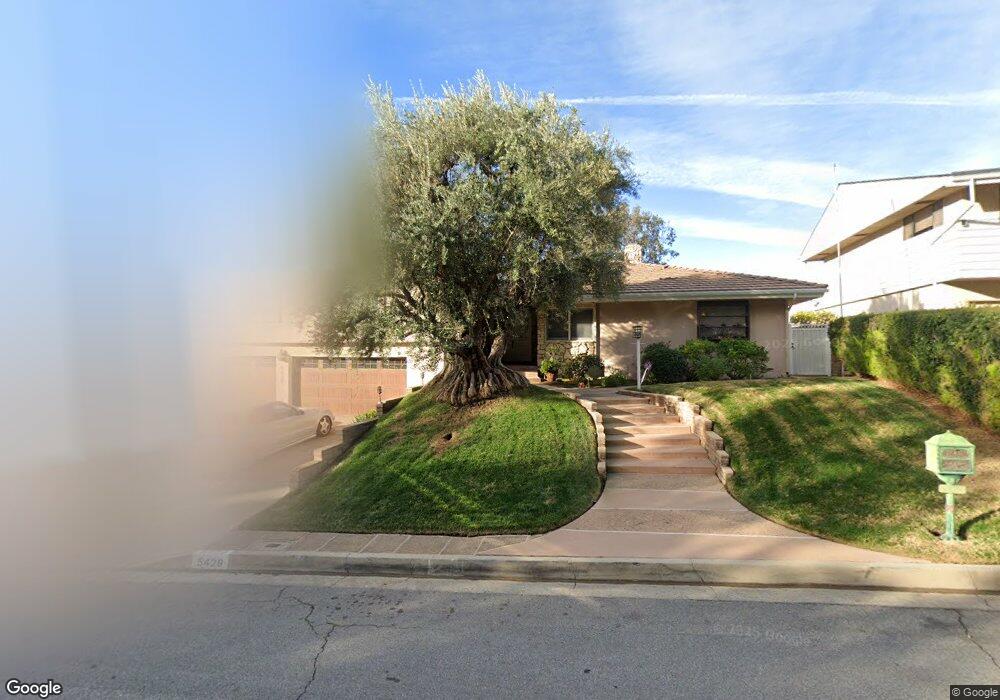
This home is located at 5429 Burning Tree Dr, La Canada Flintridge, CA 91011 and is currently estimated at $3,176,921, approximately $850 per square foot. 5429 Burning Tree Dr is a home located in Los Angeles County with nearby schools including Paradise Canyon Elementary School, La Canada High School, and La Canada Preparatory School.
Ownership History
We collect this data history from publicly available records. To have your information removed, we recommend requesting removal directly through your county’s website.
Purchase Details
Home Financials for this Owner
Home Financials are based on the most recent Mortgage that was taken out on this home.Home Values in the Area
Average Home Value in this Area
Purchase History
We collect this data history from publicly available records. To have your information removed, we recommend requesting removal directly through your county’s website.
| Date | Buyer | Sale Price | Title Company |
|---|---|---|---|
| $700,000 | Southland Title Corporation |
Mortgage History
We collect this data history from publicly available records. To have your information removed, we recommend requesting removal directly through your county’s website.
| Date | Status | Borrower | Loan Amount |
|---|---|---|---|
| Previous Owner | $300,000 |
Tax History
We collect this data history from publicly available records. To have your information removed, we recommend requesting removal directly through your county’s website.
| Year | Tax Paid | Tax Assessment Tax Assessment Total Assessment is a certain percentage of the fair market value that is determined by local assessors to be the total taxable value of land and additions on the property. | Land | Improvement |
|---|---|---|---|---|
| 2025 | $14,032 | $1,162,874 | $376,101 | $786,773 |
| 2024 | $13,568 | $1,140,074 | $368,727 | $771,347 |
| 2023 | $13,243 | $1,117,721 | $361,498 | $756,223 |
| 2022 | $12,719 | $1,095,806 | $354,410 | $741,396 |
| 2021 | $12,611 | $1,074,320 | $347,461 | $726,859 |
| 2019 | $12,234 | $1,042,456 | $337,156 | $705,300 |
| 2018 | $11,902 | $1,022,017 | $330,546 | $691,471 |
| 2016 | $11,557 | $982,332 | $317,711 | $664,621 |
| 2015 | $11,503 | $967,577 | $312,939 | $654,638 |
| 2014 | $11,350 | $948,624 | $306,809 | $641,815 |
Map
- 481 Paulette Place
- 720 Starlight Heights Dr
- 745 Galaxy Heights Dr
- 507 Venado Vista Dr
- 4918 Vineta Ave
- 4923 Burgoyne Ln
- 4909 Gould Ave
- 5065 Indianola Way
- 4820 Burgoyne Ln
- 4909 Indianola Way
- 369 San Juan Way
- 5008 Walmar Ave
- 849 Greenridge Dr
- 4619 Daleridge Rd
- 0 Rising Hill Rd Unit 326048071
- 820 Millard Canyon Rd
- 168 Lamour Dr
- 740 Via Arezzo Place
- 3751 N Hollingsworth Rd
- 500 Georgian Rd
- 5435 Burning Tree Dr
- 5421 Burning Tree Dr
- 451 Meadowview Dr
- 5441 Burning Tree Dr
- 5415 Burning Tree Dr
- 5451 Burning Tree Dr
- 476 Starlight Crest Dr
- 470 Starlight Crest Dr
- 466 Starlight Crest Dr
- 5455 Burning Tree Dr
- 450 Meadowview Dr
- 490 Starlight Crest Dr
- 425 Meadowview Dr
- 444 Meadowview Dr
- 5467 Burning Tree Dr
- 494 Starlight Crest Dr
- 440 Meadowview Dr
- 401 Meadowview Dr
- 434 Meadowview Dr
- 5475 Burning Tree Dr
Ask me questions while you tour the home.