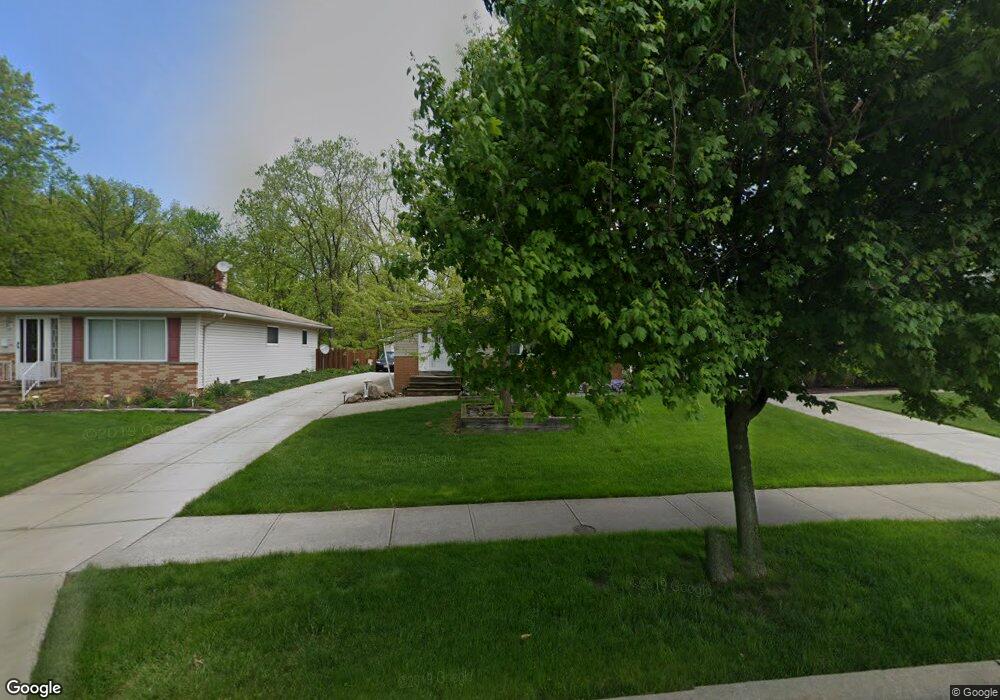
5429 E 141st St Maple Heights, OH 44137
Estimated Value: $139,000 - $155,000
3
Beds
1
Bath
1,176
Sq Ft
$124/Sq Ft
Est. Value
About This Home
This home is located at 5429 E 141st St, Maple Heights, OH 44137 and is currently estimated at $145,471, approximately $123 per square foot. 5429 E 141st St is a home located in Cuyahoga County with nearby schools including Abraham Lincoln Elementary School, Rockside/ J.F. Kennedy School, and Barack Obama School.
Ownership History
Date
Name
Owned For
Owner Type
Purchase Details
Closed on
Jul 7, 2016
Sold by
Papp George D
Bought by
Papp George D and Papp Deborah A
Current Estimated Value
Purchase Details
Closed on
Mar 27, 1989
Sold by
Hays Gertrude C
Bought by
Papp George D
Purchase Details
Closed on
Jan 1, 1975
Bought by
Hays Gertrude C
Create a Home Valuation Report for This Property
The Home Valuation Report is an in-depth analysis detailing your home's value as well as a comparison with similar homes in the area
Home Values in the Area
Average Home Value in this Area
Purchase History
| Date | Buyer | Sale Price | Title Company |
|---|---|---|---|
| Papp George D | -- | Attorney | |
| Papp George D | $63,500 | -- | |
| Hays Gertrude C | -- | -- |
Source: Public Records
Tax History
| Year | Tax Paid | Tax Assessment Tax Assessment Total Assessment is a certain percentage of the fair market value that is determined by local assessors to be the total taxable value of land and additions on the property. | Land | Improvement |
|---|---|---|---|---|
| 2024 | $3,402 | $47,285 | $7,875 | $39,410 |
| 2023 | $3,352 | $32,660 | $5,810 | $26,850 |
| 2022 | $3,339 | $32,660 | $5,810 | $26,850 |
| 2021 | $3,568 | $32,660 | $5,810 | $26,850 |
| 2020 | $3,030 | $24,750 | $4,410 | $20,340 |
| 2019 | $3,015 | $70,700 | $12,600 | $58,100 |
| 2018 | $2,923 | $24,750 | $4,410 | $20,340 |
| 2017 | $3,056 | $24,710 | $3,990 | $20,720 |
| 2016 | $2,955 | $24,710 | $3,990 | $20,720 |
| 2015 | $2,846 | $24,710 | $3,990 | $20,720 |
| 2014 | $2,820 | $25,480 | $4,130 | $21,350 |
Source: Public Records
Map
Nearby Homes
- 13719 Wolf Ave
- 13704 Linn Ave
- 5408 Roland Dr
- 14512 Granger Rd
- 14510 Granger Rd
- 14305 Granger Rd
- 5179 Milo Ave
- 13917 Maple Leaf Dr
- 13206 Shady Oak Blvd
- 5220 Forest Ave
- 13116 Oak Park Blvd
- 13417 Granger Rd
- 13616 Oakview Blvd
- 15095 Granger Rd
- 13009 Willard Ave
- 13008 Willard Ave
- 5270 E 135th St
- 13508 Oakview Blvd
- 5365 E 131st St
- 5380 E 131st St
- 5425 E 141st St
- 5433 E 141st St
- 5437 E 141st St
- 5441 E 141st St
- 5428 E 141st St
- 5424 E 141st St
- 5432 E 141st St
- 5445 E 141st St
- 5420 E 141st St
- 5420 E 141st St Unit E
- 5436 E 141st St
- 5440 E 141st St
- 5449 E 141st St
- 13919 Wolf Ave
- 5444 E 141st St
- 5453 E 141st St
- 5448 E 141st St
- 13918 Wolf Ave
- 13917 Wolf Ave
- 5452 E 141st St
Your Personal Tour Guide
Ask me questions while you tour the home.