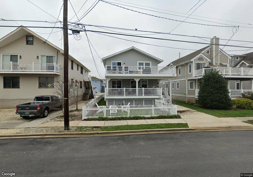
543 22nd St Avalon, NJ 08202
Estimated Value: $1,483,000 - $2,046,000
Studio
--
Bath
1,008
Sq Ft
$1,672/Sq Ft
Est. Value
About This Home
This home is located at 543 22nd St, Avalon, NJ 08202 and is currently estimated at $1,685,486, approximately $1,672 per square foot. 543 22nd St is a home located in Cape May County with nearby schools including Avalon Elementary School.
Ownership History
Date
Name
Owned For
Owner Type
Purchase Details
Closed on
Apr 30, 2021
Sold by
Olsen Gordon E and Della Guardia Laura
Bought by
Olsen Gordon E and Olsen Laura Ann
Current Estimated Value
Home Financials for this Owner
Home Financials are based on the most recent Mortgage that was taken out on this home.
Original Mortgage
$473,000
Outstanding Balance
$346,220
Interest Rate
3.1%
Mortgage Type
New Conventional
Estimated Equity
$1,339,266
Purchase Details
Closed on
Sep 14, 2018
Sold by
Runzer John J and Runzer Suzanne S
Bought by
Olsen Gordon E and Dellaguardia Laura A
Home Financials for this Owner
Home Financials are based on the most recent Mortgage that was taken out on this home.
Original Mortgage
$488,000
Interest Rate
4.5%
Mortgage Type
Purchase Money Mortgage
Purchase Details
Closed on
May 17, 1996
Sold by
Deangelis Wm
Bought by
Runzer John and Runzer Suzanne
Home Financials for this Owner
Home Financials are based on the most recent Mortgage that was taken out on this home.
Original Mortgage
$180,000
Interest Rate
7.77%
Purchase Details
Closed on
Feb 27, 1989
Sold by
Slota Paul and Slota Deanna
Bought by
Deangelis William
Purchase Details
Closed on
Jan 3, 1989
Sold by
Slota Paul and Slota Deanna
Bought by
Slota Paul and Slota Deanna
Purchase Details
Closed on
Dec 30, 1988
Sold by
Slota Robert and Slota Deanna
Bought by
Slota Paul and Slota Deanna
Create a Home Valuation Report for This Property
The Home Valuation Report is an in-depth analysis detailing your home's value as well as a comparison with similar homes in the area
Home Values in the Area
Average Home Value in this Area
Purchase History
| Date | Buyer | Sale Price | Title Company |
|---|---|---|---|
| Olsen Gordon E | -- | Seaboard Title | |
| Olsen Gordon E | -- | Seaboard Title | |
| Olsen Gordon E | $610,000 | -- | |
| Runzer John | $200,000 | -- | |
| Deangelis William | $185,000 | -- | |
| Slota Paul | -- | -- | |
| Slota Paul | -- | -- |
Source: Public Records
Mortgage History
| Date | Status | Borrower | Loan Amount |
|---|---|---|---|
| Open | Olsen Gordon E | $473,000 | |
| Closed | Olsen Gordon E | $473,000 | |
| Previous Owner | Olsen Gordon E | $488,000 | |
| Previous Owner | Runzer John | $180,000 |
Source: Public Records
Tax History
| Year | Tax Paid | Tax Assessment Tax Assessment Total Assessment is a certain percentage of the fair market value that is determined by local assessors to be the total taxable value of land and additions on the property. | Land | Improvement |
|---|---|---|---|---|
| 2025 | $3,369 | $548,700 | $400,000 | $148,700 |
| 2024 | $3,369 | $548,700 | $400,000 | $148,700 |
| 2023 | $3,342 | $548,700 | $400,000 | $148,700 |
| 2022 | $3,117 | $548,700 | $400,000 | $148,700 |
| 2021 | $3,001 | $548,700 | $400,000 | $148,700 |
| 2020 | $2,886 | $548,700 | $400,000 | $148,700 |
| 2019 | $2,798 | $548,700 | $400,000 | $148,700 |
| 2018 | $4,087 | $647,500 | $450,000 | $197,500 |
| 2017 | $4,076 | $736,100 | $550,000 | $186,100 |
| 2016 | $4,049 | $736,100 | $550,000 | $186,100 |
| 2015 | $3,982 | $736,100 | $550,000 | $186,100 |
| 2014 | $3,938 | $736,100 | $550,000 | $186,100 |
Source: Public Records
Map
Nearby Homes
- 447 24th St
- 415 20th St
- 890 21st St
- 389 22nd St
- 386 24th St
- 386 24th St Unit Upper
- 2425 Harbor Ave Unit 2425
- 1668 Ocean Dr Unit B1
- 16 4th Ave
- 211 23rd St
- 212 25th St Unit End Unit
- 2023 Dune Dr Unit R6
- 178 19th St
- 174 23rd St
- 2928 Ocean Dr Unit C-N
- 285 14th St Unit 285
- 285 14th St
- 2934 Ocean Dr Unit North
- 118 22nd St
- 179 27th St
- 543 22nd St Unit 1st Floor
- 545 22nd St
- 545 22nd St Unit 2nd Floor
- 535 22nd St
- 551 22nd St
- 551 22nd St
- 551 22nd St Unit 2
- 551 22nd St Unit 2nd Floor
- 551 22nd St Unit B
- 559 22nd St
- 556 21st St
- 558 21st St
- 527 22nd St
- 565 22nd St Unit 565
- 548 21st St
- 567 22nd St
- 560 21st St
- 536 21st St
- 532 21st St Unit 532
- 532 21st St Unit B
Your Personal Tour Guide
Ask me questions while you tour the home.