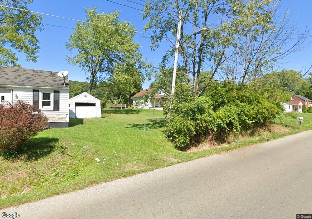
543 Arnold Ave Mansfield, OH 44903
Estimated Value: $82,000 - $109,000
4
Beds
1
Bath
1,551
Sq Ft
$62/Sq Ft
Est. Value
About This Home
This home is located at 543 Arnold Ave, Mansfield, OH 44903 and is currently estimated at $95,868, approximately $61 per square foot. 543 Arnold Ave is a home located in Richland County with nearby schools including Foundation Academy, Mansfield Elective Academy, and Interactive Media & Construction (IMAC) Academy.
Ownership History
Date
Name
Owned For
Owner Type
Purchase Details
Closed on
Mar 17, 2023
Sold by
Sheeks Dianna L
Bought by
C & M Gibson Properties Llc
Current Estimated Value
Purchase Details
Closed on
Jul 29, 2013
Sold by
Gibson Harold C and Gibson Barbara Ann
Bought by
C & M Gibson Properties Llc
Purchase Details
Closed on
Apr 8, 2004
Sold by
Estate Of Ellen M Gibson
Bought by
Gibson Clinton
Purchase Details
Closed on
Jan 23, 2004
Sold by
Estate Of Ellen M Gibson
Bought by
Gibson Clinton
Purchase Details
Closed on
Oct 1, 1985
Create a Home Valuation Report for This Property
The Home Valuation Report is an in-depth analysis detailing your home's value as well as a comparison with similar homes in the area
Home Values in the Area
Average Home Value in this Area
Purchase History
| Date | Buyer | Sale Price | Title Company |
|---|---|---|---|
| C & M Gibson Properties Llc | -- | -- | |
| C & M Gibson Properties Llc | -- | None Listed On Document | |
| C & M Gibson Properties Llc | -- | Attorney | |
| Gibson Clinton | -- | -- | |
| Gibson Clinton | -- | -- | |
| -- | $14,000 | -- |
Source: Public Records
Tax History
| Year | Tax Paid | Tax Assessment Tax Assessment Total Assessment is a certain percentage of the fair market value that is determined by local assessors to be the total taxable value of land and additions on the property. | Land | Improvement |
|---|---|---|---|---|
| 2024 | $1,023 | $21,360 | $1,750 | $19,610 |
| 2023 | $1,023 | $21,360 | $1,750 | $19,610 |
| 2022 | $949 | $16,620 | $1,590 | $15,030 |
| 2021 | $956 | $16,620 | $1,590 | $15,030 |
| 2020 | $978 | $16,620 | $1,590 | $15,030 |
| 2019 | $1,084 | $16,620 | $1,590 | $15,030 |
| 2018 | $1,047 | $16,620 | $1,590 | $15,030 |
| 2017 | $1,019 | $16,620 | $1,590 | $15,030 |
| 2016 | $1,076 | $17,020 | $2,520 | $14,500 |
| 2015 | $1,076 | $17,020 | $2,520 | $14,500 |
| 2014 | $1,015 | $17,020 | $2,520 | $14,500 |
| 2012 | $407 | $17,920 | $2,650 | $15,270 |
Source: Public Records
Map
Nearby Homes
- 572 France St
- 516 Burns St
- 492 Stark St
- 701 Springmill St
- 0 State Route 314 Unit 9069650
- 688 Mcpherson St
- 0 Lemley Ave Unit 9070540
- 739 Armstrong St
- 0 Voegele Ave Unit Lot 6048, 6049, 6
- 799 Mcpherson St
- 641 Averill Ave
- 447 Spayer Ln
- 230 Rae Ave
- 212 Penn Ave
- 368 W 6th St
- 524 Lida St
- 580 N Mulberry St
- 891 Springmill Rd
- 118 Raymond Ave
- 344 W 5th St
Your Personal Tour Guide
Ask me questions while you tour the home.