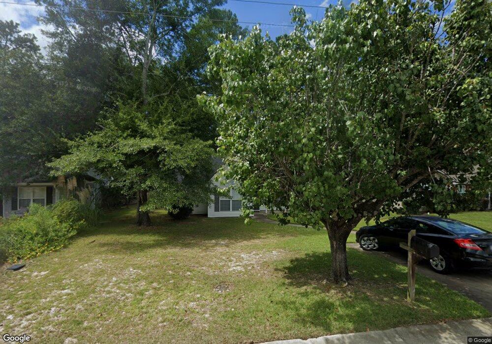
543 Burnside Dr Columbia, SC 29209
The Hamptons NeighborhoodEstimated Value: $225,704 - $242,000
3
Beds
2
Baths
1,277
Sq Ft
$185/Sq Ft
Est. Value
About This Home
This home is located at 543 Burnside Dr, Columbia, SC 29209 and is currently estimated at $235,676, approximately $184 per square foot. 543 Burnside Dr is a home located in Richland County with nearby schools including Meadowfield Elementary School, Hand Middle School, and Dreher High School.
Ownership History
Date
Name
Owned For
Owner Type
Purchase Details
Closed on
Jan 3, 2008
Sold by
Taylor Blake George
Bought by
Monroe Brenda A
Current Estimated Value
Home Financials for this Owner
Home Financials are based on the most recent Mortgage that was taken out on this home.
Original Mortgage
$94,000
Outstanding Balance
$58,994
Interest Rate
6.05%
Mortgage Type
Purchase Money Mortgage
Estimated Equity
$176,682
Purchase Details
Closed on
Jul 3, 2004
Sold by
R A Powell Llc
Bought by
Taylor Blake George
Home Financials for this Owner
Home Financials are based on the most recent Mortgage that was taken out on this home.
Original Mortgage
$102,750
Interest Rate
6.24%
Mortgage Type
Purchase Money Mortgage
Purchase Details
Closed on
Dec 5, 2001
Sold by
Bradford Llc
Bought by
R A Powell Llc
Home Financials for this Owner
Home Financials are based on the most recent Mortgage that was taken out on this home.
Original Mortgage
$83,200
Interest Rate
6.6%
Create a Home Valuation Report for This Property
The Home Valuation Report is an in-depth analysis detailing your home's value as well as a comparison with similar homes in the area
Home Values in the Area
Average Home Value in this Area
Purchase History
| Date | Buyer | Sale Price | Title Company |
|---|---|---|---|
| Monroe Brenda A | $134,000 | None Available | |
| Taylor Blake George | $113,750 | -- | |
| R A Powell Llc | $19,500 | -- |
Source: Public Records
Mortgage History
| Date | Status | Borrower | Loan Amount |
|---|---|---|---|
| Open | Monroe Brenda A | $94,000 | |
| Previous Owner | Taylor Blake George | $102,750 | |
| Previous Owner | R A Powell Llc | $83,200 |
Source: Public Records
Tax History
| Year | Tax Paid | Tax Assessment Tax Assessment Total Assessment is a certain percentage of the fair market value that is determined by local assessors to be the total taxable value of land and additions on the property. | Land | Improvement |
|---|---|---|---|---|
| 2024 | $685 | $145,800 | $0 | $0 |
| 2023 | $660 | $5,068 | $0 | $0 |
| 2022 | $557 | $126,700 | $25,000 | $101,700 |
| 2021 | $575 | $5,070 | $0 | $0 |
| 2020 | $607 | $5,070 | $0 | $0 |
| 2019 | $611 | $5,070 | $0 | $0 |
| 2018 | $491 | $4,410 | $0 | $0 |
| 2017 | $478 | $4,410 | $0 | $0 |
| 2016 | $461 | $4,410 | $0 | $0 |
| 2015 | $461 | $4,410 | $0 | $0 |
| 2014 | $460 | $110,200 | $0 | $0 |
| 2013 | -- | $4,410 | $0 | $0 |
Source: Public Records
Map
Nearby Homes
- 759 Burnside Dr
- 612 Lake Forest Rd
- 404 Hampton Forest Dr
- 411 Hampton Forest Dr
- 1006 Coatesdale Rd
- 231 Forest Green Dr
- 833 Forest Park Rd Unit 115
- 423 Planters Dr
- 600 Rockwood Rd
- 639 Veterans Rd
- 1273 Rockwood Rd
- 1191 Rockwood Rd
- 164 Springway Dr
- 6627 Christie Rd
- 6525 Macon Rd
- 6965 Shelley Rd
- 174 Preston Green Dr
- 813 Greenlawn Dr
- 6427 Christie Rd
- 225 E Lake Trail
- 547 Burnside Dr
- 539 Burnside Dr
- 823 Burnside Dr
- 551 Burnside Dr
- 535 Burnside Dr
- 819 Burnside Dr
- 827 Burnside Dr
- 546 Burnside Dr
- 546 Burnside Dr
- 831 Burnside Dr
- 542 Burnside Dr
- 555 Burnside Dr
- 538 Burnside Dr
- 531 Burnside Dr
- 534 Burnside Dr
- 809 Burnside Dr
- 835 Burnside Dr
- 559 Burnside Dr
- 527 Burnside Dr
- 530 Burnside Dr
Your Personal Tour Guide
Ask me questions while you tour the home.