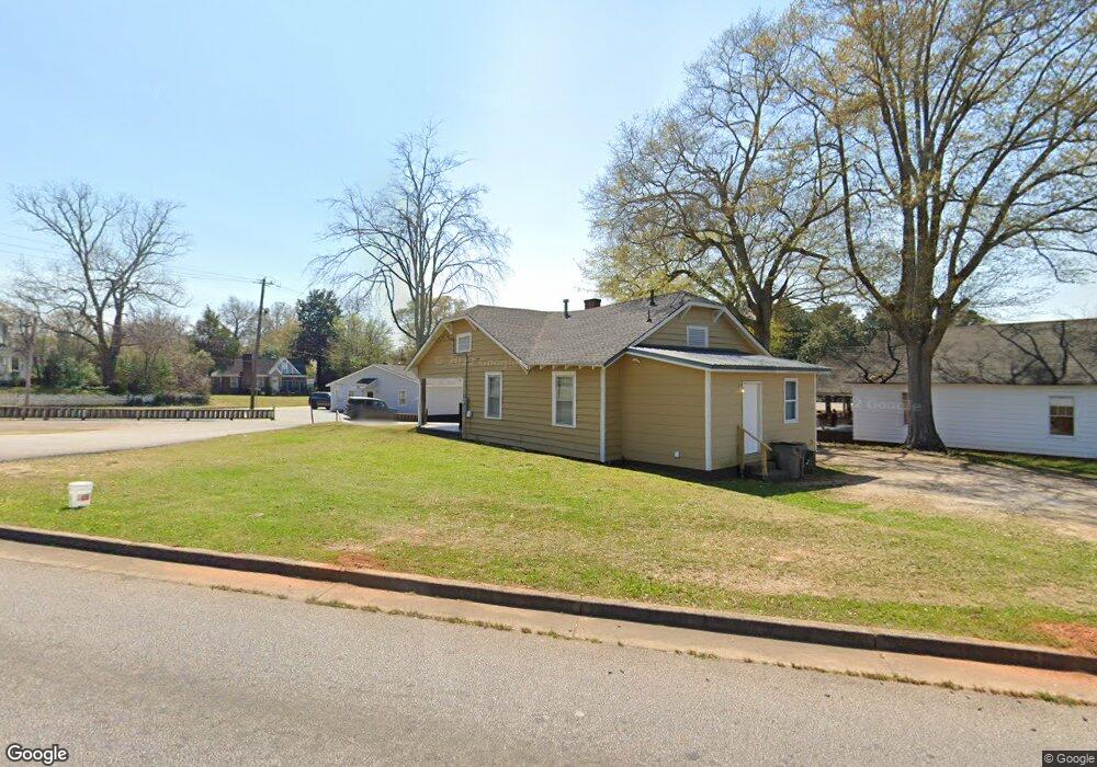
543 E Bacon St Lagrange, GA 30241
Estimated Value: $76,000 - $167,000
3
Beds
1
Bath
1,260
Sq Ft
$88/Sq Ft
Est. Value
About This Home
This home is located at 543 E Bacon St, Lagrange, GA 30241 and is currently estimated at $111,331, approximately $88 per square foot. 543 E Bacon St is a home located in Troup County with nearby schools including Franklin Forest Elementary School, Hollis Hand Elementary School, and Ethel W. Kight Elementary School.
Ownership History
Date
Name
Owned For
Owner Type
Purchase Details
Closed on
Apr 13, 2021
Sold by
Herndon Cornelius
Bought by
Smith Ricky Lamar
Current Estimated Value
Purchase Details
Closed on
Jul 19, 1999
Sold by
Cornelius Herndon and Reator Sale
Bought by
Herndon Cornelius
Purchase Details
Closed on
Jul 22, 1993
Bought by
Cornelius Herndon and Reator Sale
Purchase Details
Closed on
Jun 1, 1993
Sold by
Jeff D Smith
Purchase Details
Closed on
Jul 21, 1987
Sold by
Jeff D Smith
Bought by
Jeff D Smith
Purchase Details
Closed on
Jun 1, 1987
Bought by
Jeff D Smith
Purchase Details
Closed on
Jun 2, 1982
Sold by
Rebecca Bray Etal
Create a Home Valuation Report for This Property
The Home Valuation Report is an in-depth analysis detailing your home's value as well as a comparison with similar homes in the area
Purchase History
| Date | Buyer | Sale Price | Title Company |
|---|---|---|---|
| Smith Ricky Lamar | $240,000 | -- | |
| Herndon Cornelius | $16,000 | -- | |
| Cornelius Herndon | -- | -- | |
| -- | -- | -- | |
| Jeff D Smith | $20,000 | -- | |
| Jeff D Smith | -- | -- | |
| -- | -- | -- |
Source: Public Records
Tax History
| Year | Tax Paid | Tax Assessment Tax Assessment Total Assessment is a certain percentage of the fair market value that is determined by local assessors to be the total taxable value of land and additions on the property. | Land | Improvement |
|---|---|---|---|---|
| 2025 | $985 | $36,120 | $4,760 | $31,360 |
| 2024 | $913 | $33,480 | $4,760 | $28,720 |
| 2023 | $735 | $26,960 | $4,760 | $22,200 |
| 2022 | $670 | $25,280 | $4,760 | $20,520 |
| 2021 | $566 | $18,760 | $4,760 | $14,000 |
| 2020 | $566 | $18,760 | $4,760 | $14,000 |
| 2019 | $426 | $14,132 | $4,492 | $9,640 |
| 2018 | $432 | $14,308 | $4,492 | $9,816 |
| 2017 | $432 | $14,308 | $4,492 | $9,816 |
| 2016 | $430 | $14,250 | $4,492 | $9,758 |
| 2015 | $430 | $14,250 | $4,492 | $9,758 |
| 2014 | $416 | $13,737 | $4,492 | $9,245 |
| 2013 | -- | $14,334 | $4,492 | $9,842 |
Source: Public Records
Map
Nearby Homes
- 131 Foch St
- 616 S Harlem Cir
- 121 de Groat St
- 706 N Harlem Cir
- 622 Arthur St
- 801 Hines St
- 301 E Bacon St
- 803 1/2 Hines St
- 228 E Render St
- 208 Render St
- 203 Bonaventure Dr
- 224 Rutland Cir
- 102 Dogwood Dr
- 335 Laurel Ln
- LOT 58 Belk St
- 119 Belk St
- LOT 65 Belk St
- LOT 66 Belk St
- 0 Ridley Ave Unit 10550104
- 609 Ridley Ave
Your Personal Tour Guide
Ask me questions while you tour the home.