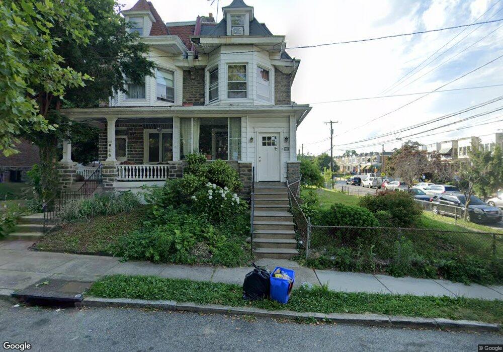
543 E Brinton St Philadelphia, PA 19144
East Germantown NeighborhoodEstimated Value: $250,000 - $340,000
5
Beds
4
Baths
1,920
Sq Ft
$149/Sq Ft
Est. Value
About This Home
This home is located at 543 E Brinton St, Philadelphia, PA 19144 and is currently estimated at $285,263, approximately $148 per square foot. 543 E Brinton St is a home located in Philadelphia County with nearby schools including Eleanor C. Emlen School, Roosevelt Theodore Middle School, and Martin Luther King High School.
Ownership History
Date
Name
Owned For
Owner Type
Purchase Details
Closed on
May 5, 2011
Sold by
Estate Of Henry Vicks
Bought by
Harrison Inocene
Current Estimated Value
Home Financials for this Owner
Home Financials are based on the most recent Mortgage that was taken out on this home.
Original Mortgage
$115,983
Outstanding Balance
$82,862
Interest Rate
5.5%
Mortgage Type
FHA
Estimated Equity
$202,401
Create a Home Valuation Report for This Property
The Home Valuation Report is an in-depth analysis detailing your home's value as well as a comparison with similar homes in the area
Home Values in the Area
Average Home Value in this Area
Purchase History
| Date | Buyer | Sale Price | Title Company |
|---|---|---|---|
| Harrison Inocene | $119,000 | None Available |
Source: Public Records
Mortgage History
| Date | Status | Borrower | Loan Amount |
|---|---|---|---|
| Open | Harrison Inocene | $115,983 |
Source: Public Records
Tax History Compared to Growth
Tax History
| Year | Tax Paid | Tax Assessment Tax Assessment Total Assessment is a certain percentage of the fair market value that is determined by local assessors to be the total taxable value of land and additions on the property. | Land | Improvement |
|---|---|---|---|---|
| 2025 | $2,807 | $247,300 | $49,460 | $197,840 |
| 2024 | $2,807 | $247,300 | $49,460 | $197,840 |
| 2023 | $2,807 | $200,500 | $40,100 | $160,400 |
| 2022 | $1,293 | $155,500 | $40,100 | $115,400 |
| 2021 | $1,923 | $0 | $0 | $0 |
| 2020 | $1,923 | $0 | $0 | $0 |
| 2019 | $2,007 | $0 | $0 | $0 |
| 2018 | $1,988 | $0 | $0 | $0 |
| 2017 | $1,988 | $0 | $0 | $0 |
| 2016 | $1,988 | $0 | $0 | $0 |
| 2015 | $2,081 | $0 | $0 | $0 |
| 2014 | -- | $155,300 | $21,873 | $133,427 |
| 2012 | -- | $14,112 | $2,851 | $11,261 |
Source: Public Records
Map
Nearby Homes
- 539 E Brinton St
- 617 E Brinton St
- 514 Brinton St
- 513 E Brinton St
- 512 E Brinton St
- 381 E Cliveden St
- 6449 Clearview St
- 6327 Musgrave St
- 335 E Cliveden St
- 366 E Upsal St
- 364 E Upsal St
- 358 E Upsal St
- 6700 -6708 Musgrave St
- 6221 Chew Ave
- 306 E Upsal St
- 6210 Clearview St
- 252 E Sharpnack St
- 6492 Lensen St
- 6354 Ross St
- 257 E Sharpnack St
- 541 E Brinton St
- 539 E Brinton St Unit 3
- 539 E Brinton St Unit 2
- 537 E Brinton St
- 542 E Johnson St
- 540 E Johnson St
- 540 E Johnson St Unit 3RD FLOOR
- 6373 Chew Ave Unit 6
- 6373 Chew Ave
- 538 E Johnson St
- 535 E Brinton St
- 6375 Chew Ave
- 6371 Chew Ave
- 6377 Chew Ave
- 6379 Chew Ave
- 6381 Chew Ave
- 6369 Chew Ave
- 6367 Chew Ave
- 6383 Chew Ave
- 542 E Brinton St