543 Forrest Hills Dr Unit 1 Dallas, GA 30157
East Paulding County NeighborhoodEstimated Value: $374,211 - $426,000
4
Beds
3
Baths
2,132
Sq Ft
$184/Sq Ft
Est. Value
About This Home
This home is located at 543 Forrest Hills Dr Unit 1, Dallas, GA 30157 and is currently estimated at $391,803, approximately $183 per square foot. 543 Forrest Hills Dr Unit 1 is a home located in Paulding County with nearby schools including C. A. Roberts Elementary School, East Paulding Middle School, and East Paulding High School.
Ownership History
Date
Name
Owned For
Owner Type
Purchase Details
Closed on
Apr 20, 2016
Sold by
George Tomas Homes Llc
Bought by
Russell Andre
Current Estimated Value
Home Financials for this Owner
Home Financials are based on the most recent Mortgage that was taken out on this home.
Original Mortgage
$175,708
Outstanding Balance
$138,759
Interest Rate
3.5%
Mortgage Type
FHA
Estimated Equity
$253,044
Purchase Details
Closed on
Nov 6, 2012
Sold by
Homelife Communities Of Pa
Bought by
Fidelity Bank
Create a Home Valuation Report for This Property
The Home Valuation Report is an in-depth analysis detailing your home's value as well as a comparison with similar homes in the area
Home Values in the Area
Average Home Value in this Area
Purchase History
| Date | Buyer | Sale Price | Title Company |
|---|---|---|---|
| Russell Andre | $178,950 | -- | |
| Fidelity Bank | $80,000 | -- |
Source: Public Records
Mortgage History
| Date | Status | Borrower | Loan Amount |
|---|---|---|---|
| Open | Russell Andre | $175,708 |
Source: Public Records
Tax History Compared to Growth
Tax History
| Year | Tax Paid | Tax Assessment Tax Assessment Total Assessment is a certain percentage of the fair market value that is determined by local assessors to be the total taxable value of land and additions on the property. | Land | Improvement |
|---|---|---|---|---|
| 2024 | $3,630 | $149,160 | $16,000 | $133,160 |
| 2023 | $3,441 | $134,520 | $16,000 | $118,520 |
| 2022 | $3,192 | $124,320 | $12,000 | $112,320 |
| 2021 | $2,764 | $96,960 | $12,000 | $84,960 |
| 2020 | $2,594 | $89,200 | $12,000 | $77,200 |
| 2019 | $2,674 | $90,600 | $12,000 | $78,600 |
| 2018 | $2,252 | $76,600 | $14,000 | $62,600 |
| 2017 | $2,142 | $70,120 | $14,000 | $56,120 |
| 2016 | $2,033 | $67,240 | $14,000 | $53,240 |
| 2015 | $150 | $4,880 | $4,880 | $0 |
| 2014 | $71 | $2,240 | $2,240 | $0 |
| 2013 | -- | $2,240 | $2,240 | $0 |
Source: Public Records
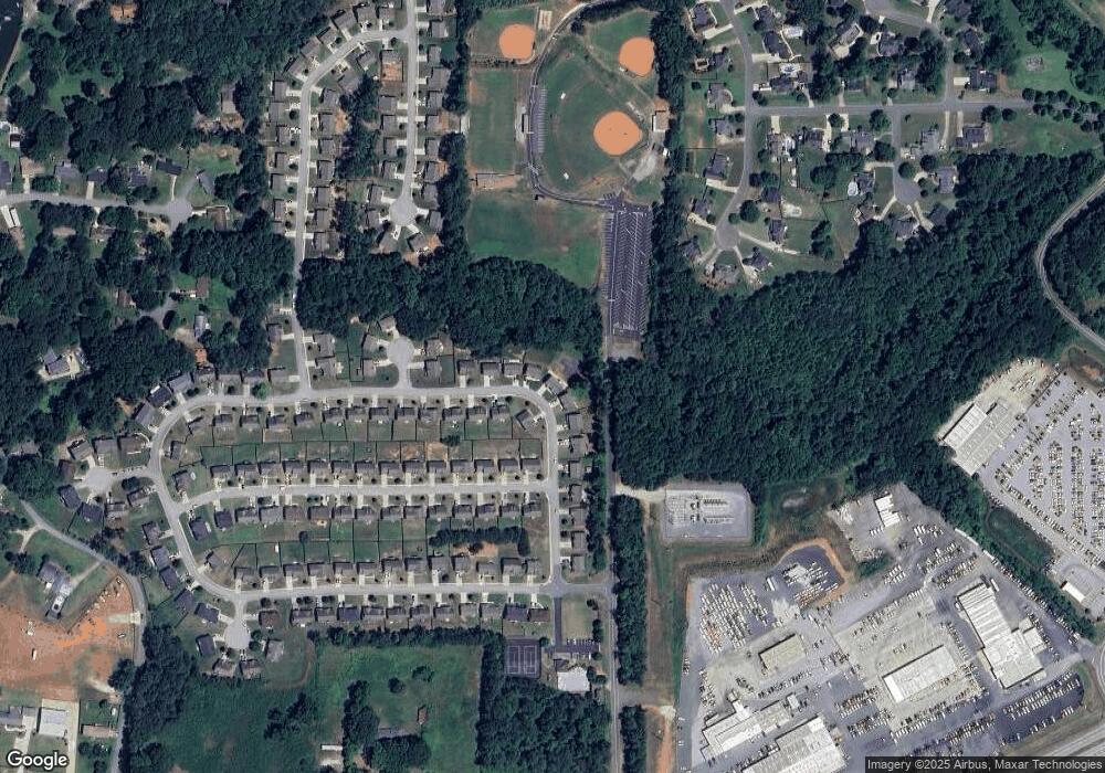
Map
Nearby Homes
- 199 Spring Forrest Ln
- 301 Cantrell Dr
- 368 Cantrell Dr
- 1078 Camry Cir
- 422 Cantrell Dr
- 608 Cantrell Dr
- 500 Cantrell Dr
- 568 Cantrell Dr
- 586 Cantrell Dr
- 526 Cantrell Dr
- 512 Cantrell Dr
- 460 Cantrell Dr
- 534 Cantrell Dr
- 626 Cantrell Dr
- 658 Cantrell Dr
- 552 Cantrell Dr
- Oconee Plan at Mount Tabor Pointe
- Tybee Plan at Mount Tabor Pointe
- Lanier Plan at Mount Tabor Pointe
- Juliette Plan at Mount Tabor Pointe
- 543 Forrest Hills Dr
- 533 Forrest Hills Dr
- 551 Forrest Hills Dr Unit 1
- 551 Forrest Hills Dr
- 525 Forrest Hills Dr
- 559 Forrest Hills Dr Unit 1
- 559 Forrest Hills Dr
- 530 Forrest Hills Dr
- 518 Forrest Hills Dr
- 511 Forrest Hills Dr
- 571 Forrest Hills Dr
- 504 Forrest Hills Dr
- 203 Forrest Park Ln
- 497 Forrest Hills Dr
- 189 Forrest Park Ln
- 583 Forrest Hills Dr
- 490 Forrest Hills Dr
- 175 Forrest Park Ln
- 595 Forrest Hills Dr
- 10 Rolling Hills Ct