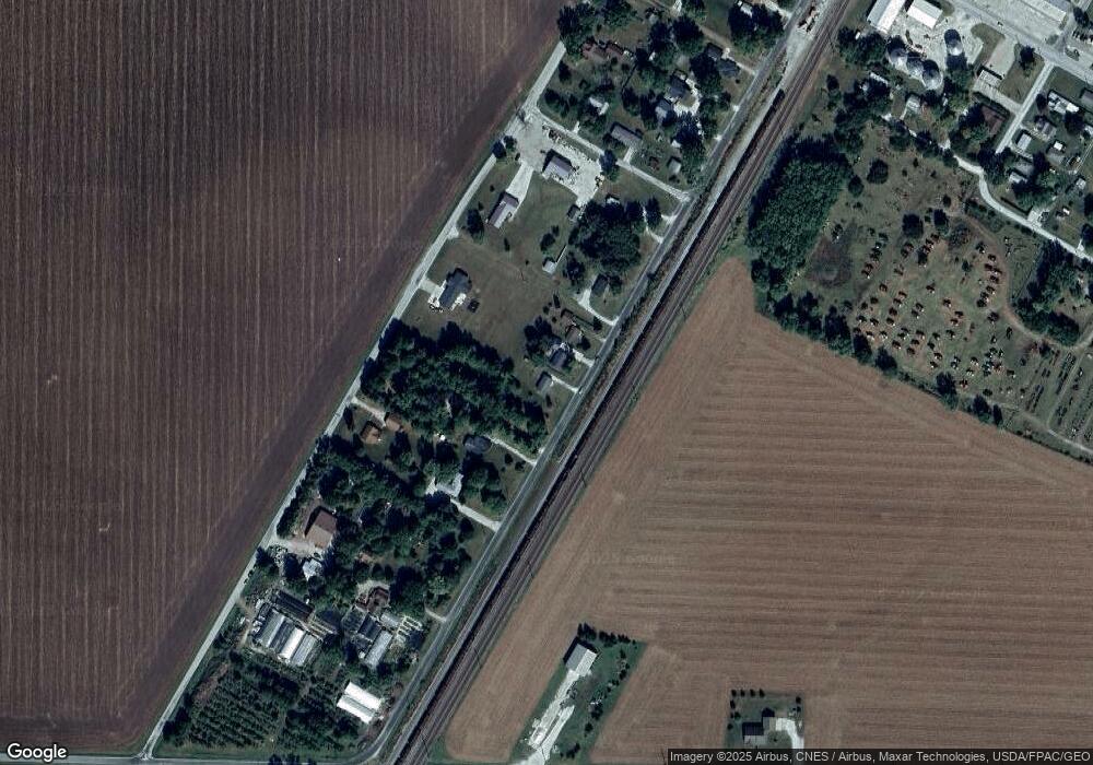
543 Front St Bushnell, IL 61422
Estimated Value: $63,000 - $123,000
3
Beds
--
Bath
1,008
Sq Ft
$79/Sq Ft
Est. Value
About This Home
This home is located at 543 Front St, Bushnell, IL 61422 and is currently estimated at $79,841, approximately $79 per square foot. 543 Front St is a home located in McDonough County with nearby schools including Bushnell-Prairie City Elementary School, Bushnell-Prairie City Junior High School, and Bushnell-Prairie City High School.
Ownership History
Date
Name
Owned For
Owner Type
Purchase Details
Closed on
Dec 13, 2018
Sold by
Pierce Megan L
Bought by
Pierce Daniel Kent
Current Estimated Value
Purchase Details
Closed on
Aug 19, 2016
Sold by
Smith Penny K and Smith Charles J
Bought by
Pierce Daniel K and Pierce Megan L
Purchase Details
Closed on
Nov 30, 2005
Sold by
Smith Charles
Bought by
Smith Penny Kay
Create a Home Valuation Report for This Property
The Home Valuation Report is an in-depth analysis detailing your home's value as well as a comparison with similar homes in the area
Home Values in the Area
Average Home Value in this Area
Purchase History
| Date | Buyer | Sale Price | Title Company |
|---|---|---|---|
| Pierce Daniel Kent | -- | Attorney | |
| Pierce Daniel K | $20,000 | None Available | |
| Smith Penny Kay | -- | None Available |
Source: Public Records
Tax History Compared to Growth
Tax History
| Year | Tax Paid | Tax Assessment Tax Assessment Total Assessment is a certain percentage of the fair market value that is determined by local assessors to be the total taxable value of land and additions on the property. | Land | Improvement |
|---|---|---|---|---|
| 2024 | $1,702 | $18,504 | $1,567 | $16,937 |
| 2023 | $1,637 | $18,308 | $1,550 | $16,758 |
| 2022 | $1,489 | $16,550 | $1,401 | $15,149 |
| 2021 | $1,429 | $15,845 | $1,341 | $14,504 |
| 2020 | $1,446 | $16,944 | $1,322 | $15,622 |
| 2019 | $1,505 | $17,655 | $1,377 | $16,278 |
| 2018 | $1,503 | $16,619 | $1,406 | $15,213 |
| 2017 | $1,502 | $16,382 | $1,386 | $14,996 |
| 2016 | $1,411 | $15,148 | $1,282 | $13,866 |
| 2015 | $1,431 | $15,148 | $1,282 | $13,866 |
| 2014 | $912 | $14,916 | $1,262 | $13,654 |
| 2013 | $897 | $16,111 | $1,363 | $14,748 |
Source: Public Records
Map
Nearby Homes
- 310 N Dean St
- 425 N Jackson St
- 195 W Hail St
- 555 N Jackson St
- 651 N Washington St
- 651 N Sperry St
- 777 Cole St
- 134 W Osborne St
- 924 N Crafford St
- 994 N Crafford St
- 1024 W Main St
- 14 Hillcrest Dr
- 295 W Harris Ave
- 4 Hiel Dr
- 18520 N 1450th Rd
- 16905 E 1600th St
- 22561 N Cornerstone Rd
- 20620 N 2300 Rd
- 20620 N 2300th Rd
- 300 S Park St
