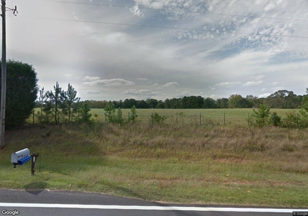
543 Holbrook Rd Newnan, GA 30263
Estimated Value: $416,000 - $973,000
3
Beds
2
Baths
2,134
Sq Ft
$272/Sq Ft
Est. Value
About This Home
This home is located at 543 Holbrook Rd, Newnan, GA 30263 and is currently estimated at $580,606, approximately $272 per square foot. 543 Holbrook Rd is a home with nearby schools including Ruth Hill Elementary School, Smokey Road Middle School, and Newnan High School.
Ownership History
Date
Name
Owned For
Owner Type
Purchase Details
Closed on
Feb 6, 2007
Sold by
Savannah Land Investments Llc
Bought by
Chong & Jung Property Llc
Current Estimated Value
Purchase Details
Closed on
Dec 1, 2005
Sold by
Brown Ridge Inc
Bought by
Savannah Land Investments Llc
Purchase Details
Closed on
Feb 6, 2003
Sold by
Mcdonals Richard W and Mcdonals Annie R
Bought by
Brown Elliott W
Home Financials for this Owner
Home Financials are based on the most recent Mortgage that was taken out on this home.
Original Mortgage
$400,000
Interest Rate
5.95%
Mortgage Type
New Conventional
Purchase Details
Closed on
Oct 13, 1978
Bought by
Mcdonald Richard W
Create a Home Valuation Report for This Property
The Home Valuation Report is an in-depth analysis detailing your home's value as well as a comparison with similar homes in the area
Home Values in the Area
Average Home Value in this Area
Purchase History
| Date | Buyer | Sale Price | Title Company |
|---|---|---|---|
| Chong & Jung Property Llc | $1,350,000 | -- | |
| Savannah Land Investments Llc | $1,000,000 | -- | |
| Brown Elliott W | $415,000 | -- | |
| Mcdonald Richard W | $43,200 | -- |
Source: Public Records
Mortgage History
| Date | Status | Borrower | Loan Amount |
|---|---|---|---|
| Previous Owner | Brown Elliott W | $400,000 |
Source: Public Records
Tax History Compared to Growth
Tax History
| Year | Tax Paid | Tax Assessment Tax Assessment Total Assessment is a certain percentage of the fair market value that is determined by local assessors to be the total taxable value of land and additions on the property. | Land | Improvement |
|---|---|---|---|---|
| 2025 | $3,763 | $159,260 | $80,537 | $78,723 |
| 2024 | $3,368 | $145,101 | $72,452 | $72,649 |
| 2023 | $3,368 | $149,357 | $76,632 | $72,725 |
| 2022 | $3,191 | $129,553 | $69,666 | $59,887 |
| 2021 | $3,244 | $123,235 | $66,348 | $56,887 |
| 2020 | $3,266 | $123,235 | $66,348 | $56,887 |
| 2019 | $3,525 | $120,442 | $76,785 | $43,657 |
| 2018 | $3,531 | $120,442 | $76,785 | $43,657 |
| 2017 | $3,530 | $120,442 | $76,784 | $43,658 |
| 2016 | $3,488 | $120,442 | $76,785 | $43,657 |
| 2015 | $3,429 | $120,442 | $76,785 | $43,657 |
| 2014 | $3,401 | $120,442 | $76,785 | $43,657 |
Source: Public Records
Map
Nearby Homes
- 831 Holbrook Rd
- 0 Old Smokey Rd
- 0 George Arnold Rd Unit 7657652
- 1861 Smokey Rd
- 1845 Smokey Rd
- 15 Forest Place
- 1109 Old Corinth Rd
- 56 Fox Hollow Run
- 130 Mallard Dr
- 407 Earl North Rd
- 140 Beverly Park Ct
- 191 Hearthstone Dr S
- 175 Joe Brown Rd
- 135 Widgeon Dr
- 715 Earl North Rd
- 325 Brandish Dr
- 50 Hearthstone Dr
- 50 Hearthstone Dr E
- 152 Moody Farm Rd
- 0 Emery Nell Ln Unit 10624673
- 593 Holbrook Rd
- 649 Holbrook Rd
- 651 Holbrook Rd
- 584 Holbrook Rd
- 548 Holbrook Rd
- 825 Holbrook Rd
- 841 Holbrook Rd
- 620 Holbrook Rd
- 608 Holbrook Rd
- 747 Holbrook Rd
- 454 Holbrook Rd
- 478 Holbrook Rd
- 435 Holbrook Rd
- 2270 Smokey Rd
- 218 Ashlar Trail
- 240 Ashlar Trail Unit 25
- 210 Ashlar Trail
- 19 Bowers Dr Unit 33
- 19 Bowers Dr
- 264 Ashlar Trail
