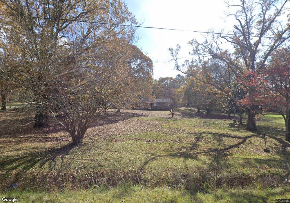
543 Hunt Rd Lagrange, GA 30241
Estimated Value: $245,358 - $355,000
3
Beds
2
Baths
1,870
Sq Ft
$164/Sq Ft
Est. Value
About This Home
This home is located at 543 Hunt Rd, Lagrange, GA 30241 and is currently estimated at $305,840, approximately $163 per square foot. 543 Hunt Rd is a home located in Troup County with nearby schools including Rosemont Elementary School, Whitesville Road Elementary School, and Berta Weathersbee Elementary School.
Ownership History
Date
Name
Owned For
Owner Type
Purchase Details
Closed on
Aug 30, 2004
Sold by
Donna Alsabrook
Bought by
Alsabrook Mike
Current Estimated Value
Purchase Details
Closed on
Mar 15, 2001
Sold by
Ann Tom and Ann Davis Co-Trustees
Bought by
Donna Alsabrook
Purchase Details
Closed on
Oct 29, 1998
Sold by
Frances Hunt
Bought by
Ann Tom and Ann Davis Co-Trustees
Purchase Details
Closed on
Oct 28, 1998
Sold by
James E Hunt
Bought by
Frances Hunt
Purchase Details
Closed on
Jan 1, 1973
Bought by
James E Hunt
Create a Home Valuation Report for This Property
The Home Valuation Report is an in-depth analysis detailing your home's value as well as a comparison with similar homes in the area
Purchase History
| Date | Buyer | Sale Price | Title Company |
|---|---|---|---|
| Alsabrook Mike | -- | -- | |
| Donna Alsabrook | $147,500 | -- | |
| Ann Tom | -- | -- | |
| Frances Hunt | -- | -- | |
| James E Hunt | -- | -- |
Source: Public Records
Tax History
| Year | Tax Paid | Tax Assessment Tax Assessment Total Assessment is a certain percentage of the fair market value that is determined by local assessors to be the total taxable value of land and additions on the property. | Land | Improvement |
|---|---|---|---|---|
| 2025 | $2,170 | $91,760 | $19,800 | $71,960 |
| 2024 | $1,953 | $79,416 | $19,800 | $59,616 |
| 2023 | $1,640 | $67,968 | $19,800 | $48,168 |
| 2022 | $1,773 | $65,528 | $19,800 | $45,728 |
| 2021 | $1,557 | $53,600 | $16,920 | $36,680 |
| 2020 | $1,557 | $53,600 | $16,920 | $36,680 |
| 2019 | $1,557 | $53,600 | $16,920 | $36,680 |
| 2018 | $1,456 | $50,280 | $16,920 | $33,360 |
| 2017 | $1,457 | $50,280 | $16,920 | $33,360 |
| 2016 | $1,428 | $49,317 | $16,950 | $32,367 |
| 2015 | $1,430 | $49,317 | $16,950 | $32,367 |
| 2014 | $1,381 | $47,613 | $16,950 | $30,663 |
| 2013 | -- | $49,641 | $16,950 | $32,691 |
Source: Public Records
Map
Nearby Homes
- 11.59+/- AC Hunt Rd
- 3913 Whitesville Rd
- 2851 & 2891 Hamilton Rd
- 130 Hamilton Lake Dr
- 1605 Bartley Rd
- 137 Robertson Rd
- 0 Whitesville Rd Unit 10496838
- 246 S Smith Rd
- 209 Grace Ct
- 557 Lago Ct
- 312 Lana Ln
- 113 Glenn Eagle Point
- 501 Lago Ct
- 143 Willis Cir
- 329 Linman Dr
- 212 Rooker Dr
- 214 Rooker Dr
- 216 Rooker Dr
- 241 Rooker Dr
- 243 Rooker Dr
- 0 Lanier Rd Unit 7161835
- 0 Lanier Rd Unit 3093158
- 0 Race Track Rd Unit 8084562
- 586 Hunt Rd
- 540 Hunt Rd
- 141 Race Track Rd
- 477 Hunt Rd
- 419 Hunt Rd
- 683 Hunt Rd
- 367 Hunt Rd
- 675 Bartley Rd
- 68 Race Track Rd
- 400 Hunt Rd
- 706 Hunt Rd
- 20 Race Track Rd
- 0 Racetrack Rd Unit 8835048
- 200 Lanier Rd
- 661 Bartley Rd
- 683 Bartley Rd
- 581 Bartley Rd
Your Personal Tour Guide
Ask me questions while you tour the home.