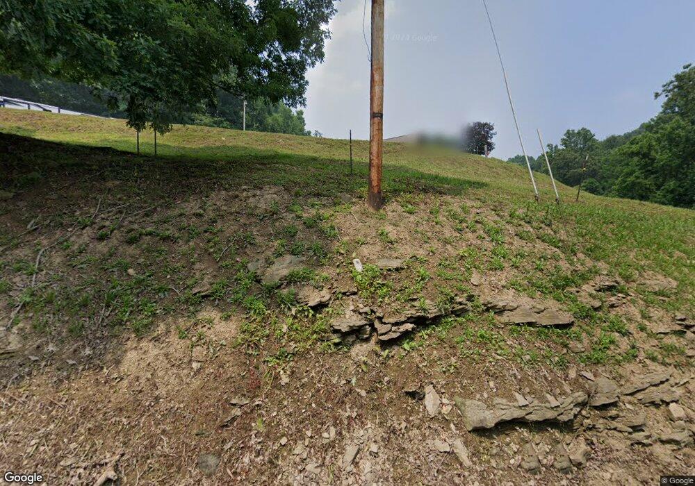
543 Kirby Rd Waynesburg, PA 15370
Estimated Value: $58,000 - $273,000
2
Beds
2
Baths
980
Sq Ft
$134/Sq Ft
Est. Value
About This Home
This home is located at 543 Kirby Rd, Waynesburg, PA 15370 and is currently estimated at $131,351, approximately $134 per square foot. 543 Kirby Rd is a home with nearby schools including Waynesburg Central Elementary School, Miller Middle School, and Waynesburg Central High School.
Ownership History
Date
Name
Owned For
Owner Type
Purchase Details
Closed on
Nov 2, 2017
Sold by
Simpson William B and Simpson Linda J
Bought by
Shriver Gregory K and Shriver Virginia D
Current Estimated Value
Home Financials for this Owner
Home Financials are based on the most recent Mortgage that was taken out on this home.
Original Mortgage
$32,000
Outstanding Balance
$8,007
Interest Rate
3.83%
Mortgage Type
Seller Take Back
Estimated Equity
$123,344
Create a Home Valuation Report for This Property
The Home Valuation Report is an in-depth analysis detailing your home's value as well as a comparison with similar homes in the area
Home Values in the Area
Average Home Value in this Area
Purchase History
| Date | Buyer | Sale Price | Title Company |
|---|---|---|---|
| Shriver Gregory K | $40,000 | None Available |
Source: Public Records
Mortgage History
| Date | Status | Borrower | Loan Amount |
|---|---|---|---|
| Open | Shriver Gregory K | $32,000 |
Source: Public Records
Tax History Compared to Growth
Tax History
| Year | Tax Paid | Tax Assessment Tax Assessment Total Assessment is a certain percentage of the fair market value that is determined by local assessors to be the total taxable value of land and additions on the property. | Land | Improvement |
|---|---|---|---|---|
| 2025 | $1,021 | $25,920 | $16,570 | $9,350 |
| 2024 | $1,021 | $25,920 | $16,570 | $9,350 |
| 2023 | $1,021 | $25,920 | $16,570 | $9,350 |
| 2022 | $1,021 | $25,920 | $16,570 | $9,350 |
| 2021 | $1,021 | $25,920 | $16,570 | $9,350 |
| 2020 | $983 | $25,920 | $16,570 | $9,350 |
| 2019 | $1,089 | $25,920 | $16,570 | $9,350 |
| 2018 | $11 | $28,720 | $16,570 | $12,150 |
| 2017 | $1,165 | $28,720 | $16,570 | $12,150 |
| 2016 | -- | $28,720 | $16,570 | $12,150 |
| 2015 | -- | $28,720 | $16,570 | $12,150 |
| 2014 | -- | $28,720 | $16,570 | $12,150 |
| 2013 | -- | $28,720 | $16,570 | $12,150 |
Source: Public Records
Map
Nearby Homes
- 175 Long Woods Rd
- 121 Hoy Run Rd
- 479 Bell Run Rd
- 1182 Mt Morris Rd
- 1142 Mount Morris Rd
- 398 Sugar Run Rd
- 00 Mine Rd
- 0 Victoria Ln Unit 1705810
- 455 Mount Morris Rd
- 322 Wilson Rd
- 0 Lippencott Rd Unit 1718289
- 353 S Washington St
- 336 Fruit St
- 147 W Elm St
- 119 W Elm St
- 120 Colonial Dr
- 132 Dewey Ave
- 272 E Lincoln St
- 20 Colonial Dr
- 205 Crago Ave
- 160 Willard Rd
- 627 Kirby Rd
- 134 Foly Rd
- 486 Kirby Rd
- 1445 Rudolph Run Rd
- 1434 Rudolph Run Rd
- 1421 Rudolph Run Rd
- 1435 Rudolph Run Rd
- 1519 Rudolph Run Rd
- 1519 Rudolph Run Rd
- 1215 Rudolph Run Rd
- 1300 Rudolph Run Rd
- 1092 Drift Ridge Rd
- 1089 Drift Ridge Rd
- 231 Fuller Rd
- 1080 Smith Creek Rd
- 1086 Smith Creek Rd
